How to get to Rudisa Agencies Nv by bus?
Click on the bus route to see step by step directions with maps, line arrival times and updated time schedules.
From Basisschool de Cederboom, Centrum
67 minFrom Chiragali Project, Blauwgrond
101 minFrom Tbl Cinema, Beekhuizen
88 minFrom G.A. Malhoe, Centrum
61 minFrom O.S. Majosteeg, Livorno
81 minFrom Optiek Kwatta, Welgelegen
86 minFrom Rossignol, Centrum
58 minFrom S. Naipal & Sons, Welgelegen
86 minFrom Lavish Suriname, Beekhuizen
84 minFrom Sam Hing Long Jewellery, Rainville
53 min
Ferry station near Rudisa Agencies Nv in Blauwgrond
- Leonsberg, 44 min walk,VIEW
What are the closest stations to Rudisa Agencies Nv?
The closest stations to Rudisa Agencies Nv are:
- Leonsberg is 3426 meters away, 44 min walk.
Which bus line stops near Rudisa Agencies Nv?
L4 (Leonsberg)
What time is the first ferry to Rudisa Agencies Nv in Blauwgrond?
The F2 is the first ferry that goes to Rudisa Agencies Nv in Blauwgrond. It stops nearby at 5:12 AM.
What time is the last ferry to Rudisa Agencies Nv in Blauwgrond?
The F2 is the last ferry that goes to Rudisa Agencies Nv in Blauwgrond. It stops nearby at 10:32 PM.
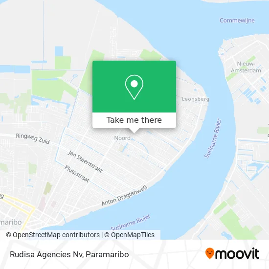
See Rudisa Agencies Nv, Blauwgrond, on the map
Public Transit to Rudisa Agencies Nv in Blauwgrond
Wondering how to get to Rudisa Agencies Nv in Blauwgrond? Moovit helps you find the best way to get to Rudisa Agencies Nv with step-by-step directions from the nearest public transit station.
Moovit provides free maps and live directions to help you navigate through your city. View schedules, routes, timetables, and find out how long does it take to get to Rudisa Agencies Nv in real time.
Looking for the nearest stop or station to Rudisa Agencies Nv? Check out this list of stops closest to your destination: Leonsberg.
Bus: L4.Ferry: F2.
Want to see if there’s another route that gets you there at an earlier time? Moovit helps you find alternative routes or times. Get directions from and directions to Rudisa Agencies Nv easily from the Moovit App or Website.
We make riding to Rudisa Agencies Nv easy, which is why over 1.5 million users, including users in Blauwgrond, trust Moovit as the best app for public transit. You don’t need to download an individual bus app or train app, Moovit is your all-in-one transit app that helps you find the best bus time or train time available.
For information on prices of bus, costs and ride fares to Rudisa Agencies Nv, please check the Moovit app.
Use the app to navigate to popular places including to the airport, hospital, stadium, grocery store, mall, coffee shop, school, college, and university.
Rudisa Agencies Nv Address: Abonestraat street in Blauwgrond
- Ramzon Nv Houtverwerkingsbedrijf,
- Abone Taxi,
- Henry Dahlberg Havo 2,
- Pico Geyersvlijt,
- S.C.S. Indra Maju,
- Su Dong Resort,
- Inra Mayu Sportcomplex,
- Amanda's Beauty Salon,
- Lts 4,
- Imeao 1,
- Ministerie Van Justitie En Politie,
- Beepretty,
- Shri Radha Krishna Mandir,
- Ambassade Van De Verenigde Staten,
- Masdjid Ulul Azmi,
- SOGK,
- Kbs Geyersvlijt,
- Politie Geyersvlijt,
- N.V. Kodent,
- Warung Pawiro
Places Near Rudisa Agencies Nv (Blauwgrond)
- Nationaal Vervoer Bedrijf N.V., Meerzorg,
- PO/PBO Busstation, Centrum,
- Veerplein, Meerzorg,
- Diakonessenhuis, Centrum,
- Ondro Bong, Paramaribo, Centrum,
- Bus Station Tamkas, Centrum,
- O. S. Welgedacht C, De Nieuwe Grond,
- Plantage Frederiksdorp, Margaretha,
- Peperpot Nature Park, Meerzorg,
- Drs. H. R. Gooswit, Lelydorp,
- Academisch Ziekenhuis Paramaribo, Centrum,
- Scholengemeenschap Sanatan Dharma Sgs, Livorno,
- Bus Station Plk, Centrum,
- Warung Monica N.V. & Essy Crew, Rainville,
- Johan Adolf Pengel International Airport | Paramaribo-Zanderij International Airport | PBM, Zuid,
- DHL Express Suriname, Centrum,
- Bus Station Lijn 6, Centrum,
- Charlesburg, Rainville,
- Mei Da Bouwmarkt, Centrum,
- Hermitage Mall, Beekhuizen
How to get to popular places in Paramaribo with public transit
Get around Blauwgrond by public transit!
Traveling around Blauwgrond has never been so easy. See step by step directions as you travel to any attraction, street or major public transit station. View bus and train schedules, arrival times, service alerts and detailed routes on a map, so you know exactly how to get to anywhere in Blauwgrond.
When traveling to any destination around Blauwgrond use Moovit's Live Directions with Get Off Notifications to know exactly where and how far to walk, how long to wait for your line, and how many stops are left. Moovit will alert you when it's time to get off — no need to constantly re-check whether yours is the next stop.
Wondering how to use public transit in Blauwgrond or how to pay for public transit in Blauwgrond? Moovit public transit app can help you navigate your way with public transit easily, and at minimum cost. It includes public transit fees, ticket prices, and costs. Looking for a map of Blauwgrond public transit lines? Moovit public transit app shows all public transit maps in Blauwgrond with all Bus and Ferry routes and stops on an interactive map.
Paramaribo has 2 transit type(s), including: Bus and Ferry, operated by several transit agencies, including P.L.O. and Suriname Ferry