How to get to Rudy Service by bus?
Click on the bus route to see step by step directions with maps, line arrival times and updated time schedules.
From Fast and Good, Marssac-Sur-Tarn
51 minFrom Matériaux Travaux Publics, Albi
41 minFrom Lauriers d'Or, Lescure-D'Albigeois
54 minFrom Jf Pose, Cambon
41 minFrom Albi 2025, Saint-Juéry
47 minFrom Gîte Marssac sur Tarn, Marssac-Sur-Tarn
57 minFrom Auto Hall, Lescure-D'Albigeois
54 minFrom Les Milahinas, Lescure-D'Albigeois
59 minFrom Cocott's Minute, Marssac-Sur-Tarn
50 minFrom Ds Finances, Saint-Juéry
45 min
Bus stops near Rudy Service in Albi
Bus lines to Rudy Service in Albi
What are the closest stations to Rudy Service?
The closest stations to Rudy Service are:
- Ranteil is 320 meters away, 5 min walk.
- Veyrières is 532 meters away, 7 min walk.
- La Vène Basse is 1478 meters away, 19 min walk.
Which bus line stops near Rudy Service?
H (Rayssac)
What’s the nearest bus station to Rudy Service in Albi?
The nearest bus station to Rudy Service in Albi is Ranteil. It’s a 5 min walk away.
What time is the first bus to Rudy Service in Albi?
The H is the first bus that goes to Rudy Service in Albi. It stops nearby at 6:45 AM.
What time is the last bus to Rudy Service in Albi?
The H is the last bus that goes to Rudy Service in Albi. It stops nearby at 7:53 PM.
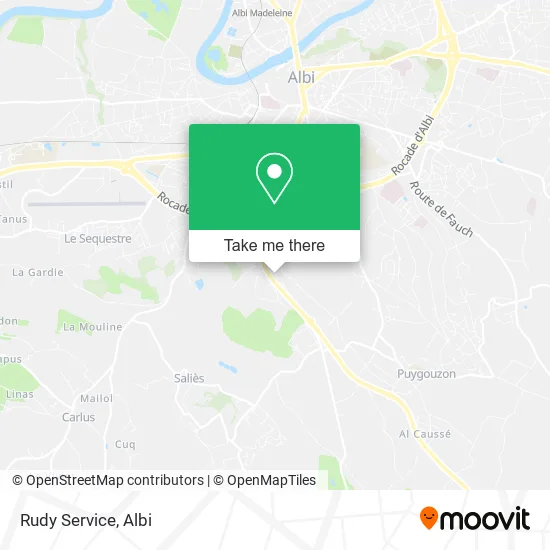
See Rudy Service, Albi, on the map
Public Transit to Rudy Service in Albi
Wondering how to get to Rudy Service in Albi? Moovit helps you find the best way to get to Rudy Service with step-by-step directions from the nearest public transit station.
Moovit provides free maps and live directions to help you navigate through your city. View schedules, routes, timetables, and find out how long does it take to get to Rudy Service in real time.
Looking for the nearest stop or station to Rudy Service? Check out this list of stops closest to your destination: Ranteil; Veyrières; La Vène Basse.
Bus: H, 9, 11, 10.
Want to see if there’s another route that gets you there at an earlier time? Moovit helps you find alternative routes or times. Get directions from and directions to Rudy Service easily from the Moovit App or Website.
We make riding to Rudy Service easy, which is why over 1.5 million users, including users in Albi, trust Moovit as the best app for public transit. You don’t need to download an individual bus app or train app, Moovit is your all-in-one transit app that helps you find the best bus time or train time available.
For information on prices of bus, costs and ride fares to Rudy Service, please check the Moovit app.
Use the app to navigate to popular places including to the airport, hospital, stadium, grocery store, mall, coffee shop, school, college, and university.
Rudy Service Address: Cité de Ranteil 81000 Albi street in Albi
- Bricorama Albi,
- Lévitan C.M.A.S Commerçant Indépendant,
- Portilla Jacky,
- Établissement,
- Albi - Ranteil,
- Société Tarnaise Travaux Publics,
- Le Ranteil Bar Tabac Alimentation,
- Re Bel & Vous,
- Etablissements Benezech,
- Altissimo Albi,
- Glastint Albi,
- Ranteil,
- Barrau Louis,
- GARAGE PIROLA,
- ChargeGuru,
- Smile Credit,
- Debard Automobiles,
- Maurice Joyant,
- D988,
- Croq'Primeur-Europrim's
Places Near Rudy Service (Albi)
- Lycee General Bellevue, Albi,
- Gare SNCF d'Albi-Ville, Albi,
- Clinique Claude Bernard, Albi,
- Piscine Atlantis, Albi,
- Chambre de Métiers et de l'Artisanat du Tarn, Cunac,
- Lycée Sainte-Cécile, Albi,
- Stadium Municipal, Albi,
- Pôle Emploi Albi, Albi,
- Leroy Merlin, Albi,
- Parc Des Expositions, Le Sequestre,
- Le Séquestre, Albi,
- École Des Mines D'Albi-Carmaux, Albi,
- Cpam, Albi,
- Hopital Albi, Albi,
- Institut National Universitaire Champollion, Albi,
- Centre Commercial E. Leclerc, Albi,
- Lycée Rascol, Albi,
- Decathlon, Le Sequestre,
- Parc Pratgraussals, Albi,
- Clinique Toulouse Lautrec, Albi
How to get to popular places in Albi with public transit
Get around Albi by public transit!
Traveling around Albi has never been so easy. See step by step directions as you travel to any attraction, street or major public transit station. View bus and train schedules, arrival times, service alerts and detailed routes on a map, so you know exactly how to get to anywhere in Albi.
When traveling to any destination around Albi use Moovit's Live Directions with Get Off Notifications to know exactly where and how far to walk, how long to wait for your line, and how many stops are left. Moovit will alert you when it's time to get off — no need to constantly re-check whether yours is the next stop.
Wondering how to use public transit in Albi or how to pay for public transit in Albi? Moovit public transit app can help you navigate your way with public transit easily, and at minimum cost. It includes public transit fees, ticket prices, and costs. Looking for a map of Albi public transit lines? Moovit public transit app shows all public transit maps in Albi with all bus routes and stops on an interactive map.
Albi has 1 transit type(s), including: bus, operated by several transit agencies, including libéA - Lignes urbaines, libéA - Navette centre-ville and libéA - Lignes périurbaines