How to get to Rudy's by bus?
Click on the bus route to see step by step directions with maps, line arrival times and updated time schedules.
From Riverside Square Mall, Hackensack
80 minFrom Nutley, NJ, Nutley
37 minFrom Secaucus, NJ, Secaucus
49 minFrom Clara Maass Medical Center, Belleville
49 minFrom Garden State Plaza, Paramus
54 minFrom Wayne, NJ, Wayne
86 minFrom Carlstadt, NJ, Carlstadt
41 minFrom Walmart, North Bergen
97 minFrom Belleville, NJ, Belleville
60 minFrom King Spa, Palisades Park
89 min
How to get to Rudy's by train?
Click on the train route to see step by step directions with maps, line arrival times and updated time schedules.
Bus stops near Rudy's in Clifton
Train station near Rudy's in Clifton
- Passaic, 23 min walk,VIEW
Bus lines to Rudy's in Clifton
What are the closest stations to Rudy's?
The closest stations to Rudy's are:
- Randolph Ave at Durant Ave is 132 yards away, 2 min walk.
- Lexington Ave at Ackerman Ave is 866 yards away, 11 min walk.
- Passaic is 1973 yards away, 23 min walk.
Which bus lines stop near Rudy's?
These bus lines stop near Rudy's: 702, 744.
Which train line stops near Rudy's?
MCL (Suffern)
What’s the nearest train station to Rudy's in Clifton?
The nearest train station to Rudy's in Clifton is Passaic. It’s a 23 min walk away.
What’s the nearest bus station to Rudy's in Clifton?
The nearest bus station to Rudy's in Clifton is Randolph Ave at Durant Ave. It’s a 2 min walk away.
What time is the first train to Rudy's in Clifton?
The MCL is the first train that goes to Rudy's in Clifton. It stops nearby at 5:30 AM.
What time is the last train to Rudy's in Clifton?
The MCL is the last train that goes to Rudy's in Clifton. It stops nearby at 1:59 AM.
What time is the first bus to Rudy's in Clifton?
The 703 is the first bus that goes to Rudy's in Clifton. It stops nearby at 5:29 AM.
What time is the last bus to Rudy's in Clifton?
The 703 is the last bus that goes to Rudy's in Clifton. It stops nearby at 12:36 AM.
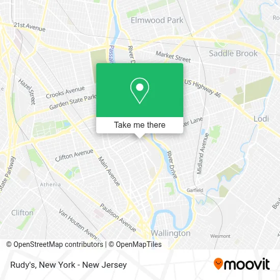
See Rudy's, Clifton, on the map
Public Transit to Rudy's in Clifton
Wondering how to get to Rudy's in Clifton? Moovit helps you find the best way to get to Rudy's with step-by-step directions from the nearest public transit station.
Moovit provides free maps and live directions to help you navigate through your city. View schedules, routes, timetables, and find out how long does it take to get to Rudy's in real time.
Looking for the nearest stop or station to Rudy's? Check out this list of stops closest to your destination: Randolph Ave at Durant Ave; Lexington Ave at Ackerman Ave; Passaic.
Bus: 702, 744, 703, 705.Train: MCL, PJL.
Want to see if there’s another route that gets you there at an earlier time? Moovit helps you find alternative routes or times. Get directions from and directions to Rudy's easily from the Moovit App or Website.
We make riding to Rudy's easy, which is why over 1.5 million users, including users in Clifton, trust Moovit as the best app for public transit. You don’t need to download an individual bus app or train app, Moovit is your all-in-one transit app that helps you find the best bus time or train time available.
For information on prices of bus and train, costs and ride fares to Rudy's, please check the Moovit app.
Use the app to navigate to popular places including to the airport, hospital, stadium, grocery store, mall, coffee shop, school, college, and university.
Rudy's Address: 93 Randolph Ave street in Clifton
- Surprise Store,
- Albanian Cultural Center New York & New Jersey,
- El Patron,
- Barber Ace,
- Backstage Studio298,
- Hair by Luisa,
- Chuckberry Store,
- Oye Bonita Beauty Supply,
- Amazon Locker - Mahd,
- Abilore Beauty,
- Mnj Tax Services,
- B C Travel & Tax Services,
- Mariola Perkowska Dds,
- The Co-OP,
- Mnj Medical Transportation,
- Capital One Bank,
- Angel Star Nail Salon,
- Angel's Hair Design, Clifton,
- A Taste Of Mediterranian Sarejevo,
- Blue Onyx Management
Places Near Rudy's (Clifton)
- Katz's Deli, Manhattan,
- qqqq, Manhattan,
- Queens Center Mall, Queens,
- 66 John Street, Manhattan,
- 911 Memorial, Manhattan,
- 3 Stone St, Manhattan,
- Mountainside Hospital, Glen Ridge,
- Pier 83, Manhattan,
- 111 Centre New York City Supreme Court, Manhattan,
- San Gennaro Feast, Manhattan,
- Hudson Yards, Manhattan,
- 1 Police Plaza, Manhattan,
- Chinatown, Manhattan,
- SoHo, Manhattan,
- 26 Federal Plaza, Manhattan,
- 376 Hudson Street, Manhattan,
- Rockefeller Center, Manhattan,
- Times Square, Manhattan,
- Wall Street, Manhattan,
- Bellevue Hospital, Manhattan
How to get to popular places in New York - New Jersey with public transit
Get around Clifton by public transit!
Traveling around Clifton has never been so easy. See step by step directions as you travel to any attraction, street or major public transit station. View bus and train schedules, arrival times, service alerts and detailed routes on a map, so you know exactly how to get to anywhere in Clifton.
When traveling to any destination around Clifton use Moovit's Live Directions with Get Off Notifications to know exactly where and how far to walk, how long to wait for your line, and how many stops are left. Moovit will alert you when it's time to get off — no need to constantly re-check whether yours is the next stop.
Wondering how to use public transit in Clifton or how to pay for public transit in Clifton? Moovit public transit app can help you navigate your way with public transit easily, and at minimum cost. It includes public transit fees, ticket prices, and costs. Looking for a map of Clifton public transit lines? Moovit public transit app shows all public transit maps in Clifton with all Bus, Train, Subway, Light Rail, Ferry and Cable Car routes and stops on an interactive map.
New York - New Jersey has 6 transit type(s), including: Bus, Train, Subway, Light Rail, Ferry and Cable Car, operated by several transit agencies, including MTA Subway, Metro-North Railroad, LIRR, PATH, MTA New York City Transit - Express routes, MTA Bus, NJ Transit, NYC Ferry, NICE bus, Bee-Line Bus, NJ Transit Rail, Norwalk Transit District, Hartford Line, River Valley Transit and HART