How to get to Rue Bonfa 10 by bus?
Click on the bus route to see step by step directions with maps, line arrival times and updated time schedules.
From Font Barin, Langlade
66 minFrom Caveirac, Caveirac
62 minFrom Étang du Parc du Mas Praden, Marguerittes
54 minFrom La Pondre, Milhaud
42 minFrom F Bassery, Bernis
53 minFrom Zone aéroportuaire de Nîmes-Garons, Saint-Gilles
80 minFrom Milhaud, Milhaud
45 minFrom Guy Véronique, Langlade
63 minFrom Rodilhan, Rodilhan
48 min
Bus stops near Rue Bonfa 10 in Nîmes
Bus lines to Rue Bonfa 10 in Nîmes
What are the closest stations to Rue Bonfa 10?
The closest stations to Rue Bonfa 10 are:
- Saint Luc is 165 meters away, 3 min walk.
- M. Doze is 404 meters away, 6 min walk.
- Menard is 575 meters away, 8 min walk.
Which bus lines stop near Rue Bonfa 10?
These bus lines stop near Rue Bonfa 10: 16, 32, 7, T1.
What’s the nearest bus station to Rue Bonfa 10 in Nîmes?
The nearest bus station to Rue Bonfa 10 in Nîmes is Saint Luc. It’s a 3 min walk away.
What time is the first bus to Rue Bonfa 10 in Nîmes?
The 7 is the first bus that goes to Rue Bonfa 10 in Nîmes. It stops nearby at 6:44 AM.
What time is the last bus to Rue Bonfa 10 in Nîmes?
The 7 is the last bus that goes to Rue Bonfa 10 in Nîmes. It stops nearby at 8:49 PM.
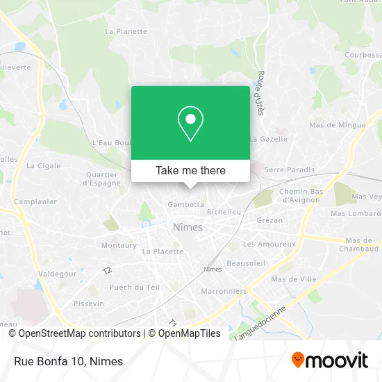
See Rue Bonfa 10, Nîmes, on the map
Public Transit to Rue Bonfa 10 in Nîmes
Wondering how to get to Rue Bonfa 10 in Nîmes? Moovit helps you find the best way to get to Rue Bonfa 10 with step-by-step directions from the nearest public transit station.
Moovit provides free maps and live directions to help you navigate through your city. View schedules, routes, timetables, and find out how long does it take to get to Rue Bonfa 10 in real time.
Looking for the nearest stop or station to Rue Bonfa 10? Check out this list of stops closest to your destination: Saint Luc; M. Doze; Menard.
Bus: 16, 32, 7, T1, 75, 72, 73, 86, 71.
Want to see if there’s another route that gets you there at an earlier time? Moovit helps you find alternative routes or times. Get directions from and directions to Rue Bonfa 10 easily from the Moovit App or Website.
We make riding to Rue Bonfa 10 easy, which is why over 1.5 million users, including users in Nîmes, trust Moovit as the best app for public transit. You don’t need to download an individual bus app or train app, Moovit is your all-in-one transit app that helps you find the best bus time or train time available.
For information on prices of bus, costs and ride fares to Rue Bonfa 10, please check the Moovit app.
Use the app to navigate to popular places including to the airport, hospital, stadium, grocery store, mall, coffee shop, school, college, and university.
Rue Bonfa 10 Address: 10 Rue Bonfa, 30000 Nîmes, France street in Nîmes
- Source De La Crucimèle,
- Rue de la Garrigue 18,
- E.H.P.A.D. Clair Soleil,
- Rue de la Croix de Fer,
- Église Saint-Luc,
- Ecoles Publiques Prosper Mérimée,
- Cave à Vin,
- Raisin Social Club,
- Ehpad Lumière Et Paix,
- Place Michel De L'Ane,
- Acceuil Chateau Silhol,
- Lavoir de la Rue du Puits Couchoux,
- Square du Mont Margarot,
- Carrément Pain,
- Boulangerie la Croix de Fer,
- Mont Margarot,
- Rue Vaissette 28,
- Square des Droits de l'enfant,
- Vacances Nîmes,
- Rue Saint-Charles 8
Places Near Rue Bonfa 10 (Nîmes)
- École Nationale De Police,
- Parc Kennedy,
- Geant Casino,
- Jardins de la Fontaine,
- Clinique Franciscaine,
- Rue Gilles Roberval 285,
- Rond-Point Kilomètre Delta, Nîmes,
- Hôpital Privé Les Franciscaines,
- Polyclinique Du Grand Sud,
- Saint-Césaire,
- Les 7 Collines,
- Kinepolis,
- Centre hospitalier Caremeau,
- E.Leclerc,
- Le Parnasse, Nîmes,
- VILLE ACTIVE, Nîmes,
- La Galerie - Cap Costières,
- Carrefour Nîmes Sud,
- Aire De Covoiturage Nîmes Ouest,
- CHU de Nîmes - Hôpital universitaire Carémeau
How to get to popular places in Nimes with public transit
Get around Nîmes by public transit!
Traveling around Nîmes has never been so easy. See step by step directions as you travel to any attraction, street or major public transit station. View bus and train schedules, arrival times, service alerts and detailed routes on a map, so you know exactly how to get to anywhere in Nîmes.
When traveling to any destination around Nîmes use Moovit's Live Directions with Get Off Notifications to know exactly where and how far to walk, how long to wait for your line, and how many stops are left. Moovit will alert you when it's time to get off — no need to constantly re-check whether yours is the next stop.
Wondering how to use public transit in Nîmes or how to pay for public transit in Nîmes? Moovit public transit app can help you navigate your way with public transit easily, and at minimum cost. It includes public transit fees, ticket prices, and costs. Looking for a map of Nîmes public transit lines? Moovit public transit app shows all public transit maps in Nîmes with all bus routes and stops on an interactive map.
Nimes has 1 transit type(s), including: bus, operated by several transit agencies, including TANGO