How to get to Rue Paul Doumer by bus?
Click on the bus route to see step by step directions with maps, line arrival times and updated time schedules.
How to get to Rue Paul Doumer by train?
Click on the train route to see step by step directions with maps, line arrival times and updated time schedules.
Bus stops near Rue Paul Doumer in Saint-Max
Bus lines to Rue Paul Doumer in Saint-Max
What are the closest stations to Rue Paul Doumer?
The closest stations to Rue Paul Doumer are:
- Mairie De Saint-Max is 127 meters away, 2 min walk.
- Gérard Barrois is 395 meters away, 6 min walk.
- Jean Moulin is 1114 meters away, 15 min walk.
Which bus lines stop near Rue Paul Doumer?
These bus lines stop near Rue Paul Doumer: 13, T3.
Which train line stops near Rue Paul Doumer?
C44 (Nancy)
Which light rail line stops near Rue Paul Doumer?
T1 (Essey Mouzimpré)
What’s the nearest bus station to Rue Paul Doumer in Saint-Max?
The nearest bus station to Rue Paul Doumer in Saint-Max is Mairie De Saint-Max. It’s a 2 min walk away.
What time is the first light rail to Rue Paul Doumer in Saint-Max?
The T1 is the first light rail that goes to Rue Paul Doumer in Saint-Max. It stops nearby at 4:43 AM.
What time is the last light rail to Rue Paul Doumer in Saint-Max?
The T1 is the last light rail that goes to Rue Paul Doumer in Saint-Max. It stops nearby at 12:52 AM.
What time is the first bus to Rue Paul Doumer in Saint-Max?
The 13 is the first bus that goes to Rue Paul Doumer in Saint-Max. It stops nearby at 7:02 AM.
What time is the last bus to Rue Paul Doumer in Saint-Max?
The 13 is the last bus that goes to Rue Paul Doumer in Saint-Max. It stops nearby at 9:18 PM.
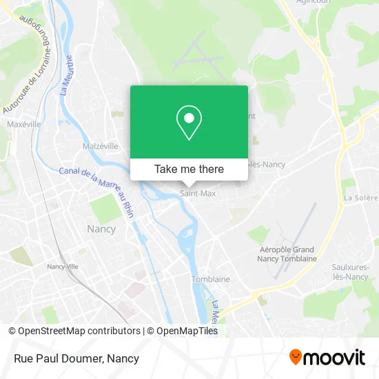
See Rue Paul Doumer, Saint-Max, on the map
Public Transit to Rue Paul Doumer in Saint-Max
Wondering how to get to Rue Paul Doumer in Saint-Max? Moovit helps you find the best way to get to Rue Paul Doumer with step-by-step directions from the nearest public transit station.
Moovit provides free maps and live directions to help you navigate through your city. View schedules, routes, timetables, and find out how long does it take to get to Rue Paul Doumer in real time.
Looking for the nearest stop or station to Rue Paul Doumer? Check out this list of stops closest to your destination: Mairie De Saint-Max; Gérard Barrois; Jean Moulin.
Bus: 13, T3, T1, 22, 32, 58, 65, 59, 60.Train: C44.Light Rail: T1.
Want to see if there’s another route that gets you there at an earlier time? Moovit helps you find alternative routes or times. Get directions from and directions to Rue Paul Doumer easily from the Moovit App or Website.
We make riding to Rue Paul Doumer easy, which is why over 1.5 million users, including users in Saint-Max, trust Moovit as the best app for public transit. You don’t need to download an individual bus app or train app, Moovit is your all-in-one transit app that helps you find the best bus time or train time available.
For information on prices of bus, light rail and train, costs and ride fares to Rue Paul Doumer, please check the Moovit app.
Use the app to navigate to popular places including to the airport, hospital, stadium, grocery store, mall, coffee shop, school, college, and university.
Rue Paul Doumer Address: Rue Paul Doumer, 54130 Saint-Max, France street in Saint-Max
- Le 25, Lieu De Debauche,
- Grenha Almeida Antunes Elisabète,
- Clemenceau,
- Froment Dico,
- Parc Joseph Huet,
- Choco & Co,
- Dr. Fenot Renée,
- Pharmacie de la Meurthe,
- FedEx,
- L Atelier Plan B,
- Optique Médical,
- Opticiens Maurice Frères,
- Entre Bureau Tabac et Antel,
- Tziganisky,
- Banque Cic Est,
- Marie-Noëlle Jondreville,
- Lemoine Daniel,
- La Huche,
- Bienvenue au Sein du Nid,
- Saint Max
Places Near Rue Paul Doumer (Saint-Max)
- Essey-Lès-Nancy, Essey-Lès-Nancy,
- Hopital de Brabois CHU, VandUvre-Lès-Nancy,
- Clinique Pasteur, Essey-Lès-Nancy,
- Villa Majorelle, Nancy,
- Maxéville, Maxéville,
- Haut Du Lièvre, Nancy,
- Dépose-Minute, Nancy,
- Tomblaine, Tomblaine,
- centre d'imagerie jacques callot, Maxéville,
- Piscine Nancy Thermal, Nancy,
- Villers-Lès-Nancy, Villers-Lès-Nancy,
- Kinepolis Nancy, Nancy,
- Zénith De Nancy, Maxéville,
- Rue Colette, Nancy,
- Hôpital Central, Nancy,
- E.Leclerc, VandUvre-Lès-Nancy,
- Nancy Thermal, Nancy,
- Cora, Houdemont,
- Clinique Majorelle, Nancy,
- Polyclinique De Gentilly, Nancy
How to get to popular places in Nancy with public transit
Get around Saint-Max by public transit!
Traveling around Saint-Max has never been so easy. See step by step directions as you travel to any attraction, street or major public transit station. View bus and train schedules, arrival times, service alerts and detailed routes on a map, so you know exactly how to get to anywhere in Saint-Max.
When traveling to any destination around Saint-Max use Moovit's Live Directions with Get Off Notifications to know exactly where and how far to walk, how long to wait for your line, and how many stops are left. Moovit will alert you when it's time to get off — no need to constantly re-check whether yours is the next stop.
Wondering how to use public transit in Saint-Max or how to pay for public transit in Saint-Max? Moovit public transit app can help you navigate your way with public transit easily, and at minimum cost. It includes public transit fees, ticket prices, and costs. Looking for a map of Saint-Max public transit lines? Moovit public transit app shows all public transit maps in Saint-Max with all Bus, Train and Light Rail routes and stops on an interactive map.
Nancy has 3 transit type(s), including: Bus, Train and Light Rail, operated by several transit agencies, including Réseau STAN, SNCF VOYAGEURS and OCEdefault