How to get to Ruffin Medical Group by bus?
Click on the bus route to see step by step directions with maps, line arrival times and updated time schedules.
From Long Branch Beach & Boardwalk, Long Branch
335 minFrom Gunnison Beach, Highlands
342 minFrom Pop Pop Park Park Pl, Atlantic City
31 minFrom Amdur Ambulatory Care Center, Neptune
320 minFrom Freehold, NJ, Freehold
242 minFrom Toms River, NJ, Toms River
141 minFrom PNC Bank Arts Center, Holmdel
284 minFrom Monster Truck Ice Cream Truck, Pacific Ave, Wildwood Crest, Nj
113 min
Bus stops near Ruffin Medical Group in Pleasantville
Bus lines to Ruffin Medical Group in Pleasantville
What are the closest stations to Ruffin Medical Group?
The closest stations to Ruffin Medical Group are:
- Main St at E. Greenfield Ave is 81 yards away, 1 min walk.
- New Rd at Park Ave is 832 yards away, 11 min walk.
Which bus lines stop near Ruffin Medical Group?
These bus lines stop near Ruffin Medical Group: 507, 554, 559.
What’s the nearest bus station to Ruffin Medical Group in Pleasantville?
The nearest bus station to Ruffin Medical Group in Pleasantville is Main St at E. Greenfield Ave. It’s a 1 min walk away.
What time is the first bus to Ruffin Medical Group in Pleasantville?
The 507 is the first bus that goes to Ruffin Medical Group in Pleasantville. It stops nearby at 3:12 AM.
What time is the last bus to Ruffin Medical Group in Pleasantville?
The 507 is the last bus that goes to Ruffin Medical Group in Pleasantville. It stops nearby at 3:16 AM.
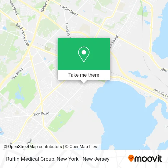
See Ruffin Medical Group, Pleasantville, on the map
Public Transit to Ruffin Medical Group in Pleasantville
Wondering how to get to Ruffin Medical Group in Pleasantville? Moovit helps you find the best way to get to Ruffin Medical Group with step-by-step directions from the nearest public transit station.
Moovit provides free maps and live directions to help you navigate through your city. View schedules, routes, timetables, and find out how long does it take to get to Ruffin Medical Group in real time.
Looking for the nearest stop or station to Ruffin Medical Group? Check out this list of stops closest to your destination: Main St at E. Greenfield Ave; New Rd at Park Ave.
Bus: 507, 554, 559, 509.
Want to see if there’s another route that gets you there at an earlier time? Moovit helps you find alternative routes or times. Get directions from and directions to Ruffin Medical Group easily from the Moovit App or Website.
We make riding to Ruffin Medical Group easy, which is why over 1.5 million users, including users in Pleasantville, trust Moovit as the best app for public transit. You don’t need to download an individual bus app or train app, Moovit is your all-in-one transit app that helps you find the best bus time or train time available.
For information on prices of bus and train, costs and ride fares to Ruffin Medical Group, please check the Moovit app.
Use the app to navigate to popular places including to the airport, hospital, stadium, grocery store, mall, coffee shop, school, college, and university.
Location: Pleasantville, New York - New Jersey
- Vfw,
- The Ark Auto Repair,
- South Side,
- Radio Hoy Jesus Te Invita,
- Atlantic Cape Community College,
- Hospitaler Sisters Of Mercy,
- Jtrs Landscaping Llc,
- Supremes Place-Soulfood,
- Mark Roddy Law,
- Jihad Da Funk Demon Aka Stilla the Grizzly,
- Western Union,
- Pleasantville N.J.,
- North Atlantic Missionary Region - Area 1,
- Angels In Motion NJ,
- Upper Fence Corporation,
- Jeremy's Auto Repair LLC,
- Bitcoin Depot - Bitcoin Atm,
- Chad M Sherwood Llc,
- Law Office Of Richard I. Goldstein,
- Pleasantville Behavioral Health Llc
Places Near Ruffin Medical Group (Pleasantville)
- Pier 83, Manhattan,
- Times Square, Manhattan,
- Katz's Deli, Manhattan,
- qqqq, Manhattan,
- Wall Street, Manhattan,
- Hudson Yards, Manhattan,
- 3 Stone St, Manhattan,
- Rockefeller Center, Manhattan,
- Chinatown, Manhattan,
- Queens Center Mall, Queens,
- 376 Hudson Street, Manhattan,
- 111 Centre New York City Supreme Court, Manhattan,
- 26 Federal Plaza, Manhattan,
- Bellevue Hospital, Manhattan,
- Mountainside Hospital, Glen Ridge,
- 66 John Street, Manhattan,
- 1 Police Plaza, Manhattan,
- 911 Memorial, Manhattan,
- San Gennaro Feast, Manhattan,
- SoHo, Manhattan
How to get to popular places in New York - New Jersey with public transit
Get around Pleasantville by public transit!
Traveling around Pleasantville has never been so easy. See step by step directions as you travel to any attraction, street or major public transit station. View bus and train schedules, arrival times, service alerts and detailed routes on a map, so you know exactly how to get to anywhere in Pleasantville.
When traveling to any destination around Pleasantville use Moovit's Live Directions with Get Off Notifications to know exactly where and how far to walk, how long to wait for your line, and how many stops are left. Moovit will alert you when it's time to get off — no need to constantly re-check whether yours is the next stop.
Wondering how to use public transit in Pleasantville or how to pay for public transit in Pleasantville? Moovit public transit app can help you navigate your way with public transit easily, and at minimum cost. It includes public transit fees, ticket prices, and costs. Looking for a map of Pleasantville public transit lines? Moovit public transit app shows all public transit maps in Pleasantville with all Bus, Train, Subway, Light Rail, Ferry and Cable Car routes and stops on an interactive map.
New York - New Jersey has 6 transit type(s), including: Bus, Train, Subway, Light Rail, Ferry and Cable Car, operated by several transit agencies, including MTA Subway, Metro-North Railroad, LIRR, PATH, MTA New York City Transit - Express routes, MTA Bus, NJ Transit, NYC Ferry, NICE bus, Bee-Line Bus, NJ Transit Rail, Norwalk Transit District, Hartford Line, River Valley Transit and HART