How to get to Rugs Expression & Home by bus?
Click on the bus route to see step by step directions with maps, line arrival times and updated time schedules.
From Smith's, Las Vegas
71 minFrom Dnaesthetics, Spring Valley
65 minFrom MGM Employee Parking Garage, Paradise
64 minFrom Circus Circus, Las Vegas
54 minFrom Libertyx Bitcoin ATM, Spring Valley
73 minFrom Venetian Hotel & Casino, Paradise
64 minFrom Mardi Gras Hotel Casino Las Vegas, Paradise
51 minFrom Carpenters International Training Center Gym, Enterprise
58 minFrom Faith Lutheran Middle School & High School, Summerlin South
50 minFrom The Expo at World Market Center Las Vegas, Las Vegas
42 min
Bus stops near Rugs Expression & Home in Las Vegas
Bus lines to Rugs Expression & Home in Las Vegas
What are the closest stations to Rugs Expression & Home?
The closest stations to Rugs Expression & Home are:
- Nb Decatur Before Oakey is 502 yards away, 7 min walk.
- Eb Charleston After Decatur is 858 yards away, 11 min walk.
- Wb Sahara After Decatur is 986 yards away, 12 min walk.
Which bus lines stop near Rugs Expression & Home?
These bus lines stop near Rugs Expression & Home: 103, SX.
What’s the nearest bus station to Rugs Expression & Home in Las Vegas?
The nearest bus station to Rugs Expression & Home in Las Vegas is Nb Decatur Before Oakey. It’s a 7 min walk away.
What time is the first bus to Rugs Expression & Home in Las Vegas?
The 206 is the first bus that goes to Rugs Expression & Home in Las Vegas. It stops nearby at 3:03 AM.
What time is the last bus to Rugs Expression & Home in Las Vegas?
The SX is the last bus that goes to Rugs Expression & Home in Las Vegas. It stops nearby at 3:19 AM.
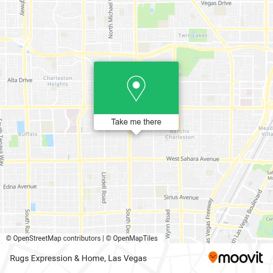
See Rugs Expression & Home, Las Vegas, on the map
Public Transit to Rugs Expression & Home in Las Vegas
Wondering how to get to Rugs Expression & Home in Las Vegas? Moovit helps you find the best way to get to Rugs Expression & Home with step-by-step directions from the nearest public transit station.
Moovit provides free maps and live directions to help you navigate through your city. View schedules, routes, timetables, and find out how long does it take to get to Rugs Expression & Home in real time.
Looking for the nearest stop or station to Rugs Expression & Home? Check out this list of stops closest to your destination: Nb Decatur Before Oakey; Eb Charleston After Decatur; Wb Sahara After Decatur.
Bus: 103, SX, 206.
Want to see if there’s another route that gets you there at an earlier time? Moovit helps you find alternative routes or times. Get directions from and directions to Rugs Expression & Home easily from the Moovit App or Website.
We make riding to Rugs Expression & Home easy, which is why over 1.7 million users, including users in Las Vegas, trust Moovit as the best app for public transit. You don’t need to download an individual bus app or train app, Moovit is your all-in-one transit app that helps you find the best bus time or train time available.
For information on prices of bus and Monorail, costs and ride fares to Rugs Expression & Home, please check the Moovit app.
Use the app to navigate to popular places including to the airport, hospital, stadium, grocery store, mall, coffee shop, school, college, and university.
Rugs Expression & Home Address: 1717 S Decatur Blvd street in Las Vegas
- Tea Rapha,
- Cocos Locos E47a,
- Oakey Healthcare Center,
- Fantastic Indoor Swap Meet,
- S Decatur Blvd / W Oakey Blvd,
- Octapharma Plasma,
- Iglesia Cristiana Jehova Jireh,
- Dd's Discounts,
- T.J. Maxx,
- Trader Joe's,
- Decatur & Oakey,
- Ross,
- Ross Dress for Less,
- Sahara Pavilion North Shopping Center,
- Decatur @ Sahara (N),
- Blueberry Hill Family Restaurant,
- Goodwill,
- SKECHERS Factory Outlet,
- Walmart Supercenter,
- Walmart
Places Near Rugs Expression & Home (Las Vegas)
- Gold & Silver Pawn Shop, Las Vegas,
- Town Square, Enterprise,
- Trump International Hotel Las Vegas, Paradise,
- Las Vegas Premium Outlets-North, Enterprise,
- Arte Museum Las Vegas, Paradise,
- Walmart Supercenter, Las Vegas,
- Lee Canyon, Las Vegas,
- Las Vegas South Premium Outlets, Enterprise,
- Allegiant Stadium, Paradise,
- Omega Mart, Las Vegas,
- Meow Wolf - Las Vegas (Meow Wolf's Omega Mart), Las Vegas,
- Koolsville Tattoos, Las Vegas,
- Area15, Las Vegas,
- Welcome To Fabulous Las Vegas Sign, Paradise,
- The Deuce Bus Stop at Fremont St, Las Vegas,
- Zak Bagans Haunted Museum, Las Vegas,
- Walmart, Las Vegas,
- The Palms Casino Resort, Paradise,
- The Neon Museum, Las Vegas,
- Las Vegas North Premium Outlets, Las Vegas
How to get to popular places in Las Vegas with public transit
Get around Las Vegas by public transit!
Traveling around Las Vegas has never been so easy. See step by step directions as you travel to any attraction, street or major public transit station. View bus and train schedules, arrival times, service alerts and detailed routes on a map, so you know exactly how to get to anywhere in Las Vegas.
When traveling to any destination around Las Vegas use Moovit's Live Directions with Get Off Notifications to know exactly where and how far to walk, how long to wait for your line, and how many stops are left. Moovit will alert you when it's time to get off — no need to constantly re-check whether yours is the next stop.
Wondering how to use public transit in Las Vegas or how to pay for public transit in Las Vegas? Moovit public transit app can help you navigate your way with public transit easily, and at minimum cost. It includes public transit fees, ticket prices, and costs. Looking for a map of Las Vegas public transit lines? Moovit public transit app shows all public transit maps in Las Vegas with all Bus and Monorail routes and stops on an interactive map.
Las Vegas has 2 transit type(s), including: Bus and Monorail, operated by several transit agencies, including RTCSNV, City of Las Vegas, Alvand Transportation, Vegas Airporter, Las Vegas Monorail, FlixBus-us and Greyhound-us