Directions to Runners Inc (Baltimore County) with public transportation
The following transit lines have routes that pass near Runners Inc
 Bus: 75, CITYLINK YELLOW.
- Train: MARC.
How to get to Runners Inc by bus?
Click on the bus route to see step by step directions with maps, line arrival times and updated time schedules.
From Hippodrome Theatre, Baltimore
47 minFrom Oriole Park at Camden Yards, Baltimore
40 minFrom Bwi2 Employee Shuttles, Baltimore
69 minFrom Social Security Administration (Robert M. Ball Building), Baltimore County
71 minFrom MD Live Casino Arundel Mills, Anne Arundel County
73 minFrom University Of Maryland Baltimore (Umbc), Baltimore County
42 minFrom Arundel Mills, Anne Arundel County
84 minFrom Baltimore Penn Station, Baltimore
62 minFrom Baltimore City Circuit Court, Baltimore
53 minFrom Maryland Live! Casino, Anne Arundel County
85 min
Light Rail stations near Runners Inc in Baltimore County
- Nursery Road, 9 min walk,VIEW
Bus stop near Runners Inc in Baltimore County
- 4367 Hollins Ferry Rd Eb, 13 min walk,VIEW
Train station near Runners Inc in Baltimore County
- Halethorpe Marc Nb, 18 min walk,VIEW
Bus lines to Runners Inc in Baltimore County
- CITYLINK YELLOW, Downtown,VIEW
What are the closest stations to Runners Inc?
The closest stations to Runners Inc are:
- Nursery Road is 705 yards away, 9 min walk.
- 4367 Hollins Ferry Rd Eb is 1080 yards away, 13 min walk.
- Halethorpe Marc Nb is 1461 yards away, 18 min walk.
Which bus lines stop near Runners Inc?
These bus lines stop near Runners Inc: 75, CITYLINK YELLOW.
What’s the nearest light rail station to Runners Inc in Baltimore County?
The nearest light rail station to Runners Inc in Baltimore County is Nursery Road. It’s a 9 min walk away.
What’s the nearest train station to Runners Inc in Baltimore County?
The nearest train station to Runners Inc in Baltimore County is Halethorpe Marc Nb. It’s a 18 min walk away.
What’s the nearest bus station to Runners Inc in Baltimore County?
The nearest bus station to Runners Inc in Baltimore County is 4367 Hollins Ferry Rd Eb. It’s a 13 min walk away.
What time is the first light rail to Runners Inc in Baltimore County?
The LIGHT RAILLINK is the first light rail that goes to Runners Inc in Baltimore County. It stops nearby at 4:28 AM.
What time is the last light rail to Runners Inc in Baltimore County?
The LIGHT RAILLINK is the last light rail that goes to Runners Inc in Baltimore County. It stops nearby at 12:55 AM.
What time is the first train to Runners Inc in Baltimore County?
The MARC is the first train that goes to Runners Inc in Baltimore County. It stops nearby at 4:46 AM.
What time is the last train to Runners Inc in Baltimore County?
The MARC is the last train that goes to Runners Inc in Baltimore County. It stops nearby at 10:46 PM.
What time is the first bus to Runners Inc in Baltimore County?
The CITYLINK YELLOW is the first bus that goes to Runners Inc in Baltimore County. It stops nearby at 3:33 AM.
What time is the last bus to Runners Inc in Baltimore County?
The CITYLINK YELLOW is the last bus that goes to Runners Inc in Baltimore County. It stops nearby at 2:55 AM.
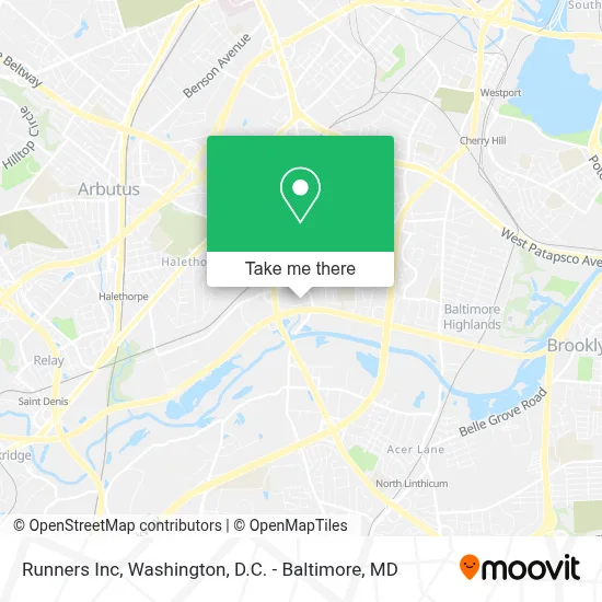
See Runners Inc, Baltimore County, on the map
Public Transit to Runners Inc in Baltimore County
Wondering how to get to Runners Inc in Baltimore County? Moovit helps you find the best way to get to Runners Inc with step-by-step directions from the nearest public transit station.
Moovit provides free maps and live directions to help you navigate through your city. View schedules, routes, timetables, and find out how long does it take to get to Runners Inc in real time.
Looking for the nearest stop or station to Runners Inc? Check out this list of stops closest to your destination: Nursery Road; 4367 Hollins Ferry Rd Eb; Halethorpe Marc Nb.
Bus: 75, CITYLINK YELLOW.Train: MARC.
Want to see if there’s another route that gets you there at an earlier time? Moovit helps you find alternative routes or times. Get directions from and directions to Runners Inc easily from the Moovit App or Website.
We make riding to Runners Inc easy, which is why over 1.7 million users, including users in Baltimore County, trust Moovit as the best app for public transit. You don’t need to download an individual bus app or train app, Moovit is your all-in-one transit app that helps you find the best bus time or train time available.
For information on prices of bus and light rail, costs and ride fares to Runners Inc, please check the Moovit app.
Use the app to navigate to popular places including to the airport, hospital, stadium, grocery store, mall, coffee shop, school, college, and university.
Runners Inc Address: 2324 Eskow Ave street in Baltimore County
- Address Our Mess,
- Bitcoin Depot,
- Amazon Locker - Bluff,
- Sunoco Gas Station,
- Geetha Raja, Md,
- Jacqueline E Ambush Np,
- The Play Station Learning Center,
- 3rd Eye Surveillance, Llc.,
- Tss Investigations,
- I-695 @ Exit 9 (Hollins Ferry Rd),
- Life Fellowship Church,
- Advanced Fire Protection Systems,
- D L Boyd,
- F And B Electric,
- Fireline Corporation, Powered by Encore Fire Protection,
- Vac Llc,
- Ferguson Hvac Supply,
- MC Dowell's Chimney Complete,
- Ymca Headstart,
- Pipe Trade Technologies
Places Near Runners Inc (Baltimore County)
- Museum Of The Bible, Washington,
- Georgetown, Washington,
- Basilica of the National Shrine, Washington,
- Marriott Marquis Washington, DC, Washington,
- The Anthem, Washington,
- Camden Yards, Baltimore,
- National Zoo, Washington,
- National Theatre, Washington,
- PG Mall, Prince George's County,
- Sibley Memorial Hospital, Washington,
- Amazon Hq2, Arlington County,
- National Museum of African American History and Culture, Washington,
- Pennsylvania Ave NW (3rd st and pennsylvania), Washington,
- Warner Theatre, Washington,
- Washington National Cathedral, Washington,
- M&T Bank Stadium, Baltimore,
- Washington DC VA Medical Center, Washington,
- Westfield Montgomery Mall, Montgomery County,
- Rock Creek Tennis Center, Washington,
- Capital One Arena, Washington
How to get to popular places in Washington, D.C. - Baltimore, MD with public transit
Get around Baltimore County by public transit!
Traveling around Baltimore County has never been so easy. See step by step directions as you travel to any attraction, street or major public transit station. View bus and train schedules, arrival times, service alerts and detailed routes on a map, so you know exactly how to get to anywhere in Baltimore County.
When traveling to any destination around Baltimore County use Moovit's Live Directions with Get Off Notifications to know exactly where and how far to walk, how long to wait for your line, and how many stops are left. Moovit will alert you when it's time to get off — no need to constantly re-check whether yours is the next stop.
Wondering how to use public transit in Baltimore County or how to pay for public transit in Baltimore County? Moovit public transit app can help you navigate your way with public transit easily, and at minimum cost. It includes public transit fees, ticket prices, and costs. Looking for a map of Baltimore County public transit lines? Moovit public transit app shows all public transit maps in Baltimore County with all Bus, Train, Metro, Light Rail and Ferry routes and stops on an interactive map.
Washington, D.C. - Baltimore, MD has 5 transit type(s), including: Bus, Train, Metro, Light Rail and Ferry, operated by several transit agencies, including WMATA, Montgomery County Ride On, Fairfax Connector, TheBus, PRTC, DASH - Alexandria, Arlington Transit (ART), RTA of Central Maryland, MDOT MTA, MDOT MTA Light RailLink, MDOT MTA Commuter Bus, MDOT MTA Local Bus, FXBGO!, Virginia Railway Express (VRE) and MARC