Rust St/58 Rd stop - Sunday schedule
| Line | Direction | Time |
|---|---|---|
| Q39 | Queens Plaza | 6:17 AM |
| Q39 | Queens Plaza | 6:47 AM |
| Q39 | Queens Plaza | 7:17 AM |
| Q39 | Queens Plaza | 7:47 AM |
| Q39 | Queens Plaza | 8:17 AM |
| Q39 | Queens Plaza | 8:47 AM |
| Q39 | Queens Plaza | 9:17 AM |
| Q39 | Queens Plaza | 9:47 AM |
| Q39 | Queens Plaza | 10:17 AM |
| Q39 | Queens Plaza | 10:47 AM |
| Q39 | Queens Plaza | 11:17 AM |
| Q39 | Queens Plaza | 11:47 AM |
| Q39 | Queens Plaza | 12:17 PM |
| Q39 | Queens Plaza | 12:47 PM |
| Q39 | Queens Plaza | 1:17 PM |
| Q39 | Queens Plaza | 1:47 PM |
| Q39 | Queens Plaza | 2:17 PM |
| Q39 | Queens Plaza | 2:47 PM |
| Q39 | Queens Plaza | 3:17 PM |
| Q39 | Queens Plaza | 3:47 PM |
| Q39 | Queens Plaza | 4:17 PM |
| Q39 | Queens Plaza | 4:47 PM |
| Q39 | Queens Plaza | 5:17 PM |
| Q39 | Queens Plaza | 5:47 PM |
| Q39 | Queens Plaza | 6:17 PM |
Directions to Rust St/58 Rd stop (Queens) with public transit
The following transit lines have routes that pass near Rust St/58 Rd
 Bus: Q39, Q59, B57.
- Train: FAR ROCKAWAY BRANCH, PORT WASHINGTON BRANCH, WEST HEMPSTEAD BRANCH.
- Subway: L, M.
How to get to Rust St/58 Rd stop by bus?
Click on the bus route to see step by step directions with maps, line arrival times and updated time schedules.
How to get to Rust St/58 Rd stop by train?
Click on the train route to see step by step directions with maps, line arrival times and updated time schedules.
How to get to Rust St/58 Rd stop by subway?
Click on the subway route to see step by step directions with maps, line arrival times and updated time schedules.
Bus stops near Rust St/58 Rd stop in Queens
- Grand Av/Rust St, 1 min walk,
- Flushing Av/58 Dr, 8 min walk,
Subway stations near Rust St/58 Rd station in Queens
- Jefferson St, 26 min walk,
- Forest Av, 27 min walk,
Bus lines to Rust St/58 Rd stop in Queens
- Q59, Queens Blvd 62 Dr Via Grand,
- Q39, Glendale,
- B57, Red Hook Ikea,
What are the closest stations to Rust St/58 Rd?
The closest stations to Rust St/58 Rd are:
- Grand Av/Rust St stop is 73 yards away, 1 min walk.
- Flushing Av/58 Dr stop is 688 yards away, 8 min walk.
- Jefferson St station is 2207 yards away, 26 min walk.
- Forest Av station is 2336 yards away, 27 min walk.
Which bus lines stop near Rust St/58 Rd?
These bus lines stop near Rust St/58 Rd: Q39, Q59.
Which train lines stop near Rust St/58 Rd?
These train lines stop near Rust St/58 Rd: FAR ROCKAWAY BRANCH, PORT WASHINGTON BRANCH, WEST HEMPSTEAD BRANCH.
Which subway lines stop near Rust St/58 Rd?
These subway lines stop near Rust St/58 Rd: L, M.
What’s the nearest subway station to Rust St/58 Rd in Queens?
The nearest subway station to Rust St/58 Rd in Queens is Jefferson St. It’s a 26 min walk away.
What’s the nearest bus station to Rust St/58 Rd in Queens?
The nearest bus station to Rust St/58 Rd in Queens is Grand Av/Rust St. It’s a 1 min walk away.
What time is the first subway to Rust St/58 Rd in Queens?
The L is the first subway that goes to Rust St/58 Rd in Queens. It stops nearby at 3:03 AM.
What time is the last subway to Rust St/58 Rd in Queens?
The L is the last subway that goes to Rust St/58 Rd in Queens. It stops nearby at 3:12 AM.
What time is the first bus to Rust St/58 Rd in Queens?
The Q39 is the first bus that goes to Rust St/58 Rd in Queens. It stops nearby at 3:06 AM.
What time is the last bus to Rust St/58 Rd in Queens?
The Q39 is the last bus that goes to Rust St/58 Rd in Queens. It stops nearby at 3:08 AM.
Rust St/58 Rd station
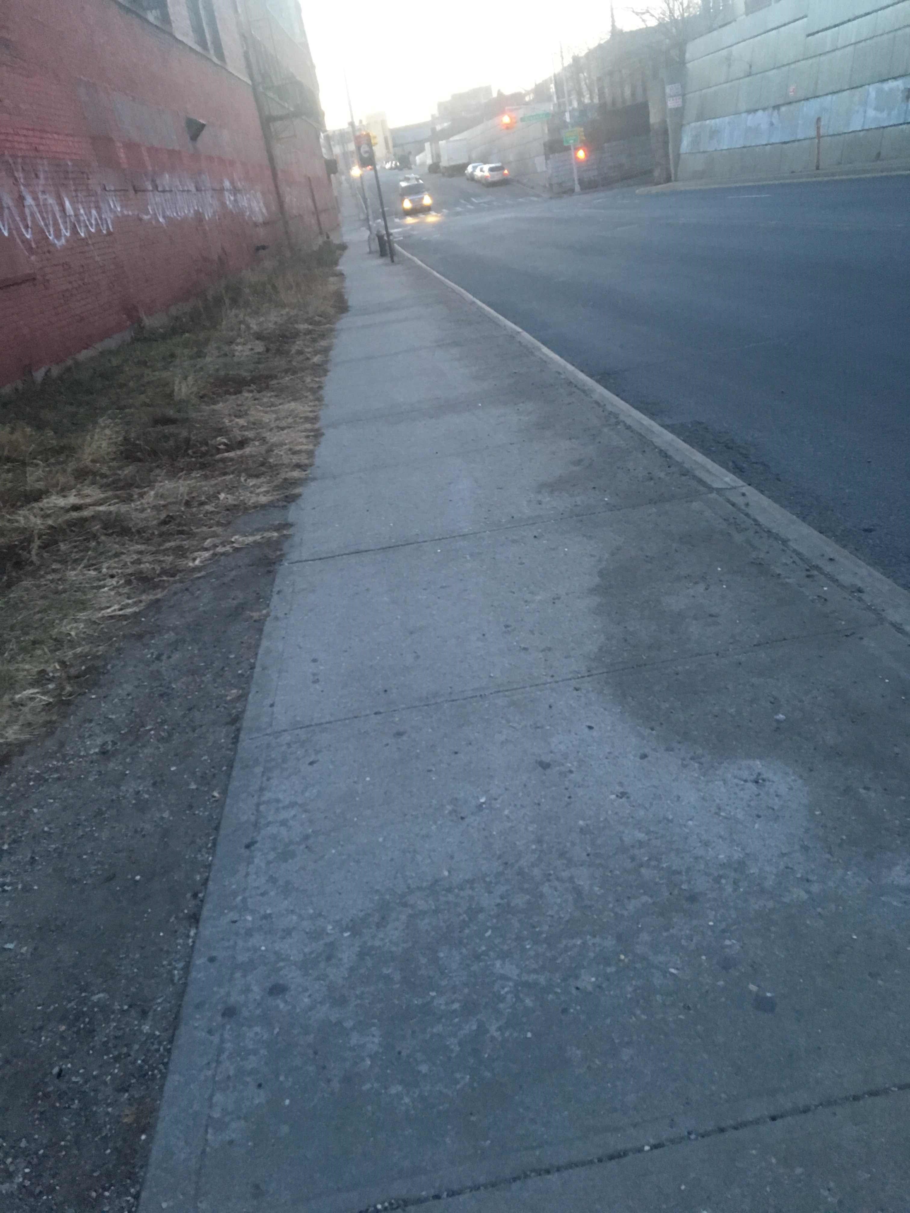 Taken by Ashley D.
See Rust St/58 Rd stop, Queens, on the map
Public transit to Rust St/58 Rd stop in Queens
Looking for directions to Rust St/58 Rd in Queens, United States?
Download the Moovit App to find the current schedule and step-by-step directions for Bus, Subway or Train routes that pass through Rust St/58 Rd.
Looking for the nearest stops closest to Rust St/58 Rd ? Check out this list of closest stops to your destination: Grand Av/Rust St; Flushing Av/58 Dr; Jefferson St; Forest Av.
Bus: Q39, Q59, B57.Train: FAR ROCKAWAY BRANCH, PORT WASHINGTON BRANCH, WEST HEMPSTEAD BRANCH.Subway: L, M.
We make riding on public transit to Rust St/58 Rd easy, which is why over 1.7 billion users, including users in Queens trust Moovit as the best app for public transit.
Use the app to navigate to popular places including to the airport, hospital, stadium, grocery store, mall, coffee shop, school, college, and university.
The first line to this stop is Q39, at 6:17 AM, and the last line is Q39 at 5:59 AM.
This stop serves MTA Bus’s lines
- Grand Av/Rust St,
- Flushing Av/58 Dr
Bus stops near Rust St/58 Rd stop
- Jefferson St,
- Forest Av
Subway stations near Rust St/58 Rd station
- Broadway/Cortlandt St,
- Northern Blvd,
- Flatbush Av/Lincoln Rd,
- Vanderbilt Av/Pacific St,
- 34 St-Herald Sq,
- Wassaic,
- Boulevard at Rt-4 (Broadway),
- Fort Lee Rd at Broad Ave,
- Central Av / Merrick,
- Wantagh,
- E 167 St/Grand Concourse,
- Ralph Av,
- Kew Gardens-Union Tpke,
- Little Neck,
- Sterling St,
- Adriatic Ave at Delta Ave,
- Greenvale LIRR Station,
- Morris Park,
- Lemoine Ave at Bridge Plaza S,
- 4 Av/Dean St
Popular public transit stations in Queens
Get around Queens by public transit!
Traveling around Queens has never been so easy. See step by step directions as you travel to any attraction, street or major public transit station. View bus and train schedules, arrival times, service alerts and detailed routes on a map, so you know exactly how to get to anywhere in Queens.
When traveling to any destination around Queens use Moovit's Live Directions with Get Off Notifications to know exactly where and how far to walk, how long to wait for your line, and how many stops are left. Moovit will alert you when it's time to get off — no need to constantly re-check whether yours is the next stop.
Wondering how to use public transit in Queens or how to pay for public transit in Queens? Moovit public transit app can help you navigate your way with public transit easily, and at minimum cost. It includes public transit fees, ticket prices, and costs. Looking for a map of Queens public transit lines? Moovit public transit app shows all public transit maps in Queens with all Bus, Train, Subway, Light Rail, Ferry and Cable Car routes and stops on an interactive map.
New York - New Jersey has 6 transit type(s), including: Bus, Train, Subway, Light Rail, Ferry and Cable Car, operated by several transit agencies, including MTA Subway, Metro-North Railroad, LIRR, PATH, MTA New York City Transit - Express routes, MTA Bus, NJ Transit, NYC Ferry, NICE bus, Bee-Line Bus, NJ Transit Rail, Norwalk Transit District, CTTransit - Waterbury-Meriden, Hartford Line and River Valley Transit