How to get to Ruta de la Casquería by bus?
Click on the bus route to see step by step directions with maps, line arrival times and updated time schedules.
From Playa del Alberche, Aldea Del Fresno
271 minFrom Universidad Camilo José Cela (UCJC), Villanueva De La Cañada
74 minFrom Embalse de San Juan, San Martín De Valdeiglesias
146 minFrom Parque Coimbra, Área Metropolitana De Madrid Y Corredor Del Henares
258 minFrom Hospital Virgen De La Poveda, Villa Del Prado
290 minFrom Villaviciosa de Odón, Villaviciosa De Odón
82 minFrom Universidad Alfonso X El Sabio (UAX), Villanueva De La Cañada
88 minFrom Universidad Europea De Madrid, Área Metropolitana De Madrid Y Corredor Del Henares
129 min
Bus stops near Ruta de la Casquería in Colmenar Del Arroyo
- Pza. España - Artistas, 6 min walk,VIEW
Bus lines to Ruta de la Casquería in Colmenar Del Arroyo
What are the closest stations to Ruta de la Casquería?
The closest stations to Ruta de la Casquería are:
- Pza. España - Artistas is 439 meters away, 6 min walk.
Which bus line stops near Ruta de la Casquería?
642 (San Roque - Ctra. M510)
What’s the nearest bus station to Ruta de la Casquería in Colmenar Del Arroyo?
The nearest bus station to Ruta de la Casquería in Colmenar Del Arroyo is Pza. España - Artistas. It’s a 6 min walk away.
What time is the first bus to Ruta de la Casquería in Colmenar Del Arroyo?
The 642 is the first bus that goes to Ruta de la Casquería in Colmenar Del Arroyo. It stops nearby at 6:20 AM.
What time is the last bus to Ruta de la Casquería in Colmenar Del Arroyo?
The 642 is the last bus that goes to Ruta de la Casquería in Colmenar Del Arroyo. It stops nearby at 1:03 AM.
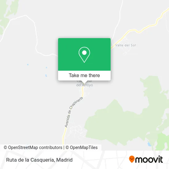
See Ruta de la Casquería, Colmenar Del Arroyo, on the map
Public Transit to Ruta de la Casquería in Colmenar Del Arroyo
Wondering how to get to Ruta de la Casquería in Colmenar Del Arroyo? Moovit helps you find the best way to get to Ruta de la Casquería with step-by-step directions from the nearest public transit station.
Moovit provides free maps and live directions to help you navigate through your city. View schedules, routes, timetables, and find out how long does it take to get to Ruta de la Casquería in real time.
Looking for the nearest stop or station to Ruta de la Casquería? Check out this list of stops closest to your destination: Pza. España - Artistas.
Bus: 642, 551, N908.
Want to see if there’s another route that gets you there at an earlier time? Moovit helps you find alternative routes or times. Get directions from and directions to Ruta de la Casquería easily from the Moovit App or Website.
We make riding to Ruta de la Casquería easy, which is why over 1.5 million users, including users in Colmenar Del Arroyo, trust Moovit as the best app for public transit. You don’t need to download an individual bus app or train app, Moovit is your all-in-one transit app that helps you find the best bus time or train time available.
For information on prices of bus and metro, costs and ride fares to Ruta de la Casquería, please check the Moovit app.
Use the app to navigate to popular places including to the airport, hospital, stadium, grocery store, mall, coffee shop, school, college, and university.
Ruta de la Casquería Address: Calle San Juan, 3 28213 Colmenar del Arroyo street in Colmenar Del Arroyo
- Acirate Vinos,
- Casamiropizzeria,
- Revestimientos Plasticos Plaswall,
- IES Ángel Corella,
- Perfiles de Pvc de Extrusión,
- Centro Canino Entrenci,
- Anuska Bolsos,
- Taxi Licencia Nc 14342,
- Centro Deportivo Cultu,
- Ayuntamiento de Colmen,
- Posada La Charola,
- Slogan Ocio,
- Urbanización Olivar de la Morena 44,
- Gastronomía Mo,
- La Colmena de Triana,
- Gerencia Asistencial de Atención Primaria,
- Fruteria Pescaderia Ma,
- Gestión Inmobiliaria Open House,
- Carretera de Chapinería, 3,
- Carne de la Finca
Places Near Ruta de la Casquería (Colmenar Del Arroyo)
- Rastro De Madrid, Área Metropolitana De Madrid Y Corredor Del Henares,
- Plaza Mayor, Madrid,
- Centro Comercial Islazul, Área Metropolitana De Madrid Y Corredor Del Henares,
- Hospital Universitario Ramón y Cajal, Madrid,
- Sala La Riviera, Madrid,
- Calle de López de Hoyos 169, Madrid,
- Hospital Clínico Universitario San Carlos, Madrid,
- Mendez Alvaro, Madrid,
- Nassica, Área Metropolitana De Madrid Y Corredor Del Henares,
- Estadio Wanda Metropolitano, Área Metropolitana De Madrid Y Corredor Del Henares,
- Hospital Universitario La Paz, Madrid,
- Mercadillo de Majadahonda, Majadahonda,
- Centro Comercial La Vaguada, Área Metropolitana De Madrid Y Corredor Del Henares,
- Plenilunio, Área Metropolitana De Madrid Y Corredor Del Henares,
- Centro Comercial La Gavia, Área Metropolitana De Madrid Y Corredor Del Henares,
- Centro Comercial Oasiz Madrid, Área Metropolitana De Madrid Y Corredor Del Henares,
- Estacion de Chamartin, Madrid,
- Palacio De Vistalegre, Área Metropolitana De Madrid Y Corredor Del Henares,
- Tres Aguas, Alcorcón,
- Wizink Center, Madrid
How to get to popular places in Madrid with public transit
Get around Colmenar Del Arroyo by public transit!
Traveling around Colmenar Del Arroyo has never been so easy. See step by step directions as you travel to any attraction, street or major public transit station. View bus and train schedules, arrival times, service alerts and detailed routes on a map, so you know exactly how to get to anywhere in Colmenar Del Arroyo.
When traveling to any destination around Colmenar Del Arroyo use Moovit's Live Directions with Get Off Notifications to know exactly where and how far to walk, how long to wait for your line, and how many stops are left. Moovit will alert you when it's time to get off — no need to constantly re-check whether yours is the next stop.
Wondering how to use public transit in Colmenar Del Arroyo or how to pay for public transit in Colmenar Del Arroyo? Moovit public transit app can help you navigate your way with public transit easily, and at minimum cost. It includes public transit fees, ticket prices, and costs. Looking for a map of Colmenar Del Arroyo public transit lines? Moovit public transit app shows all public transit maps in Colmenar Del Arroyo with all Bus, Train, Metro and Light Rail routes and stops on an interactive map.
Madrid has 4 transit type(s), including: Bus, Train, Metro and Light Rail, operated by several transit agencies, including Metro de Madrid, Metro Ligero, Tranvía de Parla, Renfe Cercanías - Servicios de Autobús especiales, Renfe Cercanias, Renfe Cercanías, EMT, Interurbanos, Urbanos de Alcalá de Henares, Urbanos de Alcobendas, Urbanos de Alcorcón, Urbanos de Algete, Urbanos de Aranjuez, Urbanos de Arganda del Rey and Urbanos de Arroyomolinos