Directions to Rutgers Addiction Research Center (Piscataway) with public transportation
The following transit lines have routes that pass near Rutgers Addiction Research Center
 Bus: 811.
- Train: CAROLINIAN, KEYSTONE SERVICE, NORTHEAST REGIONAL, NC.
How to get to Rutgers Addiction Research Center by bus?
Click on the bus route to see step by step directions with maps, line arrival times and updated time schedules.
Train station near Rutgers Addiction Research Center in Piscataway
- New Brunswick, 35 min walk,VIEW
What are the closest stations to Rutgers Addiction Research Center?
The closest stations to Rutgers Addiction Research Center are:
- New Brunswick is 2970 yards away, 35 min walk.
Which bus line stops near Rutgers Addiction Research Center?
811 (New Brunswick)
What time is the first train to Rutgers Addiction Research Center in Piscataway?
The NC is the first train that goes to Rutgers Addiction Research Center in Piscataway. It stops nearby at 4:13 AM.
What time is the last train to Rutgers Addiction Research Center in Piscataway?
The NC is the last train that goes to Rutgers Addiction Research Center in Piscataway. It stops nearby at 2:21 AM.
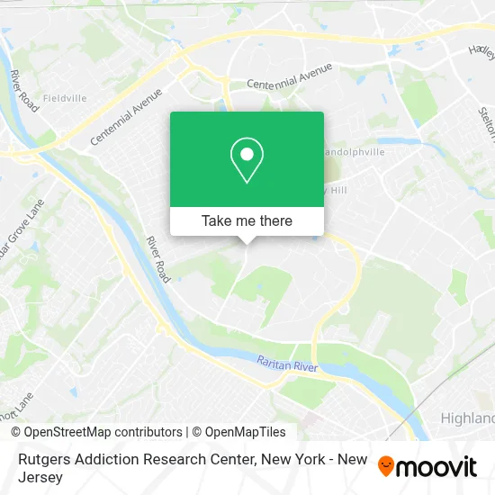
See Rutgers Addiction Research Center, Piscataway, on the map
Public Transit to Rutgers Addiction Research Center in Piscataway
Wondering how to get to Rutgers Addiction Research Center in Piscataway? Moovit helps you find the best way to get to Rutgers Addiction Research Center with step-by-step directions from the nearest public transit station.
Moovit provides free maps and live directions to help you navigate through your city. View schedules, routes, timetables, and find out how long does it take to get to Rutgers Addiction Research Center in real time.
Looking for the nearest stop or station to Rutgers Addiction Research Center? Check out this list of stops closest to your destination: New Brunswick.
Bus: 811.Train: CAROLINIAN, KEYSTONE SERVICE, NORTHEAST REGIONAL, NC.
Want to see if there’s another route that gets you there at an earlier time? Moovit helps you find alternative routes or times. Get directions from and directions to Rutgers Addiction Research Center easily from the Moovit App or Website.
We make riding to Rutgers Addiction Research Center easy, which is why over 1.5 million users, including users in Piscataway, trust Moovit as the best app for public transit. You don’t need to download an individual bus app or train app, Moovit is your all-in-one transit app that helps you find the best bus time or train time available.
For information on prices of bus and train, costs and ride fares to Rutgers Addiction Research Center, please check the Moovit app.
Use the app to navigate to popular places including to the airport, hospital, stadium, grocery store, mall, coffee shop, school, college, and university.
Rutgers Addiction Research Center Address: 671 Hoes Ln W street in Piscataway
- Bank Of America Atm,
- Linda Kost,
- Rutgers Therapeutic Day School,
- Matthew Menza Md,
- Cmnty Mntl Hlth Ctr at Piscataway Univ Bhvrl Healthc,
- Umdnj - Acute Psychiatric Service,
- Nj4s Middlesex County,
- Rutgers Bhs Piscataway,
- Physician Assistant Program,
- School Of Public Health,
- Bank Of America Atm,
- Bank Of America Walk-Up Atm | Rutgers University - Piscataway,
- Rutgers Brain Health Institute,
- Woodys Cafe,
- University Of Medicine & Dentistry Of New Jersey,
- Rwjms American Medical Student Association,
- Daniel I. Kessler Teaching Laboratories,
- Rwj Medical School Busch Campus Rutgers University,
- World Trade Center Health Program at Rutgers,
- Library Of Science & Medicine, Science Libraries- Rutgers University
Places Near Rutgers Addiction Research Center (Piscataway)
- Rockefeller Center, Manhattan,
- Chinatown, Manhattan,
- Katz's Deli, Manhattan,
- 1 Police Plaza, Manhattan,
- 376 Hudson Street, Manhattan,
- 111 Centre New York City Supreme Court, Manhattan,
- San Gennaro Feast, Manhattan,
- Hudson Yards, Manhattan,
- 911 Memorial, Manhattan,
- Bellevue Hospital, Manhattan,
- qqqq, Manhattan,
- 66 John Street, Manhattan,
- Times Square, Manhattan,
- 26 Federal Plaza, Manhattan,
- Wall Street, Manhattan,
- Pier 83, Manhattan,
- Queens Center Mall, Queens,
- 3 Stone St, Manhattan,
- Mountainside Hospital, Glen Ridge,
- SoHo, Manhattan
How to get to popular places in New York - New Jersey with public transit
Get around Piscataway by public transit!
Traveling around Piscataway has never been so easy. See step by step directions as you travel to any attraction, street or major public transit station. View bus and train schedules, arrival times, service alerts and detailed routes on a map, so you know exactly how to get to anywhere in Piscataway.
When traveling to any destination around Piscataway use Moovit's Live Directions with Get Off Notifications to know exactly where and how far to walk, how long to wait for your line, and how many stops are left. Moovit will alert you when it's time to get off — no need to constantly re-check whether yours is the next stop.
Wondering how to use public transit in Piscataway or how to pay for public transit in Piscataway? Moovit public transit app can help you navigate your way with public transit easily, and at minimum cost. It includes public transit fees, ticket prices, and costs. Looking for a map of Piscataway public transit lines? Moovit public transit app shows all public transit maps in Piscataway with all Bus, Train, Subway, Light Rail, Ferry and Cable Car routes and stops on an interactive map.
New York - New Jersey has 6 transit type(s), including: Bus, Train, Subway, Light Rail, Ferry and Cable Car, operated by several transit agencies, including MTA Subway, Metro-North Railroad, LIRR, PATH, MTA New York City Transit - Express routes, MTA Bus, NJ Transit, NYC Ferry, NICE bus, Bee-Line Bus, NJ Transit Rail, Norwalk Transit District, Hartford Line, River Valley Transit and HART