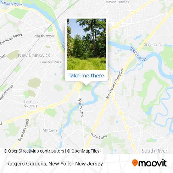
Directions to Rutgers Gardens (North Brunswick, Nj) with public transportation
The following transit lines have routes that pass near Rutgers Gardens
 Bus: 138, 814, 815, 818.
- Train: CAROLINIAN, KEYSTONE SERVICE, NORTHEAST REGIONAL, NC.
How to get to Rutgers Gardens by bus?
Click on the bus route to see step by step directions with maps, line arrival times and updated time schedules.
From The Dead Rabbit, Manhattan
144 minFrom Newark Liberty International Airport (EWR), Newark, Nj
157 minFrom Freehold Raceway Mall, Freehold Township
103 minFrom Jose Tejas, Woodbridge, Nj
132 minFrom Virgin America Ticket Counter, Elizabeth, Nj
155 minFrom New Jersey Turnpike - Newark, Newark, Nj
200 min
Train station near Rutgers Gardens in North Brunswick, Nj
- New Brunswick, 57 min walk,VIEW
What are the closest stations to Rutgers Gardens?
The closest stations to Rutgers Gardens are:
- New Brunswick is 4835 yards away, 57 min walk.
Which bus lines stop near Rutgers Gardens?
These bus lines stop near Rutgers Gardens: 138, 814, 815, 818.
What time is the first train to Rutgers Gardens in North Brunswick, Nj?
The NC is the first train that goes to Rutgers Gardens in North Brunswick, Nj. It stops nearby at 4:13 AM.
What time is the last train to Rutgers Gardens in North Brunswick, Nj?
The NC is the last train that goes to Rutgers Gardens in North Brunswick, Nj. It stops nearby at 2:21 AM.
How much is the subway fare to Rutgers Gardens?
The subway fare to Rutgers Gardens costs about $2.90.
How much is the rail fare to Rutgers Gardens?
The rail fare to Rutgers Gardens costs about $2.25 - $16.75.
How much is the bus fare to Rutgers Gardens?
The bus fare to Rutgers Gardens costs about $7.00.
See Rutgers Gardens, North Brunswick, Nj, on the map
Public Transit to Rutgers Gardens in North Brunswick, Nj
Wondering how to get to Rutgers Gardens in North Brunswick, Nj? Moovit helps you find the best way to get to Rutgers Gardens with step-by-step directions from the nearest public transit station.
Moovit provides free maps and live directions to help you navigate through your city. View schedules, routes, timetables, and find out how long does it take to get to Rutgers Gardens in real time.
Looking for the nearest stop or station to Rutgers Gardens? Check out this list of stops closest to your destination: New Brunswick.
Bus: 138, 814, 815, 818.Train: CAROLINIAN, KEYSTONE SERVICE, NORTHEAST REGIONAL, NC.
Want to see if there’s another route that gets you there at an earlier time? Moovit helps you find alternative routes or times. Get directions from and directions to Rutgers Gardens easily from the Moovit App or Website.
We make riding to Rutgers Gardens easy, which is why over 1.5 million users, including users in North Brunswick, Nj, trust Moovit as the best app for public transit. You don’t need to download an individual bus app or train app, Moovit is your all-in-one transit app that helps you find the best bus time or train time available.
For information on prices of bus, train and subway, costs and ride fares to Rutgers Gardens, please check the Moovit app.
Use the app to navigate to popular places including to the airport, hospital, stadium, grocery store, mall, coffee shop, school, college, and university.
Rutgers Gardens Address: Log Cabin Road street in North Brunswick, Nj

- Westons Mill Pond,
- Helyar Woods,
- Rutgers Labor Education Center,
- Budget Truck Rental,
- Justin O Wong Od,
- Sears Parking Lot,
- Starkey Apartments,
- Starkey Apartments,
- Bank of America,
- Sears Auto Center,
- Ace Home Remodeling,
- Henderson,
- 9816 Cpo Way,
- Sheepfold Lane,
- Tov Manor Apartments,
- 118 College Farm Rd,
- Rwjbarnabas Health,
- NJ DOT College Farm,
- Center for American Women and Politics,
- Rutgers
Places Near Rutgers Gardens (North Brunswick, Nj)
- 3 Stone St, Manhattan,
- Rockefeller Center, Manhattan,
- 26 Federal Plaza, Manhattan,
- Mountainside Hospital, Glen Ridge,
- San Gennaro Feast, Manhattan,
- Chinatown, Manhattan,
- Times Square, Manhattan,
- 1 Police Plaza, Manhattan,
- Hudson Yards, Manhattan,
- Katz's Deli, Manhattan,
- Wall Street, Manhattan,
- 911 Memorial, Manhattan,
- 111 Centre New York City Supreme Court, Manhattan,
- qqqq, Manhattan,
- SoHo, Manhattan,
- Bellevue Hospital, Manhattan,
- 66 John Street, Manhattan,
- 376 Hudson Street, Manhattan,
- Pier 83, Manhattan,
- Queens Center Mall, Queens
How to get to popular places in New York - New Jersey with public transit
Get around North Brunswick, Nj by public transit!
Traveling around North Brunswick, Nj has never been so easy. See step by step directions as you travel to any attraction, street or major public transit station. View bus and train schedules, arrival times, service alerts and detailed routes on a map, so you know exactly how to get to anywhere in North Brunswick, Nj.
When traveling to any destination around North Brunswick, Nj use Moovit's Live Directions with Get Off Notifications to know exactly where and how far to walk, how long to wait for your line, and how many stops are left. Moovit will alert you when it's time to get off — no need to constantly re-check whether yours is the next stop.
Wondering how to use public transit in North Brunswick, Nj or how to pay for public transit in North Brunswick, Nj? Moovit public transit app can help you navigate your way with public transit easily, and at minimum cost. It includes public transit fees, ticket prices, and costs. Looking for a map of North Brunswick, Nj public transit lines? Moovit public transit app shows all public transit maps in North Brunswick, Nj with all Bus, Train, Subway, Light Rail, Ferry and Cable Car routes and stops on an interactive map.
New York - New Jersey has 6 transit type(s), including: Bus, Train, Subway, Light Rail, Ferry and Cable Car, operated by several transit agencies, including MTA Subway, Metro-North Railroad, LIRR, PATH, MTA New York City Transit - Express routes, MTA Bus, NJ Transit, NYC Ferry, NICE bus, Bee-Line Bus, NJ Transit Rail, Norwalk Transit District, Hartford Line, River Valley Transit and HART