How to get to Rutgers University - Newark by bus?
Click on the bus route to see step by step directions with maps, line arrival times and updated time schedules.
How to get to Rutgers University - Newark by train?
Click on the train route to see step by step directions with maps, line arrival times and updated time schedules.
Bus stops near Rutgers University - Newark
Light Rail stations near Rutgers University - Newark
- Warren Street Light Rail Station, 4 min walk,VIEW
Bus lines to Rutgers University - Newark
- 24, E Eliz Jrsy Gardens Via Scotland & Eliz Av,VIEW
- 44, Nwk Penn Station,VIEW
- 11, Newark - Willowbrook,VIEW
- 28, Newark - Montclair State - Willowbrook,VIEW
- 29, Bloomfield Avenue,VIEW
- 30, North Arlington-Kearny-Newark,VIEW
- 41, Park Avenue,VIEW
- 71, Newark - West Caldwell,VIEW
- 72, Paterson - Bloomfield - Newark,VIEW
- 73, Newark - Orange - Livingston,VIEW
- 76, Newark - Hackensack,VIEW
- 78, Newark - Secaucus,VIEW
- 108, New York Via Union City,VIEW
- 59, Newark H. Tubman Pk,VIEW
- 79, X Newark,VIEW
- 70, Newark Penn Station Via Vauxhall,VIEW
What are the closest stations to Rutgers University - Newark?
The closest stations to Rutgers University - Newark are:
- Central Ave at D.M.L. King Blvd is 175 yards away, 3 min walk.
- University Ave at Central Ave is 176 yards away, 3 min walk.
- Warren Street Light Rail Station is 277 yards away, 4 min walk.
- Central Ave at Washington St is 313 yards away, 4 min walk.
- Raymond Blvd at Washington St is 456 yards away, 6 min walk.
- Washington St at Raymond Blvd is 468 yards away, 6 min walk.
Which bus lines stop near Rutgers University - Newark?
These bus lines stop near Rutgers University - Newark: 1, 108, 24, 66, 73, 76.
Which train lines stop near Rutgers University - Newark?
These train lines stop near Rutgers University - Newark: NJCL, RED.
What’s the nearest light rail station to Rutgers University - Newark?
The nearest light rail station to Rutgers University - Newark is Warren Street Light Rail Station. It’s a 4 min walk away.
What’s the nearest bus station to Rutgers University - Newark?
The nearest bus stations to Rutgers University - Newark are Central Ave at D.M.L. King Blvd and University Ave at Central Ave. The closest one is a 3 min walk away.
What time is the first light rail to Rutgers University - Newark?
The NLR is the first light rail that goes to Rutgers University - Newark. It stops nearby at 4:26 AM.
What time is the last light rail to Rutgers University - Newark?
The NLR is the last light rail that goes to Rutgers University - Newark. It stops nearby at 1:19 AM.
What time is the first bus to Rutgers University - Newark?
The 29 is the first bus that goes to Rutgers University - Newark. It stops nearby at 4:55 AM.
What time is the last bus to Rutgers University - Newark?
The 108 is the last bus that goes to Rutgers University - Newark. It stops nearby at 1:55 AM.
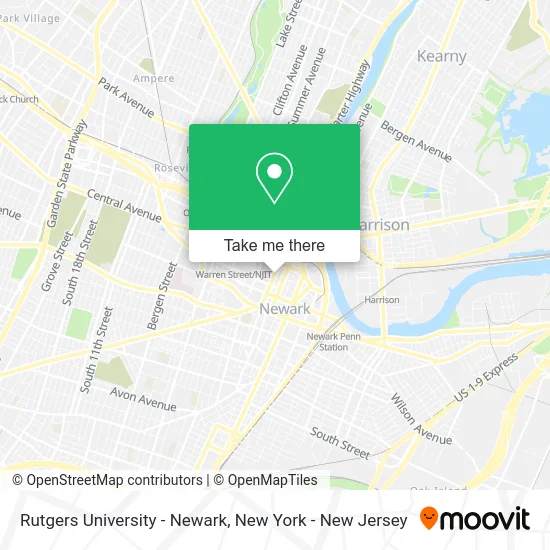
See Rutgers University - Newark on the map
Public Transportation to Rutgers University - Newark
Wondering how to get to Rutgers University - Newark? Moovit helps you find the best way to get to Rutgers University - Newark with step-by-step directions from the nearest public transit station.
Moovit provides free maps and live directions to help you navigate through your city. View schedules, routes, timetables, and find out how long does it take to get to Rutgers University - Newark in real time.
Looking for the nearest stop or station to Rutgers University - Newark? Check out this list of stops closest to your destination: Central Ave at D.M.L. King Blvd; University Ave at Central Ave; Warren Street Light Rail Station; Central Ave at Washington St; Raymond Blvd at Washington St; Washington St at Raymond Blvd.
Bus: 1, 108, 24, 66, 73, 76, 44, 11, 28, 29, 30, 41, 59, 79, 70.Train: NJCL, RED.
Want to see if there’s another route that gets you there at an earlier time? Moovit helps you find alternative routes or times. Get directions from and directions to Rutgers University - Newark easily from the Moovit App or Website.
We make riding to Rutgers University - Newark easy, which is why over 1.5 million users, including users in Newark, trust Moovit as the best app for public transit. You don’t need to download an individual bus app or train app, Moovit is your all-in-one transit app that helps you find the best bus time or train time available.
For information on prices of bus, train and light rail, costs and ride fares to Rutgers University - Newark, please check the Moovit app.
Use the app to navigate to popular places including to the airport, hospital, stadium, grocery store, mall, coffee shop, school, college, and university.
Rutgers University - Newark Address: University Ave. street in Newark
- Cafe Central,
- The Honors College at Rutgers University - Newark,
- Zenflow Garage Door Services,
- New Jersey Collaborating Center For Nursing,
- Newark, Ackerson Hall,
- New Jersey Institute Of Tech,
- Croom Web Design,
- Lpr,
- Rutgers School Of Nursing Educational Opportunity Fund,
- Rutgers Newark Writing Center,
- Federated Department Of History at Rutgers University-Newark and Njit,
- University Police H.Q,
- Rutgers School Of Public Affairs and Administration - Spaa,
- Npsc,
- The Rutgers Center For Corporate Law and Governance,
- Local Stack Fix,
- Cole Neurocognition Lab,
- Rutgers Federal Tax Law Clinic,
- Rutgers Law School,
- Rutgers Law School Newark, Center For Career Development
Places Near Rutgers University - Newark
- San Gennaro Feast, Manhattan,
- 3 Stone St, Manhattan,
- 111 Centre New York City Supreme Court, Manhattan,
- Wall Street, Manhattan,
- 1 Police Plaza, Manhattan,
- Chinatown, Manhattan,
- 911 Memorial, Manhattan,
- Times Square, Manhattan,
- Bellevue Hospital, Manhattan,
- 66 John Street, Manhattan,
- qqqq, Manhattan,
- 26 Federal Plaza, Manhattan,
- Katz's Deli, Manhattan,
- Hudson Yards, Manhattan,
- 376 Hudson Street, Manhattan,
- Pier 83, Manhattan,
- SoHo, Manhattan,
- Queens Center Mall, Queens,
- Rockefeller Center, Manhattan,
- Mountainside Hospital, Glen Ridge
How to get to popular places in New York - New Jersey with public transit
Get around Newark by public transit!
Traveling around Newark has never been so easy. See step by step directions as you travel to any attraction, street or major public transit station. View bus and train schedules, arrival times, service alerts and detailed routes on a map, so you know exactly how to get to anywhere in Newark.
When traveling to any destination around Newark use Moovit's Live Directions with Get Off Notifications to know exactly where and how far to walk, how long to wait for your line, and how many stops are left. Moovit will alert you when it's time to get off — no need to constantly re-check whether yours is the next stop.
Wondering how to use public transit in Newark or how to pay for public transit in Newark? Moovit public transit app can help you navigate your way with public transit easily, and at minimum cost. It includes public transit fees, ticket prices, and costs. Looking for a map of Newark public transit lines? Moovit public transit app shows all public transit maps in Newark with all Bus, Train, Subway, Light Rail, Ferry and Cable Car routes and stops on an interactive map.
New York - New Jersey has 6 transit type(s), including: Bus, Train, Subway, Light Rail, Ferry and Cable Car, operated by several transit agencies, including MTA Subway, Metro-North Railroad, LIRR, PATH, MTA New York City Transit - Express routes, MTA Bus, NJ Transit, NYC Ferry, NICE bus, Bee-Line Bus, NJ Transit Rail, Norwalk Transit District, Hartford Line, River Valley Transit and HART