How to get to Rutt's Hut by bus?
Click on the bus route to see step by step directions with maps, line arrival times and updated time schedules.
From Paterson, NJ, Paterson
40 minFrom Medieval Times Dinner & Tournament, Lyndhurst
48 minFrom Riverside Square Mall, Hackensack
50 minFrom Walmart Supercenter, Secaucus
68 minFrom Teaneck, NJ, Teaneck
65 minFrom Mountainside Hospital, Glen Ridge
50 minFrom Walmart, Secaucus
68 minFrom Walmart, North Bergen
94 minFrom Secaucus, NJ, Secaucus
55 minFrom Bergen Community College, Paramus
54 min
How to get to Rutt's Hut by train?
Click on the train route to see step by step directions with maps, line arrival times and updated time schedules.
Bus stops near Rutt's Hut in Garfield
Train station near Rutt's Hut in Garfield
- Passaic, 13 min walk,VIEW
Bus lines to Rutt's Hut in Garfield
What are the closest stations to Rutt's Hut?
The closest stations to Rutt's Hut are:
- Palisade Ave at Van Winkle Ave is 379 yards away, 5 min walk.
- Dayton Ave at Sherman St is 684 yards away, 8 min walk.
- Monroe St at Palisade Ave is 743 yards away, 9 min walk.
- Passaic is 1042 yards away, 13 min walk.
Which bus lines stop near Rutt's Hut?
These bus lines stop near Rutt's Hut: 160, 702, 709, 744, 758, 780.
Which train line stops near Rutt's Hut?
MCL (Hoboken)
What’s the nearest train station to Rutt's Hut in Garfield?
The nearest train station to Rutt's Hut in Garfield is Passaic. It’s a 13 min walk away.
What’s the nearest bus station to Rutt's Hut in Garfield?
The nearest bus station to Rutt's Hut in Garfield is Palisade Ave at Van Winkle Ave. It’s a 5 min walk away.
What time is the first train to Rutt's Hut in Garfield?
The MCL is the first train that goes to Rutt's Hut in Garfield. It stops nearby at 5:30 AM.
What time is the last train to Rutt's Hut in Garfield?
The MCL is the last train that goes to Rutt's Hut in Garfield. It stops nearby at 1:59 AM.
What time is the first bus to Rutt's Hut in Garfield?
The 160 is the first bus that goes to Rutt's Hut in Garfield. It stops nearby at 5:14 AM.
What time is the last bus to Rutt's Hut in Garfield?
The 160 is the last bus that goes to Rutt's Hut in Garfield. It stops nearby at 12:36 AM.
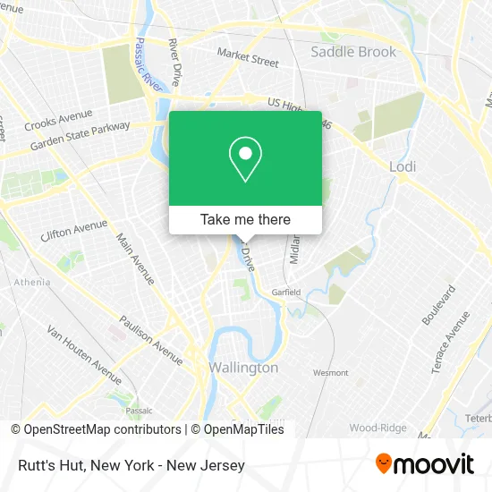
See Rutt's Hut, Garfield, on the map
Public Transit to Rutt's Hut in Garfield
Wondering how to get to Rutt's Hut in Garfield? Moovit helps you find the best way to get to Rutt's Hut with step-by-step directions from the nearest public transit station.
Moovit provides free maps and live directions to help you navigate through your city. View schedules, routes, timetables, and find out how long does it take to get to Rutt's Hut in real time.
Looking for the nearest stop or station to Rutt's Hut? Check out this list of stops closest to your destination: Palisade Ave at Van Winkle Ave; Dayton Ave at Sherman St; Monroe St at Palisade Ave; Passaic.
Bus: 160, 702, 709, 744, 758, 780.Train: MCL, PJL.
Want to see if there’s another route that gets you there at an earlier time? Moovit helps you find alternative routes or times. Get directions from and directions to Rutt's Hut easily from the Moovit App or Website.
We make riding to Rutt's Hut easy, which is why over 1.5 million users, including users in Garfield, trust Moovit as the best app for public transit. You don’t need to download an individual bus app or train app, Moovit is your all-in-one transit app that helps you find the best bus time or train time available.
For information on prices of bus and train, costs and ride fares to Rutt's Hut, please check the Moovit app.
Use the app to navigate to popular places including to the airport, hospital, stadium, grocery store, mall, coffee shop, school, college, and university.
Rutt's Hut Address: 417 River Dr street in Garfield
- Boho Restaurant Corporation,
- Insurox,
- Inside Out Detail,
- 500 Down,
- Garfield Auto Spa,
- Travelexa Llc,
- Mvp's Sports Bar & Rest,
- Sansuna Bazaar Arabia,
- Insurox Group Inc,
- F & M Events,
- Albanian Barber NJ,
- Power Locksmith,
- Patty's Corner Coffee & Bazar,
- Succentrix Business Advisors,
- Sky Time Inc,
- Printq Corp,
- Geovany Flooring Llc,
- Firematic & Safety Equipment Co Inc,
- Eagle Regalia,
- Cheap New York Limousines
Places Near Rutt's Hut (Garfield)
- Chinatown, Manhattan,
- Pier 83, Manhattan,
- qqqq, Manhattan,
- 66 John Street, Manhattan,
- 376 Hudson Street, Manhattan,
- Rockefeller Center, Manhattan,
- SoHo, Manhattan,
- 3 Stone St, Manhattan,
- 911 Memorial, Manhattan,
- Queens Center Mall, Queens,
- 111 Centre New York City Supreme Court, Manhattan,
- Bellevue Hospital, Manhattan,
- Mountainside Hospital, Glen Ridge,
- Times Square, Manhattan,
- Katz's Deli, Manhattan,
- Wall Street, Manhattan,
- San Gennaro Feast, Manhattan,
- 1 Police Plaza, Manhattan,
- Hudson Yards, Manhattan,
- 26 Federal Plaza, Manhattan
How to get to popular places in New York - New Jersey with public transit
Get around Garfield by public transit!
Traveling around Garfield has never been so easy. See step by step directions as you travel to any attraction, street or major public transit station. View bus and train schedules, arrival times, service alerts and detailed routes on a map, so you know exactly how to get to anywhere in Garfield.
When traveling to any destination around Garfield use Moovit's Live Directions with Get Off Notifications to know exactly where and how far to walk, how long to wait for your line, and how many stops are left. Moovit will alert you when it's time to get off — no need to constantly re-check whether yours is the next stop.
Wondering how to use public transit in Garfield or how to pay for public transit in Garfield? Moovit public transit app can help you navigate your way with public transit easily, and at minimum cost. It includes public transit fees, ticket prices, and costs. Looking for a map of Garfield public transit lines? Moovit public transit app shows all public transit maps in Garfield with all Bus, Train, Subway, Light Rail, Ferry and Cable Car routes and stops on an interactive map.
New York - New Jersey has 6 transit type(s), including: Bus, Train, Subway, Light Rail, Ferry and Cable Car, operated by several transit agencies, including MTA Subway, Metro-North Railroad, LIRR, PATH, MTA New York City Transit - Express routes, MTA Bus, NJ Transit, NYC Ferry, NICE bus, Bee-Line Bus, NJ Transit Rail, Norwalk Transit District, Hartford Line, River Valley Transit and HART