How to get to Rvaca by bus?
Click on the bus route to see step by step directions with maps, line arrival times and updated time schedules.
From Miami Children's Museum, Miami
51 minFrom Miami Design District, Miami
45 minFrom Holiday Inn Miami Beach Oceanfront an IHG Hotel, Miami Beach
57 minFrom Mount Sinai Medical Center, Miami Beach
78 minFrom NW 62nd St / NW 27th Ave, Miami
79 minFrom The Haul (Haulover Clothing Optional Beach - Lifeguard Tower #14), Miami Beach
48 minFrom Radisson Hotel Miami Beach, Miami Beach
59 minFrom Collins Avenue & 5600 Block, Miami Beach
45 minFrom Mid-Beach, Miami Beach
51 minFrom Aventura Mall, Miami
57 min
Bus stops near Rvaca in Miami
Bus lines to Rvaca in Miami
What are the closest stations to Rvaca?
The closest stations to Rvaca are:
- Ne 12 Av & Ne 130 St is 593 yards away, 8 min walk.
- Ne 125 St @ Ne 14 Av is 631 yards away, 8 min walk.
- NE 16 Av & NE 125 St is 1229 yards away, 15 min walk.
Which bus lines stop near Rvaca?
These bus lines stop near Rvaca: 125, 16.
What’s the nearest bus station to Rvaca in Miami?
The nearest bus stations to Rvaca in Miami are Ne 12 Av & Ne 130 St and Ne 125 St @ Ne 14 Av. The closest one is a 8 min walk away.
What time is the first bus to Rvaca in Miami?
The 125 is the first bus that goes to Rvaca in Miami. It stops nearby at 4:48 AM.
What time is the last bus to Rvaca in Miami?
The 125 is the last bus that goes to Rvaca in Miami. It stops nearby at 12:23 AM.
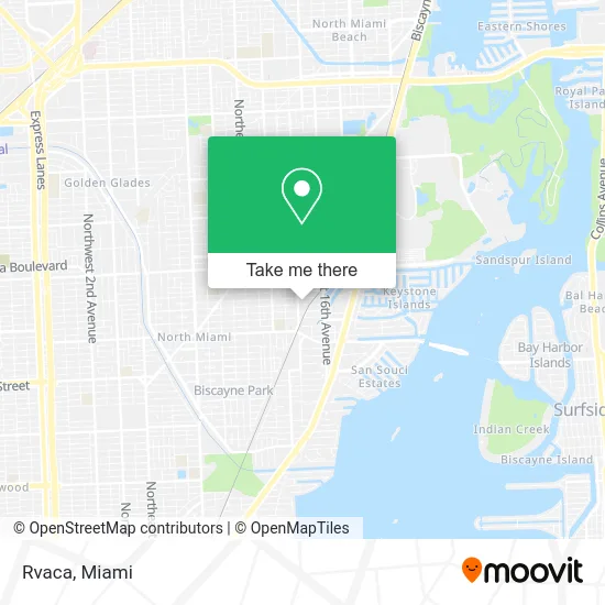
See Rvaca, Miami, on the map
Public Transit to Rvaca in Miami
Wondering how to get to Rvaca in Miami? Moovit helps you find the best way to get to Rvaca with step-by-step directions from the nearest public transit station.
Moovit provides free maps and live directions to help you navigate through your city. View schedules, routes, timetables, and find out how long does it take to get to Rvaca in real time.
Looking for the nearest stop or station to Rvaca? Check out this list of stops closest to your destination: Ne 12 Av & Ne 130 St; Ne 125 St @ Ne 14 Av; NE 16 Av & NE 125 St.
Bus: 125, 16, 25, NOMBLU, NOMRED.
Want to see if there’s another route that gets you there at an earlier time? Moovit helps you find alternative routes or times. Get directions from and directions to Rvaca easily from the Moovit App or Website.
We make riding to Rvaca easy, which is why over 1.5 million users, including users in Miami, trust Moovit as the best app for public transit. You don’t need to download an individual bus app or train app, Moovit is your all-in-one transit app that helps you find the best bus time or train time available.
For information on prices of bus, costs and ride fares to Rvaca, please check the Moovit app.
Use the app to navigate to popular places including to the airport, hospital, stadium, grocery store, mall, coffee shop, school, college, and university.
Rvaca Address: 1419 NE 129th St North Miami, FL 33161 street in Miami
- Export Diesel,
- Horovitz Andrei,
- Jimmy Auto Repair,
- Moving Express,
- Abreu Motors,
- Intoxalock Ignition Interlock,
- Pool Rangers Inc,
- Ikonick Motors,
- Silva's Kitchen,
- Bodhi Path Miami,
- Matthew Gist - Miami Waterfront Realty,
- Coronado Towers,
- Iopenusa Paid Online Surveys,
- Drillco National Group,
- Flamingo,
- Lakeside @ Biscayne Gardens,
- Future Cuts Barbershop,
- Chelito's Latin Food,
- Crpwestport Self Storage,
- Amazon Locker-Nabar
Places Near Rvaca (Miami)
- Aventura Mall, Miami,
- Miami VA Hospital, Miami,
- Wynwood, Miami,
- Miami Freedom Park, Miami,
- Port of Miami Cruise Terminal, Miami,
- Zoo Miami, Miami,
- Miami Design District, Miami,
- Bayside Marketplace, Miami,
- Richard E. Gerstein Justice Building, Miami,
- Sawgrass mall ( FL ), Miami Beach,
- Aventura Mall, Miami Beach,
- Dolphin Mall Bus, Miami,
- Marlins Park, Miami,
- Keiser University Flagship Campus, West Palm Beach,
- Miami-Dade County Courthouse, Miami,
- Little Havana, Miami,
- Brickell City Centre, Miami,
- Sawgrass Mall, Miami,
- Hard Rock Stadium, Miami Gardens,
- Dolphin Mall, Miami
How to get to popular places in Miami with public transit
Get around Miami by public transit!
Traveling around Miami has never been so easy. See step by step directions as you travel to any attraction, street or major public transit station. View bus and train schedules, arrival times, service alerts and detailed routes on a map, so you know exactly how to get to anywhere in Miami.
When traveling to any destination around Miami use Moovit's Live Directions with Get Off Notifications to know exactly where and how far to walk, how long to wait for your line, and how many stops are left. Moovit will alert you when it's time to get off — no need to constantly re-check whether yours is the next stop.
Wondering how to use public transit in Miami or how to pay for public transit in Miami? Moovit public transit app can help you navigate your way with public transit easily, and at minimum cost. It includes public transit fees, ticket prices, and costs. Looking for a map of Miami public transit lines? Moovit public transit app shows all public transit maps in Miami with all Bus, Train, Light Rail and Ferry routes and stops on an interactive map.
Miami has 4 transit type(s), including: Bus, Train, Light Rail and Ferry, operated by several transit agencies, including Broward County Transit, Miami-Dade Transit, Metrorail, Palm Tran, Tri-Rail, Brightline, MARTY, City of Homestead Trolley, Key West Transit, Treasure Coast Connector, GoLine IRT, Amtrak, Greyhound-us, FlixBus-us and Aventura Express Shuttle Bus