How to get to Rye Ymca by bus?
Click on the bus route to see step by step directions with maps, line arrival times and updated time schedules.
How to get to Rye Ymca by train?
Click on the train route to see step by step directions with maps, line arrival times and updated time schedules.
Bus stops near Rye Ymca
Train station near Rye Ymca
- Harrison, 5 min walk,VIEW
What are the closest stations to Rye Ymca?
The closest stations to Rye Ymca are:
- Theodore Fremd Ave @ Locust Ave is 253 yards away, 4 min walk.
- Cross St @ Boston Post Rd is 301 yards away, 5 min walk.
- Harrison is 379 yards away, 5 min walk.
Which bus lines stop near Rye Ymca?
These bus lines stop near Rye Ymca: 13, 61.
Which train line stops near Rye Ymca?
3 (1312#| Stamford)
What’s the nearest train station to Rye Ymca?
The nearest train station to Rye Ymca is Harrison. It’s a 5 min walk away.
What’s the nearest bus station to Rye Ymca?
The nearest bus station to Rye Ymca is Theodore Fremd Ave @ Locust Ave. It’s a 4 min walk away.
What time is the first train to Rye Ymca?
The 3 is the first train that goes to Rye Ymca. It stops nearby at 4:54 AM.
What time is the last train to Rye Ymca?
The 3 is the last train that goes to Rye Ymca. It stops nearby at 2:42 AM.
What time is the first bus to Rye Ymca?
The 61 is the first bus that goes to Rye Ymca. It stops nearby at 6:21 AM.
What time is the last bus to Rye Ymca?
The 61 is the last bus that goes to Rye Ymca. It stops nearby at 7:39 PM.
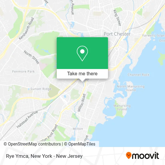
See Rye Ymca on the map
Public Transportation to Rye Ymca
Wondering how to get to Rye Ymca? Moovit helps you find the best way to get to Rye Ymca with step-by-step directions from the nearest public transit station.
Moovit provides free maps and live directions to help you navigate through your city. View schedules, routes, timetables, and find out how long does it take to get to Rye Ymca in real time.
Looking for the nearest stop or station to Rye Ymca? Check out this list of stops closest to your destination: Theodore Fremd Ave @ Locust Ave; Cross St @ Boston Post Rd; Harrison.
Bus: 13, 61.Train: 3, 4.
Want to see if there’s another route that gets you there at an earlier time? Moovit helps you find alternative routes or times. Get directions from and directions to Rye Ymca easily from the Moovit App or Website.
We make riding to Rye Ymca easy, which is why over 1.5 million users, including users in Rye, trust Moovit as the best app for public transit. You don’t need to download an individual bus app or train app, Moovit is your all-in-one transit app that helps you find the best bus time or train time available.
For information on prices of bus and train, costs and ride fares to Rye Ymca, please check the Moovit app.
Use the app to navigate to popular places including to the airport, hospital, stadium, grocery store, mall, coffee shop, school, college, and university.
Rye Ymca Address: 21 Locust Ave street in Rye
- Kids' S.P.A.C.E Of Rye,
- The Rye Ymca,
- Ymca Of Rye NY,
- Rye Library,
- Bobbypop,
- Three Goms,
- Dabney Lee,
- Élan Power,
- American Reclaimed,
- Green Wood Flowers,
- Thrive Reiki,
- House Of Hanover Llc,
- Innersense Healing,
- R and M Woodrow Jewelers,
- Hanni Fine Jewelry,
- Keegan & Donato Consulting,
- June Collection,
- The Dripbar,
- Beyond Yoga,
- Paul Shainberg Architects
Places Near Rye Ymca
- 1 Police Plaza, Manhattan,
- Katz's Deli, Manhattan,
- qqqq, Manhattan,
- 3 Stone St, Manhattan,
- SoHo, Manhattan,
- Chinatown, Manhattan,
- Times Square, Manhattan,
- Hudson Yards, Manhattan,
- Queens Center Mall, Queens,
- 111 Centre New York City Supreme Court, Manhattan,
- 26 Federal Plaza, Manhattan,
- Mountainside Hospital, Glen Ridge,
- San Gennaro Feast, Manhattan,
- Pier 83, Manhattan,
- 376 Hudson Street, Manhattan,
- Wall Street, Manhattan,
- 66 John Street, Manhattan,
- Bellevue Hospital, Manhattan,
- Rockefeller Center, Manhattan,
- 911 Memorial, Manhattan
How to get to popular places in New York - New Jersey with public transit
Get around Rye by public transit!
Traveling around Rye has never been so easy. See step by step directions as you travel to any attraction, street or major public transit station. View bus and train schedules, arrival times, service alerts and detailed routes on a map, so you know exactly how to get to anywhere in Rye.
When traveling to any destination around Rye use Moovit's Live Directions with Get Off Notifications to know exactly where and how far to walk, how long to wait for your line, and how many stops are left. Moovit will alert you when it's time to get off — no need to constantly re-check whether yours is the next stop.
Wondering how to use public transit in Rye or how to pay for public transit in Rye? Moovit public transit app can help you navigate your way with public transit easily, and at minimum cost. It includes public transit fees, ticket prices, and costs. Looking for a map of Rye public transit lines? Moovit public transit app shows all public transit maps in Rye with all Bus, Train, Subway, Light Rail, Ferry and Cable Car routes and stops on an interactive map.
New York - New Jersey has 6 transit type(s), including: Bus, Train, Subway, Light Rail, Ferry and Cable Car, operated by several transit agencies, including MTA Subway, Metro-North Railroad, LIRR, PATH, MTA New York City Transit - Express routes, MTA Bus, NJ Transit, NYC Ferry, NICE bus, Bee-Line Bus, NJ Transit Rail, Norwalk Transit District, Hartford Line, River Valley Transit and HART