How to get to SFL Chiropractic by bus?
Click on the bus route to see step by step directions with maps, line arrival times and updated time schedules.
From Boynton Beach, FL, Boynton Beach-Delray Beach
63 minFrom Boca Raton, FL, Boca Raton
58 minFrom Town Center at Boca Raton-East, Boca Raton
25 minFrom Bethesda Hospital East-ER, Boynton Beach-Delray Beach
43 minFrom Somerset Academy Canyons Charter School, Sunshine Parkway
50 minFrom Lynn University, Boca Raton
20 minFrom Boynton Beach Mall, Boynton Beach-Delray Beach
46 minFrom Boca Regional Hospital, Boca Raton
71 minFrom Sensual Asian Massage, Boca Raton
72 min
Bus stops near SFL Chiropractic in Boynton Beach-Delray Beach
Bus lines to SFL Chiropractic in Boynton Beach-Delray Beach
What are the closest stations to SFL Chiropractic?
The closest stations to SFL Chiropractic are:
- MILITARY TRL at COUNTRY LAKE CIR is 231 yards away, 3 min walk.
- LINTON BLVD at MILITARY TRL is 647 yards away, 8 min walk.
Which bus lines stop near SFL Chiropractic?
These bus lines stop near SFL Chiropractic: 3, 88.
What’s the nearest bus station to SFL Chiropractic in Boynton Beach-Delray Beach?
The nearest bus station to SFL Chiropractic in Boynton Beach-Delray Beach is MILITARY TRL at COUNTRY LAKE CIR. It’s a 3 min walk away.
What time is the first bus to SFL Chiropractic in Boynton Beach-Delray Beach?
The 3 is the first bus that goes to SFL Chiropractic in Boynton Beach-Delray Beach. It stops nearby at 5:37 AM.
What time is the last bus to SFL Chiropractic in Boynton Beach-Delray Beach?
The 3 is the last bus that goes to SFL Chiropractic in Boynton Beach-Delray Beach. It stops nearby at 9:49 PM.
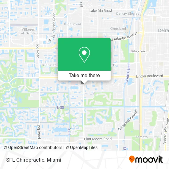
See SFL Chiropractic, Boynton Beach-Delray Beach, on the map
Public Transit to SFL Chiropractic in Boynton Beach-Delray Beach
Wondering how to get to SFL Chiropractic in Boynton Beach-Delray Beach? Moovit helps you find the best way to get to SFL Chiropractic with step-by-step directions from the nearest public transit station.
Moovit provides free maps and live directions to help you navigate through your city. View schedules, routes, timetables, and find out how long does it take to get to SFL Chiropractic in real time.
Looking for the nearest stop or station to SFL Chiropractic? Check out this list of stops closest to your destination: MILITARY TRL at COUNTRY LAKE CIR; LINTON BLVD at MILITARY TRL.
Bus: 3, 88.
Want to see if there’s another route that gets you there at an earlier time? Moovit helps you find alternative routes or times. Get directions from and directions to SFL Chiropractic easily from the Moovit App or Website.
We make riding to SFL Chiropractic easy, which is why over 1.5 million users, including users in Boynton Beach-Delray Beach, trust Moovit as the best app for public transit. You don’t need to download an individual bus app or train app, Moovit is your all-in-one transit app that helps you find the best bus time or train time available.
For information on prices of bus and train, costs and ride fares to SFL Chiropractic, please check the Moovit app.
Use the app to navigate to popular places including to the airport, hospital, stadium, grocery store, mall, coffee shop, school, college, and university.
SFL Chiropractic Address: 16244 S Military Trl Delray Beach, FL 33484 street in Boynton Beach-Delray Beach
- Vatche M. Zohrabian, D.O.,
- Total Health Medical Centers,
- Access Recovery Solutions, LLC,
- Dr. Alfred Santoro, Chiropractor,
- Audiology Specialists,
- Orlando Fl,
- Yelena Zubatov, MD,
- Galia Karli Skin Care Specialist,
- Tromans MD Marie Pa,
- Professional Service,
- 7 Days Recovery Chiropractors,
- Anurag Agarwal, MD,
- Youssef Zeidan, MD,
- Ronald J Glatzer MD,
- Military Trl Locksmith Company,
- Gun Room,
- RMBJJ Academy of Jiu Jitsu,
- ATM,
- Dance Flow,
- Boho Boca
Places Near SFL Chiropractic (Boynton Beach-Delray Beach)
- Aventura Mall, Miami,
- Zoo Miami, Miami,
- Little Havana, Miami,
- Miami-Dade County Courthouse, Miami,
- Miami Freedom Park, Miami,
- Aventura Mall, Miami Beach,
- Sawgrass mall ( FL ), Miami Beach,
- Port of Miami Cruise Terminal, Miami,
- Bayside Marketplace, Miami,
- Miami Design District, Miami,
- Dolphin Mall, Miami,
- Miami VA Hospital, Miami,
- Keiser University Flagship Campus, West Palm Beach,
- Marlins Park, Miami,
- Hard Rock Stadium, Miami Gardens,
- Dolphin Mall Bus, Miami,
- Richard E. Gerstein Justice Building, Miami,
- Sawgrass Mall, Miami,
- Brickell City Centre, Miami,
- Wynwood, Miami
How to get to popular places in Miami with public transit
Get around Boynton Beach-Delray Beach by public transit!
Traveling around Boynton Beach-Delray Beach has never been so easy. See step by step directions as you travel to any attraction, street or major public transit station. View bus and train schedules, arrival times, service alerts and detailed routes on a map, so you know exactly how to get to anywhere in Boynton Beach-Delray Beach.
When traveling to any destination around Boynton Beach-Delray Beach use Moovit's Live Directions with Get Off Notifications to know exactly where and how far to walk, how long to wait for your line, and how many stops are left. Moovit will alert you when it's time to get off — no need to constantly re-check whether yours is the next stop.
Wondering how to use public transit in Boynton Beach-Delray Beach or how to pay for public transit in Boynton Beach-Delray Beach? Moovit public transit app can help you navigate your way with public transit easily, and at minimum cost. It includes public transit fees, ticket prices, and costs. Looking for a map of Boynton Beach-Delray Beach public transit lines? Moovit public transit app shows all public transit maps in Boynton Beach-Delray Beach with all Bus, Train, Light Rail and Ferry routes and stops on an interactive map.
Miami has 4 transit type(s), including: Bus, Train, Light Rail and Ferry, operated by several transit agencies, including Broward County Transit, Miami-Dade Transit, Metrorail, Palm Tran, Tri-Rail, Brightline, MARTY, City of Homestead Trolley, Key West Transit, Treasure Coast Connector, GoLine IRT, Amtrak, Greyhound-us, FlixBus-us and Aventura Express Shuttle Bus