Directions to SRS Distribution (Wichita) with public transportation
The following transit lines have routes that pass near SRS Distribution
How to get to SRS Distribution by bus?
Click on the bus route to see step by step directions with maps, line arrival times and updated time schedules.
From Mike's & Sappio's Heating & Air Conditioning, Wichita
69 minFrom Prairie Vistas Gallery, Wichita
38 minFrom Bari Garst Design, Wichita
58 minFrom Riverside Custom Painting, Wichita
27 minFrom Pro Shop, Wichita
44 minFrom Institute for Advanced Islamic Knowledge, Wichita
49 minFrom Sujan Rijal, DDS, Wichita
59 minFrom Vu Nguyen - Farm Bureau, Wichita
69 minFrom A 1 Mold Testing & Remediation Services, Wichita
60 min
Bus stops near SRS Distribution in Wichita
Bus lines to SRS Distribution in Wichita
What are the closest stations to SRS Distribution?
The closest stations to SRS Distribution are:
- Seneca And Esthner Ob is 79 yards away, 2 min walk.
- Seneca And Harry Ib is 500 yards away, 6 min walk.
- West High School is 1332 yards away, 17 min walk.
Which bus lines stop near SRS Distribution?
These bus lines stop near SRS Distribution: ROUTE16: S BDWY-, ROUTE22: S BDWY-.
What’s the nearest bus station to SRS Distribution in Wichita?
The nearest bus station to SRS Distribution in Wichita is Seneca And Esthner Ob. It’s a 2 min walk away.
What time is the first bus to SRS Distribution in Wichita?
The ROUTE16: S BDWY- is the first bus that goes to SRS Distribution in Wichita. It stops nearby at 5:23 AM.
What time is the last bus to SRS Distribution in Wichita?
The ROUTE11: MAPLE-R is the last bus that goes to SRS Distribution in Wichita. It stops nearby at 7:18 PM.
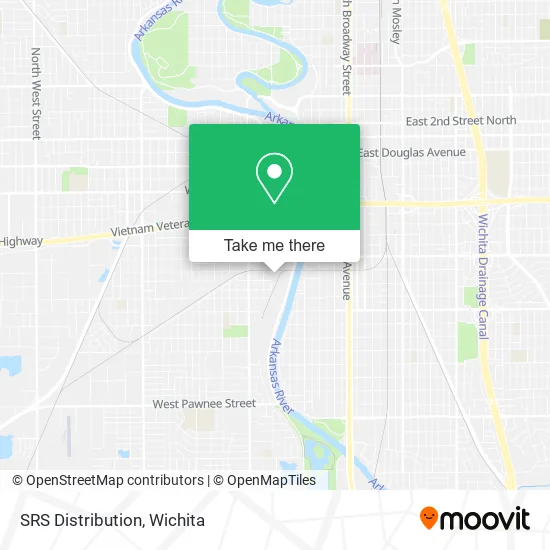
See SRS Distribution, Wichita, on the map
Public Transit to SRS Distribution in Wichita
Wondering how to get to SRS Distribution in Wichita? Moovit helps you find the best way to get to SRS Distribution with step-by-step directions from the nearest public transit station.
Moovit provides free maps and live directions to help you navigate through your city. View schedules, routes, timetables, and find out how long does it take to get to SRS Distribution in real time.
Looking for the nearest stop or station to SRS Distribution? Check out this list of stops closest to your destination: Seneca And Esthner Ob; Seneca And Harry Ib; West High School.
Bus: ROUTE16: S BDWY-, ROUTE22: S BDWY-, SOUTH HIGH, ROUTE11: MAPLE-R.
Want to see if there’s another route that gets you there at an earlier time? Moovit helps you find alternative routes or times. Get directions from and directions to SRS Distribution easily from the Moovit App or Website.
We make riding to SRS Distribution easy, which is why over 1.5 million users, including users in Wichita, trust Moovit as the best app for public transit. You don’t need to download an individual bus app or train app, Moovit is your all-in-one transit app that helps you find the best bus time or train time available.
For information on prices of bus, costs and ride fares to SRS Distribution, please check the Moovit app.
Use the app to navigate to popular places including to the airport, hospital, stadium, grocery store, mall, coffee shop, school, college, and university.
SRS Distribution Address: 1310 S Osage St Wichita, KS 67213 street in Wichita
- Sedgwick County Household Hazardous Waste Disposal,
- Tornado Alley Chassisworks, LLC.,
- Ron's Sign Company,
- Precision Lawn and Landscape,
- Chris Martsolf Construction,
- Kansas Lottery,
- Sedgwick County Courthouse,
- South Seneca Scrap,
- Sedgwick County Code Enforcement,
- smart Car Choice,
- Sedgwick County Storm Water Management,
- Seneca and Harry,
- Champs 316,
- Bodycote,
- Dirty D's,
- Rockitcoin,
- Lincoln Bridge,
- Phillips 66,
- Seneca Store,
- Popeyes LOUISIANA KITCHEN
Places Near SRS Distribution (Wichita)
- Spirit Aerosystems,
- Four Corners Cafe @ Wesley Medical Center, Wichita,
- 21st & Maize, Wichita,
- Ratcliff Auto and Truck Repair, Wichita,
- Spirit Aerosystems Inc, Building 1-198D,
- Towne East Mall, Wichita,
- Spirit AeroSystems, Bldg 2-280J (Section 9),
- Westside Athletic Field (Friends University Baseball Field), Wichita,
- Hubb's glory hole, Wichita,
- Paige Place Apartments, Wichita,
- East 21st Street North and Webb Road, Wichita,
- Total Card Solutions, Wichita,
- Afghan Halal Market, Wichita,
- Bmer Tech Automotive, Wichita,
- North High School, Wichita,
- Wichita Dwight D. Eisenhower National Airport (ICT) (Wichita Eisenhower National Airport), Wichita,
- Lopez Services, Wichita,
- Ascencion Via Christi Hospital St Francis, Wichita,
- McConnell Air Force Base, Mcconnell Afb,
- Sena African Hair Braiding LLC, Wichita
How to get to popular places in Wichita with public transit
Get around Wichita by public transit!
Traveling around Wichita has never been so easy. See step by step directions as you travel to any attraction, street or major public transit station. View bus and train schedules, arrival times, service alerts and detailed routes on a map, so you know exactly how to get to anywhere in Wichita.
When traveling to any destination around Wichita use Moovit's Live Directions with Get Off Notifications to know exactly where and how far to walk, how long to wait for your line, and how many stops are left. Moovit will alert you when it's time to get off — no need to constantly re-check whether yours is the next stop.
Wondering how to use public transit in Wichita or how to pay for public transit in Wichita? Moovit public transit app can help you navigate your way with public transit easily, and at minimum cost. It includes public transit fees, ticket prices, and costs. Looking for a map of Wichita public transit lines? Moovit public transit app shows all public transit maps in Wichita with all bus routes and stops on an interactive map.
Wichita has 1 transit type(s), including: bus, operated by several transit agencies, including Wichita Transit, Greyhound-us and FlixBus-us