How to get to STARBUCKS by bus?
Click on the bus route to see step by step directions with maps, line arrival times and updated time schedules.
From The Boutique, Gardnerville
74 minFrom Donovan Group Luxury Team, South Lake Tahoe
36 minFrom Lake Tahoe Executive Search, Gardnerville
75 minFrom Salvation Army, South Lake Tahoe
29 minFrom Minden, NV, Minden
71 minFrom Tacos Por Favor Catering, South Lake Tahoe
25 minFrom Water Softeners, South Lake Tahoe
27 minFrom Henning Mehrens MD, South Lake Tahoe
37 min
Bus stops near STARBUCKS in South Lake Tahoe
Bus lines to STARBUCKS in South Lake Tahoe
What are the closest stations to STARBUCKS?
The closest stations to STARBUCKS are:
- Pioneer Trail/Aspenwald Rd is 274 yards away, 4 min walk.
- Stateline Transit Center is 466 yards away, 6 min walk.
Which bus lines stop near STARBUCKS?
These bus lines stop near STARBUCKS: 22, 50, 55.
What’s the nearest bus station to STARBUCKS in South Lake Tahoe?
The nearest bus station to STARBUCKS in South Lake Tahoe is Pioneer Trail/Aspenwald Rd. It’s a 4 min walk away.
What time is the first bus to STARBUCKS in South Lake Tahoe?
The 22 is the first bus that goes to STARBUCKS in South Lake Tahoe. It stops nearby at 6:00 AM.
What time is the last bus to STARBUCKS in South Lake Tahoe?
The 50 is the last bus that goes to STARBUCKS in South Lake Tahoe. It stops nearby at 8:53 PM.
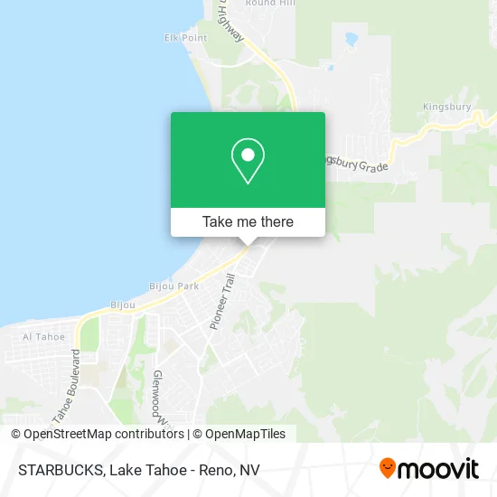
See STARBUCKS, South Lake Tahoe, on the map
Public Transit to STARBUCKS in South Lake Tahoe
Wondering how to get to STARBUCKS in South Lake Tahoe? Moovit helps you find the best way to get to STARBUCKS with step-by-step directions from the nearest public transit station.
Moovit provides free maps and live directions to help you navigate through your city. View schedules, routes, timetables, and find out how long does it take to get to STARBUCKS in real time.
Looking for the nearest stop or station to STARBUCKS? Check out this list of stops closest to your destination: Pioneer Trail/Aspenwald Rd; Stateline Transit Center.
Bus: 22, 50, 55.
Want to see if there’s another route that gets you there at an earlier time? Moovit helps you find alternative routes or times. Get directions from and directions to STARBUCKS easily from the Moovit App or Website.
We make riding to STARBUCKS easy, which is why over 1.5 million users, including users in South Lake Tahoe, trust Moovit as the best app for public transit. You don’t need to download an individual bus app or train app, Moovit is your all-in-one transit app that helps you find the best bus time or train time available.
For information on prices of bus, costs and ride fares to STARBUCKS, please check the Moovit app.
Use the app to navigate to popular places including to the airport, hospital, stadium, grocery store, mall, coffee shop, school, college, and university.
STARBUCKS Address: 4000 Lake Tahoe Blvd South Lake Tahoe, CA 96150 street in South Lake Tahoe
- Coinstar,
- Ting Yi Imports,
- The North Face,
- Jamba,
- Bliss Experiences,
- Direct SAT TV,
- LOTUS Pho,
- Store,
- Jolie Quest Hotels & Resorts,
- Sun Evolution,
- Hard Rock Hotel & Casino Lake Tahoe,
- Heavenly Village Lake Tahoe,
- Beanies and Bikinis,
- Wolverine World Wide,
- Around Tahoe Adventures,
- Community Speakeasy,
- COLD STONE CREAMERY,
- Hotel Becket, Trademark Collection by Wyndham,
- Blue Go Bus 23,
- Fantasy Kingdom Golf
Places Near STARBUCKS (South Lake Tahoe)
- Hidden Beach, Incline Village,
- Peppermill, Reno,
- Tesla, Carson City,
- 2777 usa Parkway, Sparks,
- Grand Sierra Resort, Reno,
- Tesla, Reno,
- Walmart Supercenter, Reno,
- Emerald Bay, South Lake Tahoe,
- University of Nevada, Reno, Reno,
- Social Security Administration, Reno,
- Department of Motor Vehicles (DMV), Reno,
- The Nugget Sparks - Tesla Destination, Sparks,
- Mount Rose Ski Resort Entrance, Reno,
- DMV, Reno,
- Boomtown Hotel, Reno,
- Meadowood Mall, Reno,
- Boreal Mountain Resort, Truckee,
- The Summit (Summit Shopping Center), Reno,
- Reno, Nevada, Reno,
- Tesla, Reno
How to get to popular places in Lake Tahoe - Reno, NV with public transit
Get around South Lake Tahoe by public transit!
Traveling around South Lake Tahoe has never been so easy. See step by step directions as you travel to any attraction, street or major public transit station. View bus and train schedules, arrival times, service alerts and detailed routes on a map, so you know exactly how to get to anywhere in South Lake Tahoe.
When traveling to any destination around South Lake Tahoe use Moovit's Live Directions with Get Off Notifications to know exactly where and how far to walk, how long to wait for your line, and how many stops are left. Moovit will alert you when it's time to get off — no need to constantly re-check whether yours is the next stop.
Wondering how to use public transit in South Lake Tahoe or how to pay for public transit in South Lake Tahoe? Moovit public transit app can help you navigate your way with public transit easily, and at minimum cost. It includes public transit fees, ticket prices, and costs. Looking for a map of South Lake Tahoe public transit lines? Moovit public transit app shows all public transit maps in South Lake Tahoe with all Bus and Train routes and stops on an interactive map.
Lake Tahoe - Reno, NV has 2 transit type(s), including: Bus and Train, operated by several transit agencies, including RTC RIDE, Tahoe Truckee Area Regional Transit, North Lake Tahoe Express - 24 hour advance reservations required, Tahoe Transportation District, Amtrak and Greyhound-us