How to get to STARBUCKS by bus?
Click on the bus route to see step by step directions with maps, line arrival times and updated time schedules.
From Ellsworth Place, Montgomery County
53 minFrom Kaiser Permanente - Kensington Medical Center, Montgomery County
29 minFrom Silver Spring Civic Building (Silver Spring Civic Center), Montgomery County
54 minFrom National Institutes of Health (NIH), Montgomery County
48 minFrom Adventist HealthCare Shady Grove Medical Center, Montgomery County
59 minFrom Montgomery Blair High School, Montgomery County
51 minFrom Regal Majestic Stadium 20 and IMAX, Montgomery County
52 minFrom Suburban Hospital, Montgomery County
82 minFrom Kensington, Maryland, Montgomery County
36 minFrom The Fillmore Silver Spring, Montgomery County
52 min
How to get to STARBUCKS by metro?
Click on the metro route to see step by step directions with maps, line arrival times and updated time schedules.
From Ellsworth Place, Montgomery County
59 minFrom Silver Spring Civic Building (Silver Spring Civic Center), Montgomery County
62 minFrom National Institutes of Health (NIH), Montgomery County
95 minFrom Regal Majestic Stadium 20 and IMAX, Montgomery County
60 minFrom Suburban Hospital, Montgomery County
110 minFrom The Fillmore Silver Spring, Montgomery County
58 min
Bus stops near STARBUCKS in Montgomery County
Metro station near STARBUCKS in Montgomery County
- Glenmont, 33 min walk,VIEW
Bus lines to STARBUCKS in Montgomery County
What are the closest stations to STARBUCKS?
The closest stations to STARBUCKS are:
- Connecticut Ave & Aspen Hill Rd is 224 yards away, 3 min walk.
- Aspen Hill Rd & Connecticut Ave is 471 yards away, 6 min walk.
- Georgia Av+Aspen Hill Rd is 632 yards away, 8 min walk.
- Glenmont is 2796 yards away, 33 min walk.
Which bus lines stop near STARBUCKS?
These bus lines stop near STARBUCKS: 26, 41, M22.
Which metro line stops near STARBUCKS?
RED (Glenmont)
What’s the nearest bus station to STARBUCKS in Montgomery County?
The nearest bus station to STARBUCKS in Montgomery County is Connecticut Ave & Aspen Hill Rd. It’s a 3 min walk away.
What time is the first metro to STARBUCKS in Montgomery County?
The RED is the first metro that goes to STARBUCKS in Montgomery County. It stops nearby at 5:00 AM.
What time is the last metro to STARBUCKS in Montgomery County?
The RED is the last metro that goes to STARBUCKS in Montgomery County. It stops nearby at 12:37 AM.
What time is the first bus to STARBUCKS in Montgomery County?
The M20 is the first bus that goes to STARBUCKS in Montgomery County. It stops nearby at 4:30 AM.
What time is the last bus to STARBUCKS in Montgomery County?
The M22 is the last bus that goes to STARBUCKS in Montgomery County. It stops nearby at 2:29 AM.
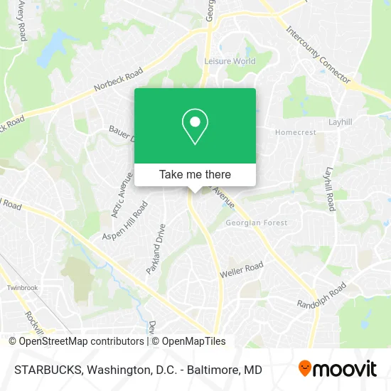
See STARBUCKS, Montgomery County, on the map
Public Transit to STARBUCKS in Montgomery County
Wondering how to get to STARBUCKS in Montgomery County? Moovit helps you find the best way to get to STARBUCKS with step-by-step directions from the nearest public transit station.
Moovit provides free maps and live directions to help you navigate through your city. View schedules, routes, timetables, and find out how long does it take to get to STARBUCKS in real time.
Looking for the nearest stop or station to STARBUCKS? Check out this list of stops closest to your destination: Connecticut Ave & Aspen Hill Rd; Aspen Hill Rd & Connecticut Ave; Georgia Av+Aspen Hill Rd; Glenmont.
Bus: 26, 41, M22, M20.Metro: RED.
Want to see if there’s another route that gets you there at an earlier time? Moovit helps you find alternative routes or times. Get directions from and directions to STARBUCKS easily from the Moovit App or Website.
We make riding to STARBUCKS easy, which is why over 1.5 million users, including users in Montgomery County, trust Moovit as the best app for public transit. You don’t need to download an individual bus app or train app, Moovit is your all-in-one transit app that helps you find the best bus time or train time available.
For information on prices of bus and metro, costs and ride fares to STARBUCKS, please check the Moovit app.
Use the app to navigate to popular places including to the airport, hospital, stadium, grocery store, mall, coffee shop, school, college, and university.
STARBUCKS Address: 13677 Connecticut Ave Silver Spring, MD 20906 street in Montgomery County
- Direct SAT TV,
- Go Wireless,
- WING STOP,
- Aspen Hill Shopping Center,
- Mezeh Aspen,
- Charleys Philly Steaks,
- Code Locksmith Co Silver Spring,
- AT&T,
- First National Bank ATM,
- Libertyx Bitcoin ATM,
- Volta,
- Shell Recharge,
- Giant Pharmacy,
- Links To Heritage,
- MD Lot East Rockville,
- A Plus Mini Market,
- United Pentecostal Church,
- Chan Kevin Od - Chan, Kevin Od,
- Aspen Hill Smiles,
- Family Dentistry
Places Near STARBUCKS (Montgomery County)
- Warner Theatre, Washington,
- Museum Of The Bible, Washington,
- Rock Creek Tennis Center, Washington,
- Capital One Arena, Washington,
- Camden Yards, Baltimore,
- Washington National Cathedral, Washington,
- Amazon Hq2, Arlington County,
- Marriott Marquis Washington, DC, Washington,
- M&T Bank Stadium, Baltimore,
- National Zoo, Washington,
- Washington DC VA Medical Center, Washington,
- Basilica of the National Shrine, Washington,
- The Anthem, Washington,
- National Mall, Washington,
- Georgetown, Washington,
- Sibley Memorial Hospital, Washington,
- Pennsylvania Ave NW (3rd st and pennsylvania), Washington,
- Westfield Montgomery Mall, Montgomery County,
- National Museum of African American History and Culture, Washington,
- PG Mall, Prince George's County
How to get to popular places in Washington, D.C. - Baltimore, MD with public transit
Get around Montgomery County by public transit!
Traveling around Montgomery County has never been so easy. See step by step directions as you travel to any attraction, street or major public transit station. View bus and train schedules, arrival times, service alerts and detailed routes on a map, so you know exactly how to get to anywhere in Montgomery County.
When traveling to any destination around Montgomery County use Moovit's Live Directions with Get Off Notifications to know exactly where and how far to walk, how long to wait for your line, and how many stops are left. Moovit will alert you when it's time to get off — no need to constantly re-check whether yours is the next stop.
Wondering how to use public transit in Montgomery County or how to pay for public transit in Montgomery County? Moovit public transit app can help you navigate your way with public transit easily, and at minimum cost. It includes public transit fees, ticket prices, and costs. Looking for a map of Montgomery County public transit lines? Moovit public transit app shows all public transit maps in Montgomery County with all Bus, Train, Metro, Light Rail and Ferry routes and stops on an interactive map.
Washington, D.C. - Baltimore, MD has 5 transit type(s), including: Bus, Train, Metro, Light Rail and Ferry, operated by several transit agencies, including WMATA, Montgomery County Ride On, Fairfax Connector, TheBus, PRTC, DASH - Alexandria, Arlington Transit (ART), RTA of Central Maryland, MDOT MTA, MDOT MTA Light RailLink, MDOT MTA Commuter Bus, MDOT MTA Local Bus, FXBGO!, Virginia Railway Express (VRE) and MARC