SW 104 ST @ SW 113 PL stop - Sunday schedule
| Line | Direction | Time |
|---|---|---|
| 104 | 104 Westbound West Kendall Park & Ride Via 167 Av | 6:31 AM |
| 107 | 107 - S. Dade Gvt Ctr | 6:39 AM |
| 107 | 107 - S. Dade Gvt Ctr | 7:06 AM |
| 104 | 104a - West Kendall Park & Ride Via Hammocks Blvd | 7:31 AM |
| 107 | 107 - S. Dade Gvt Ctr | 7:36 AM |
| 107 | 107 - S. Dade Gvt Ctr | 8:04 AM |
| 104 | 104 Westbound West Kendall Park & Ride Via 167 Av | 8:31 AM |
| 107 | 107 - S. Dade Gvt Ctr | 8:31 AM |
| 104 | 104a - West Kendall Park & Ride Via Hammocks Blvd | 9:01 AM |
| 107 | 107 - S. Dade Gvt Ctr | 9:02 AM |
| 104 | 104 Westbound West Kendall Park & Ride Via 167 Av | 9:31 AM |
| 107 | 107 - S. Dade Gvt Ctr | 9:32 AM |
| 104 | 104a - West Kendall Park & Ride Via Hammocks Blvd | 10:01 AM |
| 107 | 107 - S. Dade Gvt Ctr | 10:02 AM |
| 107 | 107 - S. Dade Gvt Ctr | 10:31 AM |
| 104 | 104 Westbound West Kendall Park & Ride Via 167 Av | 10:32 AM |
| 104 | 104a - West Kendall Park & Ride Via Hammocks Blvd | 11:02 AM |
| 107 | 107 - S. Dade Gvt Ctr | 11:02 AM |
| 104 | 104 Westbound West Kendall Park & Ride Via 167 Av | 11:32 AM |
| 107 | 107 - S. Dade Gvt Ctr | 11:32 AM |
| 104 | 104a - West Kendall Park & Ride Via Hammocks Blvd | 12:02 PM |
| 107 | 107 - S. Dade Gvt Ctr | 12:02 PM |
| 107 | 107 - S. Dade Gvt Ctr | 12:31 PM |
| 104 | 104 Westbound West Kendall Park & Ride Via 167 Av | 12:34 PM |
| 107 | 107 - S. Dade Gvt Ctr | 1:01 PM |
Directions to SW 104 ST @ SW 113 PL stop (Kendall-Palmetto Bay) with public transit
The following transit lines have routes that pass near SW 104 ST @ SW 113 PL
 Bus: 104, 107, 204.
How to get to SW 104 ST @ SW 113 PL stop by bus?
Click on the bus route to see step by step directions with maps, line arrival times and updated time schedules.
Bus stops near SW 104 ST @ SW 113 PL stop in Kendall-Palmetto Bay
- SW 104 ST & 113 PL, 2 min walk,
Bus lines to SW 104 ST @ SW 113 PL stop in Kendall-Palmetto Bay
- 104, 104 - Dadeland North Station Via 167 Av,
- 107, 107 - Dolphin Mall Terminal,
- 204, 204 - West Kendall Park & Ride,
What are the closest stations to SW 104 ST @ SW 113 PL?
The closest stations to SW 104 ST @ SW 113 PL are:
- SW 104 ST & 113 PL is 87 yards away, 2 min walk.
Which bus lines stop near SW 104 ST @ SW 113 PL?
These bus lines stop near SW 104 ST @ SW 113 PL: 104, 107, 204.
What’s the nearest bus station to SW 104 ST @ SW 113 PL in Kendall-Palmetto Bay?
The nearest bus station to SW 104 ST @ SW 113 PL in Kendall-Palmetto Bay is SW 104 ST & 113 PL. It’s a 2 min walk away.
What time is the first bus to SW 104 ST @ SW 113 PL in Kendall-Palmetto Bay?
The 104 is the first bus that goes to SW 104 ST @ SW 113 PL in Kendall-Palmetto Bay. It stops nearby at 5:21 AM.
What time is the last bus to SW 104 ST @ SW 113 PL in Kendall-Palmetto Bay?
The 107 is the last bus that goes to SW 104 ST @ SW 113 PL in Kendall-Palmetto Bay. It stops nearby at 12:41 AM.
SW 104 ST @ SW 113 PL station
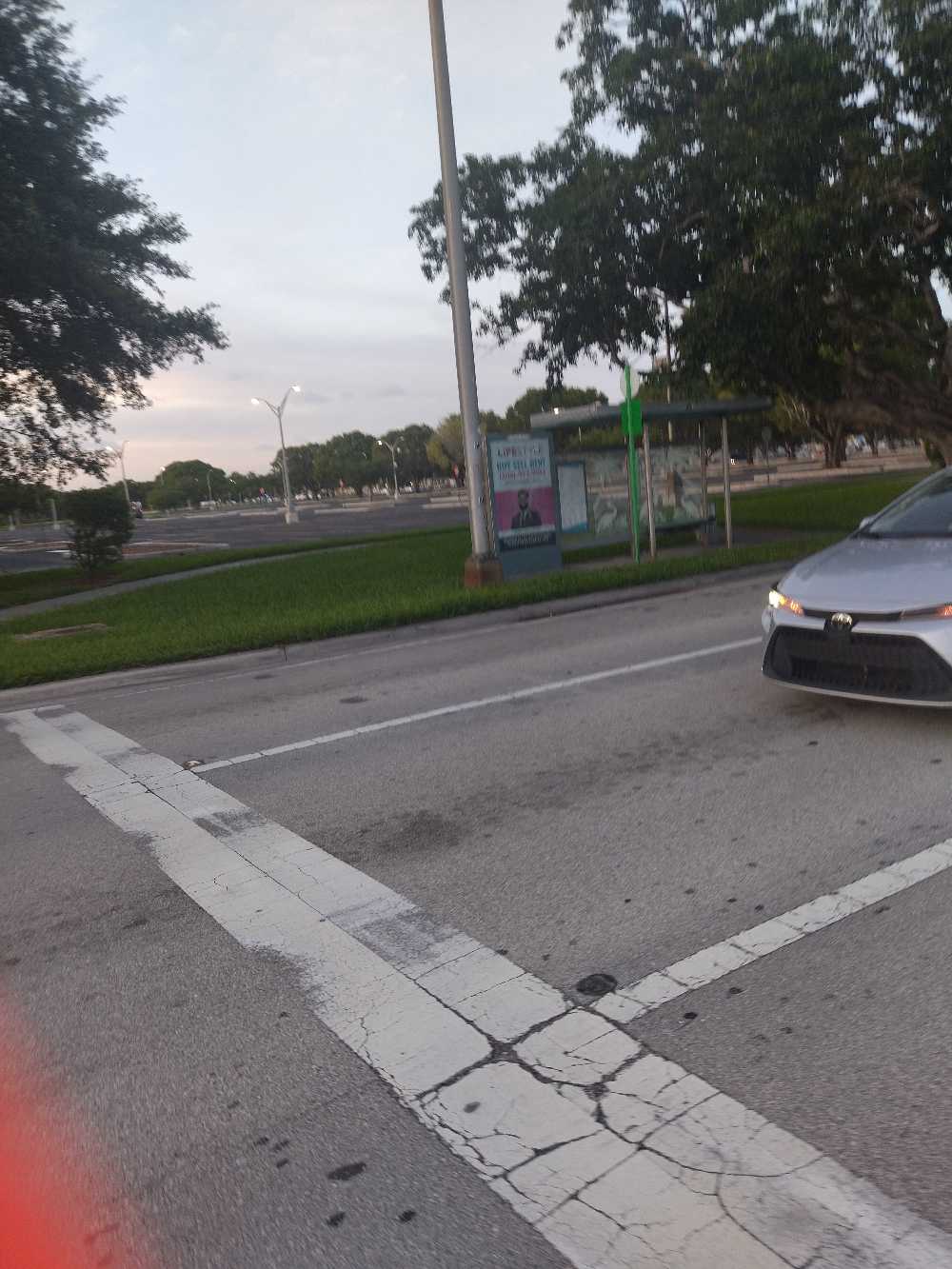 Taken by Diana C.
See SW 104 ST @ SW 113 PL stop, Kendall-Palmetto Bay, on the map
Public transit to SW 104 ST @ SW 113 PL stop (ID: 104S113W) in Kendall-Palmetto Bay
Looking for directions to SW 104 ST @ SW 113 PL in Kendall-Palmetto Bay, United States?
Download the Moovit App to find the current schedule and step-by-step directions for Bus or Train routes that pass through SW 104 ST @ SW 113 PL.
Looking for the nearest stops closest to SW 104 ST @ SW 113 PL ? Check out this list of closest stops to your destination: SW 104 ST & 113 PL.
Bus: 104, 107, 204.
We make riding on public transit to SW 104 ST @ SW 113 PL easy, which is why over 1.5 million users, including users in Kendall-Palmetto Bay trust Moovit as the best app for public transit.
Use the app to navigate to popular places including to the airport, hospital, stadium, grocery store, mall, coffee shop, school, college, and university.
SW 104 ST @ SW 113 PL stop’s code is 104S113W
The first line to this stop is 104, at 6:31 AM, and the last line is 107 at 11:26 PM.
This stop serves Miami-Dade Transit’s lines
- SW 104 ST & 113 PL
Bus stop near SW 104 ST @ SW 113 PL stop
- DORAL ISLES PLAZA (PUBLIX) NW 107 AVE@NW 58 ST,
- SW 8 ST @ SW 129 PL,
- NW 5 AV & NW 5 ST,
- NW 25 ST & NW 79 AV,
- SW 87 AV & SW 48 ST,
- SW 117 AV @ SW 120 ST,
- GATEWAY BLVD at HAMPTON INN,
- Broward Boulevard & US 441,
- Stirling Road/Pine Island Road,
- W 12 AV & 49 ST HIALEAH,
- Us-441/Sr-7 @ Sandalfoot Blvd,
- NW 37 AV & 7 ST,
- NE 125 ST @ NE 10 AV,
- JOHN I SMITH K-8 CENTER,
- TONY ROMAS NW 33 ST@NW 87 AVE,
- SW 24 ST & SW 70 CT,
- Cudjoe Key - Prior to Cutthroat Road,
- NE 125 ST @ NE 6 AV,
- LANTANA RD at MILITARY TRL,
- W FLAGLER ST @ SW 72 AV
Popular public transit stations in Kendall-Palmetto Bay
Get around Kendall-Palmetto Bay by public transit!
Traveling around Kendall-Palmetto Bay has never been so easy. See step by step directions as you travel to any attraction, street or major public transit station. View bus and train schedules, arrival times, service alerts and detailed routes on a map, so you know exactly how to get to anywhere in Kendall-Palmetto Bay.
When traveling to any destination around Kendall-Palmetto Bay use Moovit's Live Directions with Get Off Notifications to know exactly where and how far to walk, how long to wait for your line, and how many stops are left. Moovit will alert you when it's time to get off — no need to constantly re-check whether yours is the next stop.
Wondering how to use public transit in Kendall-Palmetto Bay or how to pay for public transit in Kendall-Palmetto Bay? Moovit public transit app can help you navigate your way with public transit easily, and at minimum cost. It includes public transit fees, ticket prices, and costs. Looking for a map of Kendall-Palmetto Bay public transit lines? Moovit public transit app shows all public transit maps in Kendall-Palmetto Bay with all Bus, Train, Light Rail and Ferry routes and stops on an interactive map.
Miami has 4 transit type(s), including: Bus, Train, Light Rail and Ferry, operated by several transit agencies, including Broward County Transit, Miami-Dade Transit, Metrorail, Palm Tran, Tri-Rail, Brightline, MARTY, City of Homestead Trolley, Key West Transit, Treasure Coast Connector, GoLine IRT, Amtrak, Greyhound-us, FlixBus-us and Aventura Express Shuttle Bus