St. John of God station - Friday schedule
| Line | Direction | Time |
|---|---|---|
| 8 | Venice | 5:13 AM |
| 8 | Venice | 5:21 AM |
| 8 | Venice | 5:30 AM |
| 8 | Venice | 5:39 AM |
| 8 | Venice | 5:48 AM |
| 8 | Venice | 5:57 AM |
| 8 | Venice | 6:06 AM |
| 8 | Venice | 6:15 AM |
| 8 | Venice | 6:23 AM |
| 8 | Venice | 6:31 AM |
| 8 | Venice | 6:35 AM |
| 8 | Venice | 6:39 AM |
| 8 | Venice | 6:48 AM |
| 8 | Venice | 6:56 AM |
| 8 | Venice | 7:04 AM |
| 8 | Venice | 7:07 AM |
| 8 | Venice | 7:12 AM |
| 8 | Venice | 7:21 AM |
| 8 | Venice | 7:29 AM |
| 8 | Venice | 7:37 AM |
| 8 | Venice | 7:45 AM |
| 8 | Venice | 7:49 AM |
| 8 | Venice | 7:53 AM |
| 8 | Venice | 8:01 AM |
| 8 | Venice | 8:09 AM |
Directions to St. John of God station (Roma) with public transit
The following transit lines have routes that pass near St. John of God
 Bus: 088, 44, 791, 792, 8BUS.
- Train: FL1, FL3.
- Metro: A, B.
- Light Rail: 8.
How to get to St. John of God station by bus?
Click on the bus route to see step by step directions with maps, line arrival times and updated time schedules.
How to get to St. John of God station by train?
Click on the train route to see step by step directions with maps, line arrival times and updated time schedules.
How to get to St. John of God station by metro?
Click on the metro route to see step by step directions with maps, line arrival times and updated time schedules.
Bus stops near St. John of God stop in Roma
- Jenner, 2 min walk,
- Colli Portuensi/Arati, 3 min walk,
- Zambarelli/Gianicolense, 4 min walk,
- Gianicolense/Colli Portuensi, 5 min walk,
Light Rail stations near St. John of God station in Roma
- Casaletto, 15 min walk,
Bus lines to St. John of God station in Roma
- 44, Montalcini,
- 31, Laurentina (Metro B),
- 33, Clodio,
- 870, Paola,
- 982, Seventeenth Olympics,
- H, Dei Capasso,
- N8, Termini (Metro A-Metro B-Railway),
- 791, Nervi/Sports Palace,
- 792, Porta San Giovanni (MA),
- C6, Flaminio Cemetery,
- 088, Gianicolense/Casaletto,
- 8BUS, Tram 8 Replacement | Piazza Venezia - Casaletto,
- 882, Colle Massimo - Casaletto,
- 088F, Massimina - Gianicolense/Casaletto,
What are the closest stations to St. John of God?
The closest stations to St. John of God are:
- Jenner stop is 100 meters away, 2 min walk.
- Colli Portuensi/Arati stop is 137 meters away, 3 min walk.
- Zambarelli/Gianicolense stop is 293 meters away, 4 min walk.
- Gianicolense/Colli Portuensi stop is 319 meters away, 5 min walk.
- Casaletto station is 1131 meters away, 15 min walk.
Which bus lines stop near St. John of God?
These bus lines stop near St. John of God: 088, 44, 791, 792, 8BUS, 982, H.
Which train lines stop near St. John of God?
These train lines stop near St. John of God: FL1, FL3.
Which metro lines stop near St. John of God?
These metro lines stop near St. John of God: A, B.
Which light rail line stops near St. John of God?
8 (Casaletto)
What’s the nearest light rail station to St. John of God in Roma?
The nearest light rail station to St. John of God in Roma is Casaletto. It’s a 15 min walk away.
What’s the nearest bus station to St. John of God in Roma?
The nearest bus station to St. John of God in Roma is Jenner. It’s a 2 min walk away.
What time is the first light rail to St. John of God in Roma?
The 8 is the first light rail that goes to St. John of God in Roma. It stops nearby at 5:01 AM.
What time is the last light rail to St. John of God in Roma?
The 8 is the last light rail that goes to St. John of God in Roma. It stops nearby at 8:14 PM.
What time is the first bus to St. John of God in Roma?
The N8 is the first bus that goes to St. John of God in Roma. It stops nearby at 3:13 AM.
What time is the last bus to St. John of God in Roma?
The N8 is the last bus that goes to St. John of God in Roma. It stops nearby at 3:14 AM.
St. John of God station
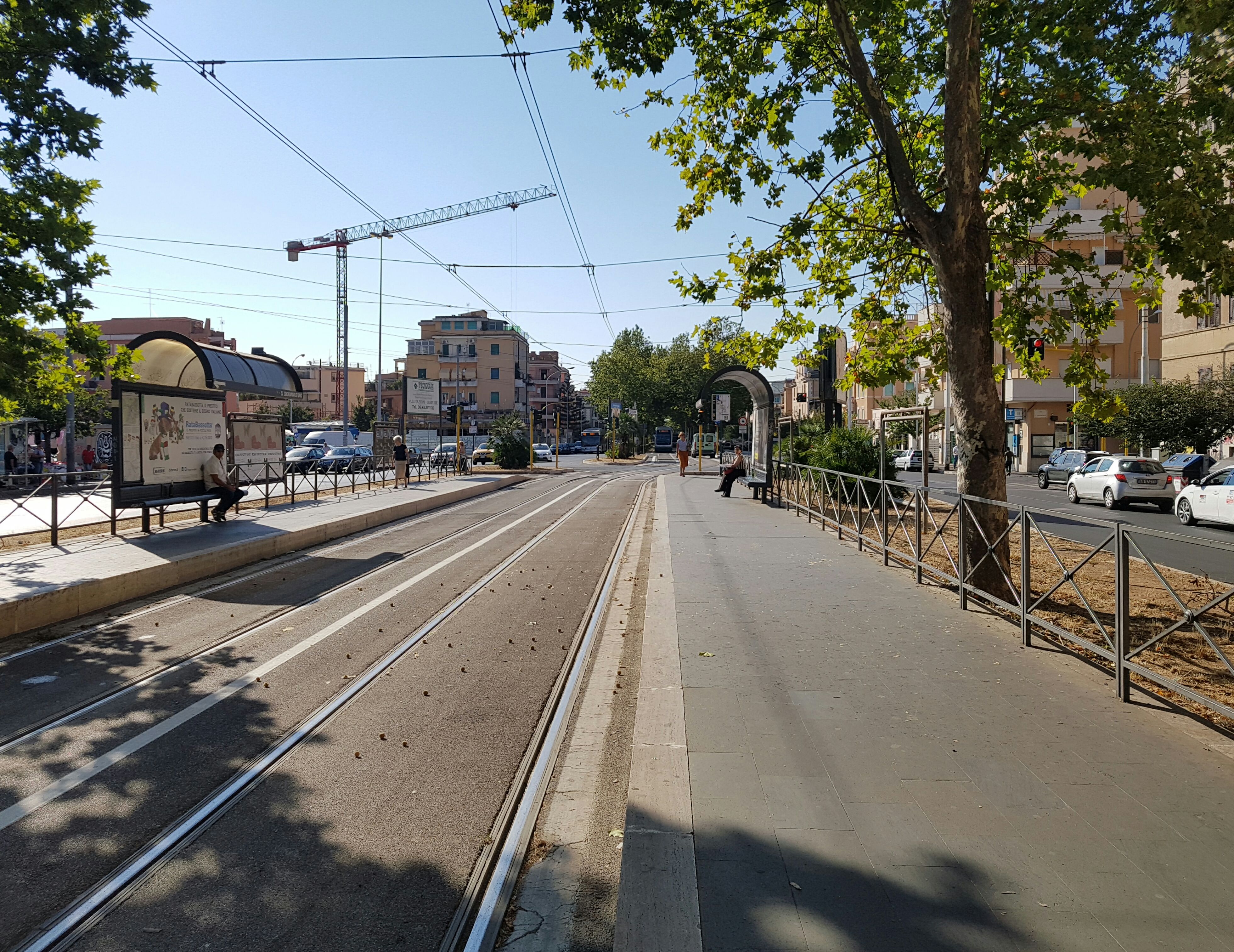 Taken by Samuel P.
See St. John of God station, Roma, on the map
Public transit to St. John of God station (ID: 80632) in Roma
Looking for directions to St. John of God in Roma, Italy?
Download the Moovit App to find the current schedule and step-by-step directions for Bus, Train, Metro or Light Rail routes that pass through St. John of God.
Looking for the nearest stops closest to St. John of God ? Check out this list of closest stops to your destination: Jenner; Colli Portuensi/Arati; Zambarelli/Gianicolense; Gianicolense/Colli Portuensi; Casaletto.
Bus: 088, 44, 791, 792, 8BUS, 982, H, 31, 33, 870, N8, C6, 882, 088F.Train: FL1, FL3.Metro: A, B.Light Rail: 8.
We make riding on public transit to St. John of God easy, which is why over 1.7 billion users, including users in Roma trust Moovit as the best app for public transit.
Use the app to navigate to popular places including to the airport, hospital, stadium, grocery store, mall, coffee shop, school, college, and university.
St. John of God station’s code is 80632
The first line to this station is 8, at 5:13 AM, and the last line is 8 at 2:41 AM.
Piazza San Giovanni di Dio, Roma, Italy
This station serves ATAC’s lines
- Jenner,
- Colli Portuensi/Arati,
- Zambarelli/Gianicolense,
- Gianicolense/Colli Portuensi
Bus stops near St. John of God stop
- Casaletto
Light Rail station near St. John of God station
- Monte San Biagio | Appia Street Carro Street,
- Muse,
- Cerveteri, Alessandro Manzoni Avenue 16,
- Saint Paul Gate,
- Soriano Nel Cimino,
- Montelibretti Station,
- Emporio,
- Gioacchino Belli,
- Albalonga,
- Anzio | Ardeatina Road Acqua Marina Avenue,
- Cisterna Di Latina,
- Piave/20th September,
- Viminale,
- Lungotevere De' Cenci/Arenula,
- Bolognetta,
- Anagnina/Casal Morena,
- Prenestina/Tor De' Schiavi,
- Bartolo Longo/Rebibbia Women's Prison Visits,
- Tor Vergata,
- Rome Fair
Popular public transit stations in Roma
Get around Roma by public transit!
Traveling around Roma has never been so easy. See step by step directions as you travel to any attraction, street or major public transit station. View bus and train schedules, arrival times, service alerts and detailed routes on a map, so you know exactly how to get to anywhere in Roma.
When traveling to any destination around Roma use Moovit's Live Directions with Get Off Notifications to know exactly where and how far to walk, how long to wait for your line, and how many stops are left. Moovit will alert you when it's time to get off — no need to constantly re-check whether yours is the next stop.
Wondering how to use public transit in Roma or how to pay for public transit in Roma? Moovit public transit app can help you navigate your way with public transit easily, and at minimum cost. It includes public transit fees, ticket prices, and costs. Looking for a map of Roma public transit lines? Moovit public transit app shows all public transit maps in Roma with all Bus, Train, Metro, Light Rail, Ferry, Funicular and Gondola routes and stops on an interactive map.
Rome and Lazio has 7 transit type(s), including: Bus, Train, Metro, Light Rail, Ferry, Funicular and Gondola, operated by several transit agencies, including ATAC, Cotral, Trenitalia, Troiani Transportation Services, BIS, ATR Mobility, Tuscia, Shuttle, Seatour, Troiani Bus Lines, CSC Mobility, Terravision, ATRAL, Tambus and Sitbus