S Glebe Rd & S Wayne St stop - Tuesday schedule
| Line | Direction | Time |
|---|---|---|
| A70 | East To Potomac Yard | 5:55 AM |
| A70 | East To Potomac Yard | 6:10 AM |
| A70 | East To Potomac Yard | 6:25 AM |
| A12 | South To Hunting Point | 6:33 AM |
| A70 | East To Potomac Yard | 6:40 AM |
| A70 | East To Potomac Yard | 6:55 AM |
| A12 | South To Hunting Point | 7:01 AM |
| A70 | East To Potomac Yard | 7:10 AM |
| A70 | East To Potomac Yard | 7:23 AM |
| A12 | South To Hunting Point | 7:31 AM |
| A70 | East To Potomac Yard | 7:40 AM |
| A12 | South To Hunting Point | 7:58 AM |
| A70 | East To Potomac Yard | 7:59 AM |
| A70 | East To Potomac Yard | 8:15 AM |
| A12 | South To Hunting Point | 8:28 AM |
| A70 | East To Potomac Yard | 8:32 AM |
| A70 | East To Potomac Yard | 8:49 AM |
| A12 | South To Hunting Point | 9:01 AM |
| A70 | East To Potomac Yard | 9:04 AM |
| A70 | East To Potomac Yard | 9:19 AM |
| A12 | South To Hunting Point | 9:33 AM |
| A70 | East To Potomac Yard | 9:34 AM |
| A70 | East To Potomac Yard | 9:49 AM |
| A12 | South To Hunting Point | 10:03 AM |
| A70 | East To Potomac Yard | 10:05 AM |
Directions to S Glebe Rd & S Wayne St stop (Arlington County) with public transit
The following transit lines have routes that pass near S Glebe Rd & S Wayne St
 Bus: 87, A70, A12, 84, 36A.
- Train: MANASSAS LINE, FREDERICKSBURG LINE.
- Metro: BLUE, YELLOW.
How to get to S Glebe Rd & S Wayne St stop by bus?
Click on the bus route to see step by step directions with maps, line arrival times and updated time schedules.
How to get to S Glebe Rd & S Wayne St stop by train?
Click on the train route to see step by step directions with maps, line arrival times and updated time schedules.
How to get to S Glebe Rd & S Wayne St stop by metro?
Click on the metro route to see step by step directions with maps, line arrival times and updated time schedules.
Bus stops near S Glebe Rd & S Wayne St stop in Arlington County
- S Glebe Rd & S Troy St, 4 min walk,
- 26th Rd S Eb @ S Glebe Rd MB, 6 min walk,
- Valley Dr & Tennessee Av, 8 min walk,
Metro stations near S Glebe Rd & S Wayne St station in Arlington County
- Crystal City, 8 min walk,
Train stations near S Glebe Rd & S Wayne St station in Arlington County
- Crystal City, 12 min walk,
Bus lines to S Glebe Rd & S Wayne St stop in Arlington County
- 87, Shirlington,
- A12, North To Ballston,
- A70, West To Tysons,
- 84, Pentagon City,
- 36A, Mark Center Sta Via M. Custis Dr/N Earley St,
- 36B, Mark Center Sta Via Valley Dr/Park Place,
- 103, Braddock Road Station,
What are the closest stations to S Glebe Rd & S Wayne St?
The closest stations to S Glebe Rd & S Wayne St are:
- S Glebe Rd & S Troy St stop is 307 yards away, 4 min walk.
- 26th Rd S Eb @ S Glebe Rd MB stop is 479 yards away, 6 min walk.
- Valley Dr & Tennessee Av stop is 653 yards away, 8 min walk.
- Crystal City station is 681 yards away, 8 min walk.
Which bus lines stop near S Glebe Rd & S Wayne St?
These bus lines stop near S Glebe Rd & S Wayne St: 87, A70.
Which train line stops near S Glebe Rd & S Wayne St?
MANASSAS LINE (Broad Run)
Which metro lines stop near S Glebe Rd & S Wayne St?
These metro lines stop near S Glebe Rd & S Wayne St: BLUE, YELLOW.
What’s the nearest metro station to S Glebe Rd & S Wayne St in Arlington County?
The nearest metro station to S Glebe Rd & S Wayne St in Arlington County is Crystal City. It’s a 8 min walk away.
What’s the nearest train station to S Glebe Rd & S Wayne St in Arlington County?
The nearest train station to S Glebe Rd & S Wayne St in Arlington County is Crystal City. It’s a 12 min walk away.
What’s the nearest bus station to S Glebe Rd & S Wayne St in Arlington County?
The nearest bus station to S Glebe Rd & S Wayne St in Arlington County is S Glebe Rd & S Troy St. It’s a 4 min walk away.
What time is the first metro to S Glebe Rd & S Wayne St in Arlington County?
The YELLOW is the first metro that goes to S Glebe Rd & S Wayne St in Arlington County. It stops nearby at 5:08 AM.
What time is the last metro to S Glebe Rd & S Wayne St in Arlington County?
The BLUE is the last metro that goes to S Glebe Rd & S Wayne St in Arlington County. It stops nearby at 12:33 AM.
What time is the first train to S Glebe Rd & S Wayne St in Arlington County?
The MANASSAS LINE is the first train that goes to S Glebe Rd & S Wayne St in Arlington County. It stops nearby at 6:04 AM.
What time is the last train to S Glebe Rd & S Wayne St in Arlington County?
The MANASSAS LINE is the last train that goes to S Glebe Rd & S Wayne St in Arlington County. It stops nearby at 7:15 PM.
What time is the first bus to S Glebe Rd & S Wayne St in Arlington County?
The A70 is the first bus that goes to S Glebe Rd & S Wayne St in Arlington County. It stops nearby at 5:33 AM.
What time is the last bus to S Glebe Rd & S Wayne St in Arlington County?
The A70 is the last bus that goes to S Glebe Rd & S Wayne St in Arlington County. It stops nearby at 12:50 AM.
S Glebe Rd & S Wayne St station
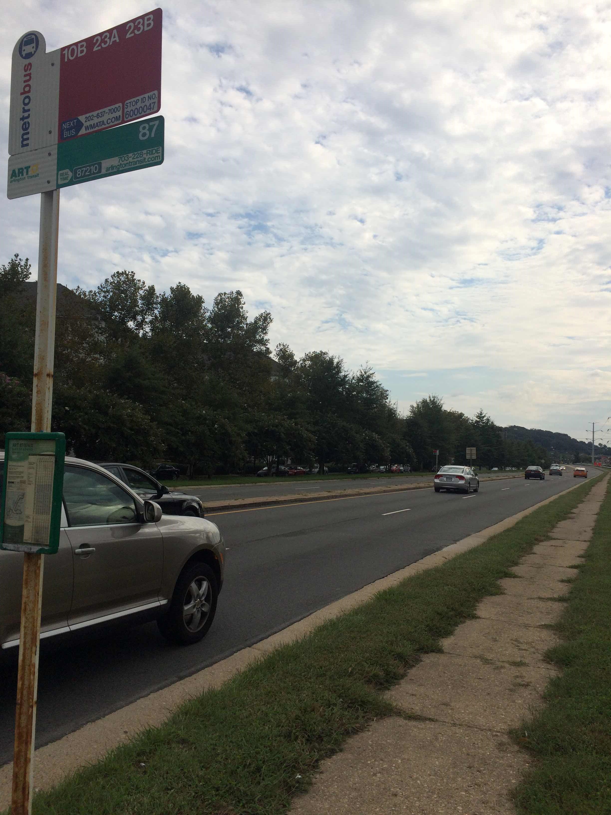 Taken by Samuel A.
See S Glebe Rd & S Wayne St stop, Arlington County, on the map
Public transit to S Glebe Rd & S Wayne St stop in Arlington County
Looking for directions to S Glebe Rd & S Wayne St in Arlington County, United States?
Download the Moovit App to find the current schedule and step-by-step directions for Bus, Metro or Train routes that pass through S Glebe Rd & S Wayne St.
Looking for the nearest stops closest to S Glebe Rd & S Wayne St ? Check out this list of closest stops to your destination: S Glebe Rd & S Troy St; 26th Rd S Eb @ S Glebe Rd MB; Valley Dr & Tennessee Av; Crystal City.
Bus: 87, A70, A12, 84, 36A, 36B, 103.Train: MANASSAS LINE, FREDERICKSBURG LINE.Metro: BLUE, YELLOW.
We make riding on public transit to S Glebe Rd & S Wayne St easy, which is why over 1.7 billion users, including users in Arlington County trust Moovit as the best app for public transit.
Use the app to navigate to popular places including to the airport, hospital, stadium, grocery store, mall, coffee shop, school, college, and university.
The first line to this stop is A70, at 5:55 AM, and the last line is A70 at 12:49 AM.
South Glebe Road, Arlington, VA, USA
This stop serves WMATA’s lines
- S Glebe Rd & S Troy St,
- 26th Rd S Eb @ S Glebe Rd MB,
- Valley Dr & Tennessee Av
Bus stops near S Glebe Rd & S Wayne St stop
- Crystal City
Metro station near S Glebe Rd & S Wayne St station
- Crystal City
Train station near S Glebe Rd & S Wayne St station
- Frederick Rd & Germantown Rd,
- 16 St Nw+Oak St NW,
- Edgewood Train Station,
- Old Georgetown Rd & Cordell Ave,
- Cumberland Amtrak Station,
- Southern Av Se+S Capitol St SW,
- Martin Luther King Jr Ave And U Street SE,
- 13 St Se+Southern Av SE,
- Sheriff Rd Ne+46 St NE,
- Manchester Rd & @8904,
- The Sherwood at Southern Towers,
- Cherry Ln / Laurel Pl (Westbound),
- Metro Center,
- Dorsey Hall Dr / Dorsey Hall Professional Park,
- 11 St Nw+New York Av NW,
- Calvert St Nw+Connecticut Av NW,
- N Capitol St Nw+Adams St NW,
- Sligo Creek Pkwy & Colesville Rd,
- Knoll Dr / Columbia Medical Plan,
- Falls Rd & Falls Chapel Way
Popular public transit stations in Arlington County
Get around Arlington County by public transit!
Traveling around Arlington County has never been so easy. See step by step directions as you travel to any attraction, street or major public transit station. View bus and train schedules, arrival times, service alerts and detailed routes on a map, so you know exactly how to get to anywhere in Arlington County.
When traveling to any destination around Arlington County use Moovit's Live Directions with Get Off Notifications to know exactly where and how far to walk, how long to wait for your line, and how many stops are left. Moovit will alert you when it's time to get off — no need to constantly re-check whether yours is the next stop.
Wondering how to use public transit in Arlington County or how to pay for public transit in Arlington County? Moovit public transit app can help you navigate your way with public transit easily, and at minimum cost. It includes public transit fees, ticket prices, and costs. Looking for a map of Arlington County public transit lines? Moovit public transit app shows all public transit maps in Arlington County with all Bus, Train, Metro, Light Rail and Ferry routes and stops on an interactive map.
Washington, D.C. - Baltimore, MD has 5 transit type(s), including: Bus, Train, Metro, Light Rail and Ferry, operated by several transit agencies, including WMATA, Montgomery County Ride On, Fairfax Connector, Prince Georges County's TheBus, PRTC, DASH - Alexandria, Arlington Transit (ART), RTA of Central Maryland, MDOT MTA, MDOT MTA Light RailLink, MDOT MTA Commuter Bus, MDOT MTA Local Bus, FXBGO!, Virginia Railway Express (VRE) and MARC