Sacred Hrt CH stop - Sunday schedule
| Line | Direction | Time |
|---|---|---|
| D2 | Drogheda | 7:33 AM |
| D1 | Drogheda | 8:03 AM |
| D2 | Drogheda | 8:33 AM |
| D1 | Drogheda | 9:03 AM |
| D2 | Drogheda | 9:33 AM |
| D1 | Drogheda | 10:03 AM |
| D2 | Drogheda | 10:33 AM |
| D1 | Drogheda | 11:03 AM |
| D2 | Drogheda | 11:33 AM |
| D1 | Drogheda | 11:48 AM |
| D2 | Drogheda | 12:03 PM |
| D1 | Drogheda | 12:18 PM |
| D2 | Drogheda | 12:33 PM |
| D1 | Drogheda | 12:48 PM |
| D2 | Drogheda | 1:03 PM |
| D1 | Drogheda | 1:18 PM |
| D2 | Drogheda | 1:33 PM |
| D1 | Drogheda | 1:48 PM |
| D2 | Drogheda | 2:03 PM |
| D1 | Drogheda | 2:18 PM |
| D2 | Drogheda | 2:33 PM |
| D1 | Drogheda | 2:48 PM |
| D2 | Drogheda | 3:03 PM |
| D1 | Drogheda | 3:18 PM |
| D2 | Drogheda | 3:33 PM |
Directions to Sacred Hrt CH stop (Laytown) with public transit
The following transit lines have routes that pass near Sacred Hrt CH
 Bus: 910, D1, D2, 912.
- Train: RAIL.
How to get to Sacred Hrt CH stop by bus?
Click on the bus route to see step by step directions with maps, line arrival times and updated time schedules.
How to get to Sacred Hrt CH stop by train?
Click on the train route to see step by step directions with maps, line arrival times and updated time schedules.
Bus stops near Sacred Hrt CH stop in Laytown
- Sacred Hrt CH, 1 min walk,
- Church Road, 6 min walk,
Train stations near Sacred Hrt CH station in Laytown
- Laytown, 20 min walk,
Bus lines to Sacred Hrt CH stop in Laytown
- D1, Laytown,
- D2, Drogheda,
- 910, Southgate Sc,
- 912, The Point,
What are the closest stations to Sacred Hrt CH?
The closest stations to Sacred Hrt CH are:
- Sacred Hrt CH stop is 30 meters away, 1 min walk.
- Church Road stop is 410 meters away, 6 min walk.
- Laytown station is 1565 meters away, 20 min walk.
Which bus lines stop near Sacred Hrt CH?
These bus lines stop near Sacred Hrt CH: 910, D1, D2.
Which train line stops near Sacred Hrt CH?
RAIL (Drogheda (Macbride)→Connolly)
What’s the nearest train station to Sacred Hrt CH in Laytown?
The nearest train station to Sacred Hrt CH in Laytown is Laytown. It’s a 20 min walk away.
What’s the nearest bus station to Sacred Hrt CH in Laytown?
The nearest bus station to Sacred Hrt CH in Laytown is Sacred Hrt CH. It’s a 1 min walk away.
What time is the first train to Sacred Hrt CH in Laytown?
The RAIL is the first train that goes to Sacred Hrt CH in Laytown. It stops nearby at 6:00 AM.
What time is the last train to Sacred Hrt CH in Laytown?
The RAIL is the last train that goes to Sacred Hrt CH in Laytown. It stops nearby at 12:46 AM.
What time is the first bus to Sacred Hrt CH in Laytown?
The D2 is the first bus that goes to Sacred Hrt CH in Laytown. It stops nearby at 5:36 AM.
What time is the last bus to Sacred Hrt CH in Laytown?
The D1 is the last bus that goes to Sacred Hrt CH in Laytown. It stops nearby at 12:40 AM.
Sacred Hrt CH station
 Taken by Anonymous
See Sacred Hrt CH stop, Laytown, on the map
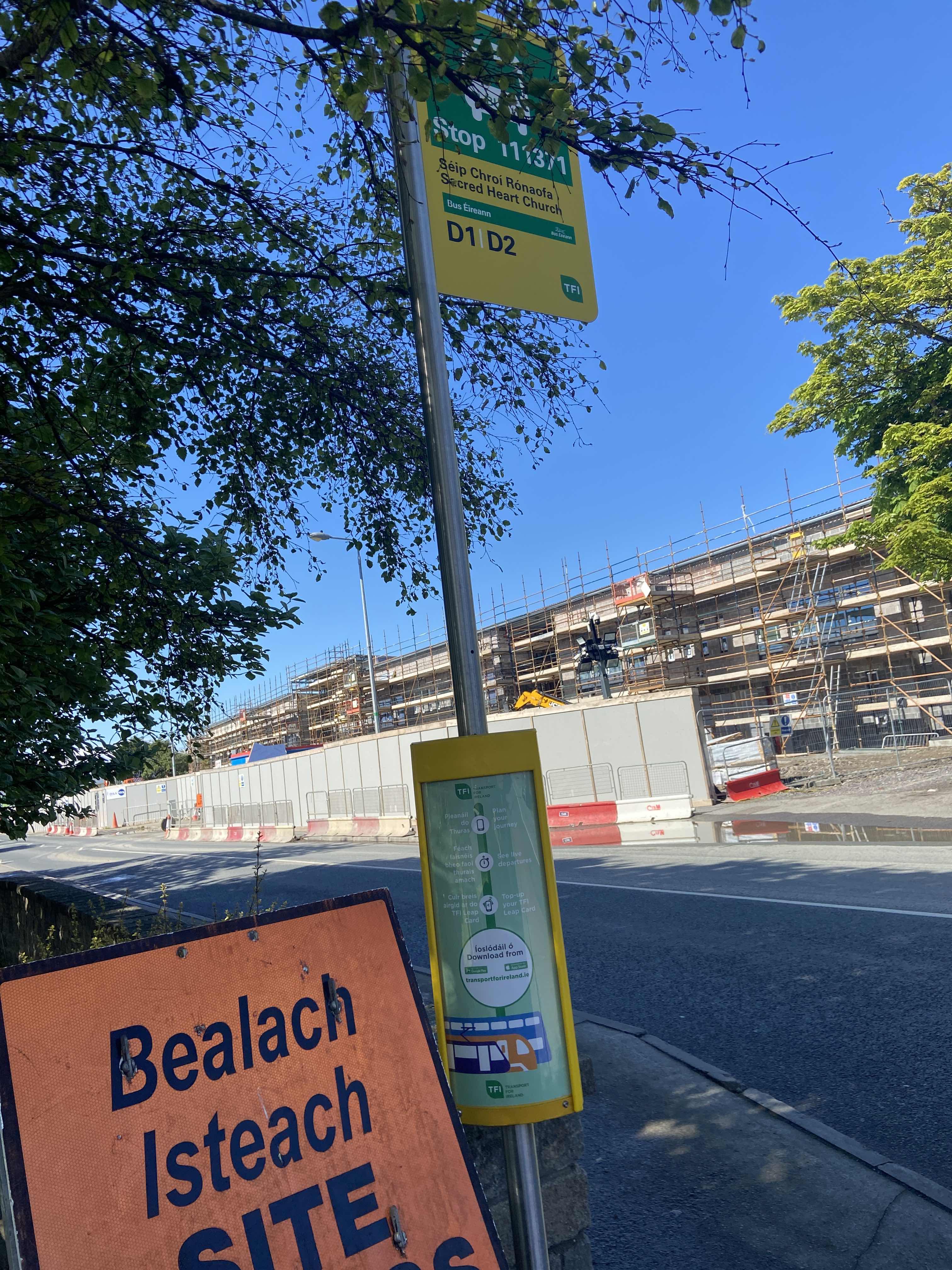
Public transit to Sacred Hrt CH stop (ID: 111371) in Laytown
Looking for directions to Sacred Hrt CH in Laytown, Ireland?
Download the Moovit App to find the current schedule and step-by-step directions for Bus or Train routes that pass through Sacred Hrt CH.
Looking for the nearest stops closest to Sacred Hrt CH ? Check out this list of closest stops to your destination: Sacred Hrt CH; Church Road; Laytown.
Bus: 910, D1, D2, 912.Train: RAIL.
We make riding on public transit to Sacred Hrt CH easy, which is why over 1.7 billion users, including users in Laytown trust Moovit as the best app for public transit.
Use the app to navigate to popular places including to the airport, hospital, stadium, grocery store, mall, coffee shop, school, college, and university.
Sacred Hrt CH stop’s code is 111371
The first line to this stop is D2, at 7:33 AM, and the last line is D2 at 12:33 AM.
This stop serves Bus Éireann’s lines
- Sacred Hrt CH,
- Church Road
Bus stops near Sacred Hrt CH stop
- Laytown
Train station near Sacred Hrt CH station
- Conyngham Road,
- Kill Lane,
- Goatstown Road,
- Castle Park,
- Eglinton Street,
- Church Lane,
- Brookville Crescent,
- Grangegorman,
- Glenageary Road,
- Slaney Road,
- Phibblestown Road,
- Watermill Road,
- Barberstown Cross,
- Baily Lighthouse,
- Foxdene Gardens,
- Dublin Busáras,
- Dunree Pk,
- Hewlett Packard,
- Riverside Ie,
- Shangan Road
Popular public transit stations in Laytown
Get around Laytown by public transit!
Traveling around Laytown has never been so easy. See step by step directions as you travel to any attraction, street or major public transit station. View bus and train schedules, arrival times, service alerts and detailed routes on a map, so you know exactly how to get to anywhere in Laytown.
When traveling to any destination around Laytown use Moovit's Live Directions with Get Off Notifications to know exactly where and how far to walk, how long to wait for your line, and how many stops are left. Moovit will alert you when it's time to get off — no need to constantly re-check whether yours is the next stop.
Wondering how to use public transit in Laytown or how to pay for public transit in Laytown? Moovit public transit app can help you navigate your way with public transit easily, and at minimum cost. It includes public transit fees, ticket prices, and costs. Looking for a map of Laytown public transit lines? Moovit public transit app shows all public transit maps in Laytown with all Bus, Train and Light Rail routes and stops on an interactive map.
Ireland has 3 transit type(s), including: Bus, Train and Light Rail, operated by several transit agencies, including Luas, Bus Átha Cliath – Dublin Bus, Bus Éireann, Go-Ahead Ireland, Nitelink, Dublin Bus, Citylink, City Direct, Kenneally's Bus Service, Aircoach, TFI Local Link Mayo, Irish Rail, Express Bus, JJ/Bernard Kavanagh, Dublin Coach and Kearns Transport