Directions to Safety City @ Druid Park (Baltimore) with public transportation
The following transit lines have routes that pass near Safety City @ Druid Park
 Bus: 91, 94, CITYLINK LIME, CITYLINK NAVY, CITYLINK GOLD.
- Train: NORTHEAST REGIONAL.
- Metro: METRO.
- Light Rail: LIGHT RAILLINK.
How to get to Safety City @ Druid Park by bus?
Click on the bus route to see step by step directions with maps, line arrival times and updated time schedules.
From I-695 @ Exit 18 (Liberty Rd/MD 26), Baltimore County
47 minFrom Walmart, Baltimore County
63 minFrom Maryland, Baltimore
53 minFrom I-695 @ Exit 26 (York Rd/MD 45), Baltimore County
79 minFrom I-695 Exit 29 (Loch Raven Blvd (MD 542)/Cromwell Bridge Rd), Baltimore County
92 minFrom Medstar Harbor Hospital, Baltimore
57 minFrom Horseshoe Casino Baltimore, Baltimore
52 minFrom Johns Hopkins Medicine at Green Spring Station, Baltimore County
58 minFrom Walmart Supercenter, Baltimore County
85 minFrom I-695 @ Exit 27 (Dulaney Valley Road/MD 146), Baltimore County
84 min
How to get to Safety City @ Druid Park by train?
Click on the train route to see step by step directions with maps, line arrival times and updated time schedules.
Bus stops near Safety City @ Druid Park in Baltimore
Metro station near Safety City @ Druid Park in Baltimore
- Mondawmin Metro, 11 min walk,VIEW
Light Rail stations near Safety City @ Druid Park in Baltimore
- North Avenue, 11 min walk,VIEW
Bus lines to Safety City @ Druid Park in Baltimore
What are the closest stations to Safety City @ Druid Park?
The closest stations to Safety City @ Druid Park are:
- Eutaw Pl & Brooks La is 288 yards away, 4 min walk.
- 36th St & Poole St is 431 yards away, 6 min walk.
- Mondawmin Metro is 885 yards away, 11 min walk.
- North Avenue is 914 yards away, 11 min walk.
Which bus lines stop near Safety City @ Druid Park?
These bus lines stop near Safety City @ Druid Park: 91, 94, CITYLINK LIME, CITYLINK NAVY.
Which train line stops near Safety City @ Druid Park?
NORTHEAST REGIONAL (Springfield)
Which light rail line stops near Safety City @ Druid Park?
LIGHT RAILLINK (Soutbound)
What’s the nearest light rail station to Safety City @ Druid Park in Baltimore?
The nearest light rail station to Safety City @ Druid Park in Baltimore is North Avenue. It’s a 11 min walk away.
What’s the nearest metro station to Safety City @ Druid Park in Baltimore?
The nearest metro station to Safety City @ Druid Park in Baltimore is Mondawmin Metro. It’s a 11 min walk away.
What’s the nearest bus station to Safety City @ Druid Park in Baltimore?
The nearest bus station to Safety City @ Druid Park in Baltimore is Eutaw Pl & Brooks La. It’s a 4 min walk away.
What time is the first light rail to Safety City @ Druid Park in Baltimore?
The LIGHT RAILLINK is the first light rail that goes to Safety City @ Druid Park in Baltimore. It stops nearby at 3:42 AM.
What time is the last light rail to Safety City @ Druid Park in Baltimore?
The LIGHT RAILLINK is the last light rail that goes to Safety City @ Druid Park in Baltimore. It stops nearby at 1:30 AM.
What time is the first metro to Safety City @ Druid Park in Baltimore?
The METRO is the first metro that goes to Safety City @ Druid Park in Baltimore. It stops nearby at 5:01 AM.
What time is the last metro to Safety City @ Druid Park in Baltimore?
The METRO is the last metro that goes to Safety City @ Druid Park in Baltimore. It stops nearby at 12:18 AM.
What time is the first bus to Safety City @ Druid Park in Baltimore?
The 91 is the first bus that goes to Safety City @ Druid Park in Baltimore. It stops nearby at 5:03 AM.
What time is the last bus to Safety City @ Druid Park in Baltimore?
The 91 is the last bus that goes to Safety City @ Druid Park in Baltimore. It stops nearby at 1:48 AM.
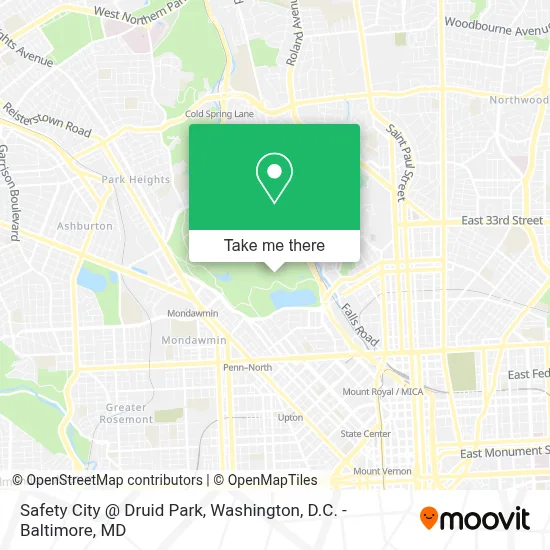
See Safety City @ Druid Park, Baltimore, on the map
Public Transit to Safety City @ Druid Park in Baltimore
Wondering how to get to Safety City @ Druid Park in Baltimore? Moovit helps you find the best way to get to Safety City @ Druid Park with step-by-step directions from the nearest public transit station.
Moovit provides free maps and live directions to help you navigate through your city. View schedules, routes, timetables, and find out how long does it take to get to Safety City @ Druid Park in real time.
Looking for the nearest stop or station to Safety City @ Druid Park? Check out this list of stops closest to your destination: Eutaw Pl & Brooks La; 36th St & Poole St; Mondawmin Metro; North Avenue.
Bus: 91, 94, CITYLINK LIME, CITYLINK NAVY, CITYLINK GOLD, 21, 22.Train: NORTHEAST REGIONAL.Metro: METRO.Light Rail: LIGHT RAILLINK.
Want to see if there’s another route that gets you there at an earlier time? Moovit helps you find alternative routes or times. Get directions from and directions to Safety City @ Druid Park easily from the Moovit App or Website.
We make riding to Safety City @ Druid Park easy, which is why over 1.7 million users, including users in Baltimore, trust Moovit as the best app for public transit. You don’t need to download an individual bus app or train app, Moovit is your all-in-one transit app that helps you find the best bus time or train time available.
For information on prices of bus, light rail and train, costs and ride fares to Safety City @ Druid Park, please check the Moovit app.
Use the app to navigate to popular places including to the airport, hospital, stadium, grocery store, mall, coffee shop, school, college, and university.
Safety City @ Druid Park Address: Druid Hill Park street in Baltimore
- Druid Hill Park,
- Clipper Mill Rd MD-25,
- The Maryland Zoo In Baltimore,
- I-83 Exit 7 (28th St / Druid Park Lake Dr),
- Dru Hill Dru Park Lake Dr,
- The Maryland Zoo - Lot A,
- Reservoir Hill,
- The Maryland Zoo In Baltimore,
- Janeric Arts,
- Hampden,
- Elision Solutions,
- Miracle on 34th Street,
- Taylor'd,
- Ekiben,
- Woodberry Light Rail Station,
- Hampden,
- Joseph Brown Funeral Home,
- Sisson Street Park,
- Joseph H Brown Funeral Home ,
- McCulloh St and North Ave
Places Near Safety City @ Druid Park (Baltimore)
- PG Mall, Prince George's County,
- Washington National Cathedral, Washington,
- Capital One Arena, Washington,
- Rock Creek Tennis Center, Washington,
- Amazon Hq2, Arlington County,
- National Theatre, Washington,
- Marriott Marquis Washington, DC, Washington,
- Pennsylvania Ave NW (3rd st and pennsylvania), Washington,
- Museum Of The Bible, Washington,
- Warner Theatre, Washington,
- Washington DC VA Medical Center, Washington,
- M&T Bank Stadium, Baltimore,
- Sibley Memorial Hospital, Washington,
- Westfield Montgomery Mall, Montgomery County,
- Georgetown, Washington,
- National Museum of African American History and Culture, Washington,
- The Anthem, Washington,
- Camden Yards, Baltimore,
- Basilica of the National Shrine, Washington,
- National Zoo, Washington
How to get to popular places in Washington, D.C. - Baltimore, MD with public transit
Get around Baltimore by public transit!
Traveling around Baltimore has never been so easy. See step by step directions as you travel to any attraction, street or major public transit station. View bus and train schedules, arrival times, service alerts and detailed routes on a map, so you know exactly how to get to anywhere in Baltimore.
When traveling to any destination around Baltimore use Moovit's Live Directions with Get Off Notifications to know exactly where and how far to walk, how long to wait for your line, and how many stops are left. Moovit will alert you when it's time to get off — no need to constantly re-check whether yours is the next stop.
Wondering how to use public transit in Baltimore or how to pay for public transit in Baltimore? Moovit public transit app can help you navigate your way with public transit easily, and at minimum cost. It includes public transit fees, ticket prices, and costs. Looking for a map of Baltimore public transit lines? Moovit public transit app shows all public transit maps in Baltimore with all Bus, Train, Metro, Light Rail and Ferry routes and stops on an interactive map.
Washington, D.C. - Baltimore, MD has 5 transit type(s), including: Bus, Train, Metro, Light Rail and Ferry, operated by several transit agencies, including WMATA, Montgomery County Ride On, Fairfax Connector, TheBus, PRTC, DASH - Alexandria, Arlington Transit (ART), RTA of Central Maryland, MDOT MTA, MDOT MTA Light RailLink, MDOT MTA Commuter Bus, MDOT MTA Local Bus, FXBGO!, Virginia Railway Express (VRE) and MARC