How to get to Safeway Store #1689 by bus?
Click on the bus route to see step by step directions with maps, line arrival times and updated time schedules.
From Fair Oaks Mall, Fairfax County
64 minFrom Lake Fairfax Park, Fairfax County
56 minFrom Ashby Ponds, Loudoun County
77 minFrom Inova Fair Oaks Hospital, Fairfax County
51 minFrom National Reconnaissance Office, Fairfax County
61 minFrom Chantilly, VA, Fairfax County
49 minFrom King Spa, Loudoun County
186 minFrom Dulles Expo Center, Fairfax County
73 minFrom Oakton, Virginia, Fairfax County
115 minFrom Hollywood Casino at Charles Town Races, Fairfax County
56 min
Bus stops near Safeway Store #1689 in Fairfax County
Metro station near Safeway Store #1689 in Fairfax County
- Herndon, 47 min walk,VIEW
Bus lines to Safeway Store #1689 in Fairfax County
What are the closest stations to Safeway Store #1689?
The closest stations to Safeway Store #1689 are:
- Elden St @ Post Rd is 9 yards away, 1 min walk.
- Herndon Pkwy @ Cordell Way is 418 yards away, 5 min walk.
- Stop 4 is 740 yards away, 9 min walk.
- Grove Street @ Grant St is 748 yards away, 10 min walk.
- Herndon is 3975 yards away, 47 min walk.
Which bus lines stop near Safeway Store #1689?
These bus lines stop near Safeway Store #1689: 605, 921, 924, 950, RIBS5.
Which metro line stops near Safeway Store #1689?
SILVER (Ashburn)
What’s the nearest bus station to Safeway Store #1689 in Fairfax County?
The nearest bus station to Safeway Store #1689 in Fairfax County is Elden St @ Post Rd. It’s a 1 min walk away.
What time is the first metro to Safeway Store #1689 in Fairfax County?
The SILVER is the first metro that goes to Safeway Store #1689 in Fairfax County. It stops nearby at 5:00 AM.
What time is the last metro to Safeway Store #1689 in Fairfax County?
The SILVER is the last metro that goes to Safeway Store #1689 in Fairfax County. It stops nearby at 12:58 AM.
What time is the first bus to Safeway Store #1689 in Fairfax County?
The 9999A is the first bus that goes to Safeway Store #1689 in Fairfax County. It stops nearby at 3:04 AM.
What time is the last bus to Safeway Store #1689 in Fairfax County?
The 9999A is the last bus that goes to Safeway Store #1689 in Fairfax County. It stops nearby at 2:50 AM.
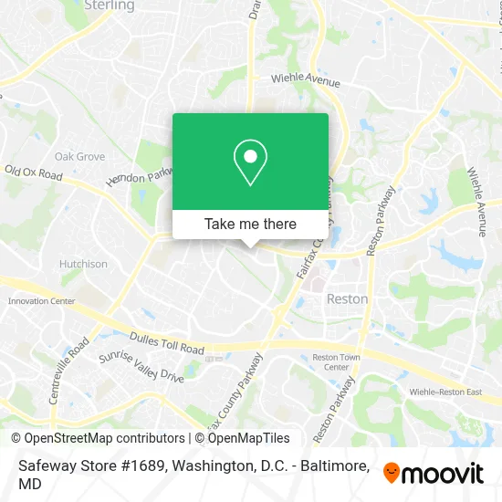
See Safeway Store #1689, Fairfax County, on the map
Public Transit to Safeway Store #1689 in Fairfax County
Wondering how to get to Safeway Store #1689 in Fairfax County? Moovit helps you find the best way to get to Safeway Store #1689 with step-by-step directions from the nearest public transit station.
Moovit provides free maps and live directions to help you navigate through your city. View schedules, routes, timetables, and find out how long does it take to get to Safeway Store #1689 in real time.
Looking for the nearest stop or station to Safeway Store #1689? Check out this list of stops closest to your destination: Elden St @ Post Rd; Herndon Pkwy @ Cordell Way; Stop 4; Grove Street @ Grant St; Herndon.
Bus: 605, 921, 924, 950, RIBS5, 552, 9999A.Metro: SILVER.
Want to see if there’s another route that gets you there at an earlier time? Moovit helps you find alternative routes or times. Get directions from and directions to Safeway Store #1689 easily from the Moovit App or Website.
We make riding to Safeway Store #1689 easy, which is why over 1.7 million users, including users in Fairfax County, trust Moovit as the best app for public transit. You don’t need to download an individual bus app or train app, Moovit is your all-in-one transit app that helps you find the best bus time or train time available.
For information on prices of bus and metro, costs and ride fares to Safeway Store #1689, please check the Moovit app.
Use the app to navigate to popular places including to the airport, hospital, stadium, grocery store, mall, coffee shop, school, college, and university.
Safeway Store #1689 Address: 413 Elden St street in Fairfax County
- Truist,
- Lotte Plaza Market - Herndon,
- Five Guys Burgers and Fries,
- The American Technical Institute,
- C&C Asian Wellness Spa,
- Seashell King Spa,
- Zapatat Herndon,
- Dr. Marc G. Plescia M.D.,
- Dr. Anita G. Rentz M.D.,
- Groos Distribution Llc,
- Magnetic Amor,
- Safe Space Sv,
- Tech Tutor Llc,
- Kc Wax Studio,
- Mattress Firm,
- The Rock,
- DHL Texas,
- Lotte Plaza Market,
- Family Immediate Care,
- Autohaus Herndon
Places Near Safeway Store #1689 (Fairfax County)
- Capital One Arena, Washington,
- Washington National Cathedral, Washington,
- The Anthem, Washington,
- PG Mall, Prince George's County,
- Pennsylvania Ave NW (3rd st and pennsylvania), Washington,
- Marriott Marquis Washington, DC, Washington,
- Sibley Memorial Hospital, Washington,
- Westfield Montgomery Mall, Montgomery County,
- Georgetown, Washington,
- Camden Yards, Baltimore,
- Basilica of the National Shrine, Washington,
- M&T Bank Stadium, Baltimore,
- Rock Creek Tennis Center, Washington,
- National Museum of African American History and Culture, Washington,
- National Theatre, Washington,
- National Zoo, Washington,
- Museum Of The Bible, Washington,
- Amazon Hq2, Arlington County,
- Washington DC VA Medical Center, Washington,
- Warner Theatre, Washington
How to get to popular places in Washington, D.C. - Baltimore, MD with public transit
Get around Fairfax County by public transit!
Traveling around Fairfax County has never been so easy. See step by step directions as you travel to any attraction, street or major public transit station. View bus and train schedules, arrival times, service alerts and detailed routes on a map, so you know exactly how to get to anywhere in Fairfax County.
When traveling to any destination around Fairfax County use Moovit's Live Directions with Get Off Notifications to know exactly where and how far to walk, how long to wait for your line, and how many stops are left. Moovit will alert you when it's time to get off — no need to constantly re-check whether yours is the next stop.
Wondering how to use public transit in Fairfax County or how to pay for public transit in Fairfax County? Moovit public transit app can help you navigate your way with public transit easily, and at minimum cost. It includes public transit fees, ticket prices, and costs. Looking for a map of Fairfax County public transit lines? Moovit public transit app shows all public transit maps in Fairfax County with all Bus, Train, Metro, Light Rail and Ferry routes and stops on an interactive map.
Washington, D.C. - Baltimore, MD has 5 transit type(s), including: Bus, Train, Metro, Light Rail and Ferry, operated by several transit agencies, including WMATA, Montgomery County Ride On, Fairfax Connector, TheBus, PRTC, DASH - Alexandria, Arlington Transit (ART), RTA of Central Maryland, MDOT MTA, MDOT MTA Light RailLink, MDOT MTA Commuter Bus, MDOT MTA Local Bus, FXBGO!, Virginia Railway Express (VRE) and MARC