Salem Comm College# stop - Monday schedule
| Line | Direction | Time |
|---|---|---|
| 468 | Carneys Point | 5:57 AM |
| 468 | Carneys Point | 6:56 AM |
| 402 | Phily Exp Via Brooklawn | 7:14 AM |
| 468 | Carneys Point Senior Apts | 8:16 AM |
| 402 | Philadelphia | 8:52 AM |
| 468 | Carneys Point Pnsville Twrs | 9:30 AM |
| 402 | Philadelphia | 9:52 AM |
| 468 | Carneys Point Pnsville Twrs Carneys Point Senior Apts | 10:44 AM |
| 468 | Carneys Point Pnsville Twrs | 11:59 AM |
| 468 | Carneys Point Pnsville Twrs Carneys Point Senior Apts | 1:14 PM |
| 402 | Philadelphia | 1:30 PM |
| 468 | Carneys Point Pnsville Twrs | 2:29 PM |
| 468 | Carneys Point Pnsville Twrs Carneys Point Senior Apts | 3:44 PM |
| 468 | Carneys Point Pnsville Twrs | 4:44 PM |
| 468 | Carneys Point | 6:00 PM |
| 402 | Philadelphia | 6:28 PM |
| 468 | Carneys Point | 6:55 PM |
| 468 | Carneys Point | 8:05 PM |
| 402 | Philadelphia | 8:52 PM |
| 402 | Philadelphia | 11:45 PM |
Directions to Salem Comm College# stop (Carneys Point) with public transit
The following transit lines have routes that pass near Salem Comm College#
 Bus: 402, 468.
How to get to Salem Comm College# stop by bus?
Click on the bus route to see step by step directions with maps, line arrival times and updated time schedules.
Bus stops near Salem Comm College# stop in Carneys Point
- Salem Comm College, 1 min walk,
Bus lines to Salem Comm College# stop in Carneys Point
- 402, Philadelphia,
- 468, Woodstown Pnsville Twrs,
What are the closest stations to Salem Comm College#?
The closest stations to Salem Comm College# are:
- Salem Comm College stop is 10 yards away, 1 min walk.
Which bus lines stop near Salem Comm College#?
These bus lines stop near Salem Comm College#: 402, 468.
What’s the nearest bus station to Salem Comm College# in Carneys Point?
The nearest bus station to Salem Comm College# in Carneys Point is Salem Comm College. It’s a 1 min walk away.
Salem Comm College# station
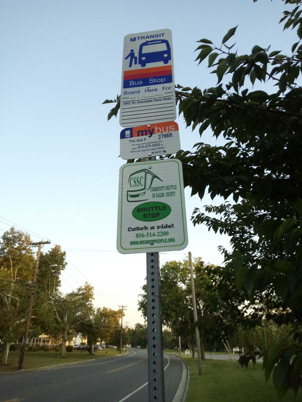 Taken by Anonymous
See Salem Comm College# stop, Carneys Point, on the map
Public transit to Salem Comm College# stop (ID: 27997) in Carneys Point
Looking for directions to Salem Comm College# in Carneys Point, United States?
Download the Moovit App to find the current schedule and step-by-step directions for Bus, Train or Metro routes that pass through Salem Comm College#.
Looking for the nearest stops closest to Salem Comm College# ? Check out this list of closest stops to your destination: Salem Comm College.
Bus: 402, 468.
We make riding on public transit to Salem Comm College# easy, which is why over 1.7 billion users, including users in Carneys Point trust Moovit as the best app for public transit.
Use the app to navigate to popular places including to the airport, hospital, stadium, grocery store, mall, coffee shop, school, college, and university.
Salem Comm College# stop’s code is 27997
The first line to this stop is 468, at 5:57 AM, and the last line is 402 at 11:45 PM.
435 Hollywood Avenue, Carneys Point, NJ, USA
This stop serves NJ Transit’s lines
- Salem Comm College
Bus stop near Salem Comm College# stop
- 11th St & Berks St,
- Hamilton Continuing Care Center,
- Pine St & 5th St ,
- 16th St & Callowhill St ,
- Broad St & Tioga St,
- Pennco Tech,
- Tioga St & B St ,
- Chestnut St & Broad St,
- Lombard St & 2nd St - Mbfs,
- Norristown Transit Center,
- Roosevelt Blvd & Devereaux St,
- Macdade Blvd & Morton Av - FS,
- Allegheny Av & 6th St,
- Cecil B Moore Av & 12th St ,
- Broad St & Poplar St,
- York Dauphin Station,
- Broad Street at Red Bank Avenue,
- Tasker Morris,
- Marshall Ln & Winks Ln - Mbfs,
- Ashton Rd & Willits Rd
Popular public transit stations in Carneys Point
Get around Carneys Point by public transit!
Traveling around Carneys Point has never been so easy. See step by step directions as you travel to any attraction, street or major public transit station. View bus and train schedules, arrival times, service alerts and detailed routes on a map, so you know exactly how to get to anywhere in Carneys Point.
When traveling to any destination around Carneys Point use Moovit's Live Directions with Get Off Notifications to know exactly where and how far to walk, how long to wait for your line, and how many stops are left. Moovit will alert you when it's time to get off — no need to constantly re-check whether yours is the next stop.
Wondering how to use public transit in Carneys Point or how to pay for public transit in Carneys Point? Moovit public transit app can help you navigate your way with public transit easily, and at minimum cost. It includes public transit fees, ticket prices, and costs. Looking for a map of Carneys Point public transit lines? Moovit public transit app shows all public transit maps in Carneys Point with all Bus, Train, Metro, Light Rail and Cable Car routes and stops on an interactive map.
Philadelphia has 5 transit type(s), including: Bus, Train, Metro, Light Rail and Cable Car, operated by several transit agencies, including SEPTA Subway, SEPTA Rail, SEPTA, SEPTA Trolley, NJ Transit Rail, NJ Transit, Port Authority Transit Corporation, Navy Yard, Penn Transit, Drexel University, Pottstown Area Rapid Transit (PART), Fullington Tours, Chescobus, Amtrak and Greyhound-us