Directions to Sam Meshkinfam, do (Lynchburg) with public transportation
The following transit lines have routes that pass near Sam Meshkinfam, do
 Bus: 1A, 1B, 8, GREYHOUND US0600.
- Train: NORTHEAST REGIONAL, CRESCENT.
How to get to Sam Meshkinfam, do by bus?
Click on the bus route to see step by step directions with maps, line arrival times and updated time schedules.
How to get to Sam Meshkinfam, do by train?
Click on the train route to see step by step directions with maps, line arrival times and updated time schedules.
Bus stops near Sam Meshkinfam, do in Lynchburg
Train station near Sam Meshkinfam, do in Lynchburg
- Lynchburg Station, 35 min walk,VIEW
What are the closest stations to Sam Meshkinfam, do?
The closest stations to Sam Meshkinfam, do are:
- Atherholt Rd./ Across From Cvs (Inbound) is 137 yards away, 2 min walk.
- Atherhold Rd./ Just Past Cvs is 190 yards away, 3 min walk.
- Langhorne Rd. & Altherholt Rd. (Inbound) is 269 yards away, 4 min walk.
- Lynchburg Station is 2893 yards away, 35 min walk.
Which bus lines stop near Sam Meshkinfam, do?
These bus lines stop near Sam Meshkinfam, do: 1A, 1B, 8, GREYHOUND US0600.
Which train line stops near Sam Meshkinfam, do?
NORTHEAST REGIONAL (Roanoke)
What’s the nearest bus station to Sam Meshkinfam, do in Lynchburg?
The nearest bus station to Sam Meshkinfam, do in Lynchburg is Atherholt Rd./ Across From Cvs (Inbound). It’s a 2 min walk away.
What time is the first train to Sam Meshkinfam, do in Lynchburg?
The CRESCENT is the first train that goes to Sam Meshkinfam, do in Lynchburg. It stops nearby at 9:41 AM.
What time is the last train to Sam Meshkinfam, do in Lynchburg?
The CRESCENT is the last train that goes to Sam Meshkinfam, do in Lynchburg. It stops nearby at 10:16 PM.
What time is the first bus to Sam Meshkinfam, do in Lynchburg?
The 8 is the first bus that goes to Sam Meshkinfam, do in Lynchburg. It stops nearby at 5:08 AM.
What time is the last bus to Sam Meshkinfam, do in Lynchburg?
The 8 is the last bus that goes to Sam Meshkinfam, do in Lynchburg. It stops nearby at 10:04 PM.
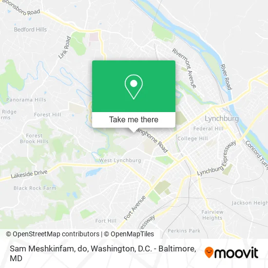
See Sam Meshkinfam, do, Lynchburg, on the map
Public Transit to Sam Meshkinfam, do in Lynchburg
Wondering how to get to Sam Meshkinfam, do in Lynchburg? Moovit helps you find the best way to get to Sam Meshkinfam, do with step-by-step directions from the nearest public transit station.
Moovit provides free maps and live directions to help you navigate through your city. View schedules, routes, timetables, and find out how long does it take to get to Sam Meshkinfam, do in real time.
Looking for the nearest stop or station to Sam Meshkinfam, do? Check out this list of stops closest to your destination: Atherholt Rd./ Across From Cvs (Inbound); Atherhold Rd./ Just Past Cvs; Langhorne Rd. & Altherholt Rd. (Inbound); Lynchburg Station.
Bus: 1A, 1B, 8, GREYHOUND US0600.Train: NORTHEAST REGIONAL, CRESCENT.
Want to see if there’s another route that gets you there at an earlier time? Moovit helps you find alternative routes or times. Get directions from and directions to Sam Meshkinfam, do easily from the Moovit App or Website.
We make riding to Sam Meshkinfam, do easy, which is why over 1.5 million users, including users in Lynchburg, trust Moovit as the best app for public transit. You don’t need to download an individual bus app or train app, Moovit is your all-in-one transit app that helps you find the best bus time or train time available.
For information on prices of bus and train, costs and ride fares to Sam Meshkinfam, do, please check the Moovit app.
Use the app to navigate to popular places including to the airport, hospital, stadium, grocery store, mall, coffee shop, school, college, and university.
Sam Meshkinfam, do Address: 2321 Atherholt Rd Lynchburg, VA 24501 street in Lynchburg
- Feinman-Clark Emt Plastic Surgery,
- Christie Pa Powers C,
- James Hengerer MD,
- Dr Jay M Cline MD,
- Samkon Gado MD,
- Courville Timothy,MD,
- Joseph L Hutchison MD,
- Blue Ridge Ear, Nose, And Throat,
- Blue Ridge,
- Trans-Comp International,
- FedEx,
- Massmutual,
- US Security Association,
- Central Virginia Asap,
- Gary Case and Company,
- Piedmont Community Health Plan,
- American Cancer Society,
- Couples & Kids Counseling Center,
- Robert N Sorenson DDS,
- Blair Marketing
Places Near Sam Meshkinfam, do (Lynchburg)
- Marriott Marquis Washington, DC, Washington,
- National Theatre, Washington,
- M&T Bank Stadium, Baltimore,
- Rock Creek Tennis Center, Washington,
- Amazon Hq2, Arlington County,
- Museum Of The Bible, Washington,
- Basilica of the National Shrine, Washington,
- Georgetown, Washington,
- Warner Theatre, Washington,
- The Anthem, Washington,
- Camden Yards, Baltimore,
- PG Mall, Prince George's County,
- Sibley Memorial Hospital, Washington,
- National Museum of African American History and Culture, Washington,
- Pennsylvania Ave NW (3rd st and pennsylvania), Washington,
- Washington National Cathedral, Washington,
- National Zoo, Washington,
- Capital One Arena, Washington,
- Washington DC VA Medical Center, Washington,
- Westfield Montgomery Mall, Montgomery County
How to get to popular places in Washington, D.C. - Baltimore, MD with public transit
Get around Lynchburg by public transit!
Traveling around Lynchburg has never been so easy. See step by step directions as you travel to any attraction, street or major public transit station. View bus and train schedules, arrival times, service alerts and detailed routes on a map, so you know exactly how to get to anywhere in Lynchburg.
When traveling to any destination around Lynchburg use Moovit's Live Directions with Get Off Notifications to know exactly where and how far to walk, how long to wait for your line, and how many stops are left. Moovit will alert you when it's time to get off — no need to constantly re-check whether yours is the next stop.
Wondering how to use public transit in Lynchburg or how to pay for public transit in Lynchburg? Moovit public transit app can help you navigate your way with public transit easily, and at minimum cost. It includes public transit fees, ticket prices, and costs. Looking for a map of Lynchburg public transit lines? Moovit public transit app shows all public transit maps in Lynchburg with all Bus, Train, Metro, Light Rail and Ferry routes and stops on an interactive map.
Washington, D.C. - Baltimore, MD has 5 transit type(s), including: Bus, Train, Metro, Light Rail and Ferry, operated by several transit agencies, including WMATA, Montgomery County Ride On, Fairfax Connector, TheBus, PRTC, DASH - Alexandria, Arlington Transit (ART), RTA of Central Maryland, MDOT MTA, MDOT MTA Light RailLink, MDOT MTA Commuter Bus, MDOT MTA Local Bus, FXBGO!, Virginia Railway Express (VRE) and MARC