How to get to Sam's Front End Alignment by bus?
Click on the bus route to see step by step directions with maps, line arrival times and updated time schedules.
From Lorton, VA - Amtrak Auto Train Station (LOR), Fairfax County
226 minFrom Rose Gaming Resort, Prince William County
236 minFrom Potomac Mills Mall, Prince William County
211 minFrom Busch Gardens Williamsburg (Employee Parking Lot), James City County
152 minFrom Lorton, VA, Fairfax County
220 minFrom UVA Hospital Medical Center, Charlottesville
300 minFrom Woodbridge, VA, Prince William County
155 minFrom Amazon Fulfillment Center-Ric3, Richmond
47 min
Bus stops near Sam's Front End Alignment in Richmond
Train station near Sam's Front End Alignment in Richmond
- Pathrichmond Main Street Amtrak Station, 49 min walk,VIEW
Bus lines to Sam's Front End Alignment in Richmond
What are the closest stations to Sam's Front End Alignment?
The closest stations to Sam's Front End Alignment are:
- Hull + Blake Lane is 97 yards away, 2 min walk.
- Broad Rock + Holly Springs is 273 yards away, 4 min walk.
- Pathrichmond Main Street Amtrak Station is 4199 yards away, 49 min walk.
Which bus lines stop near Sam's Front End Alignment?
These bus lines stop near Sam's Front End Alignment: 1A, 1B.
What’s the nearest bus station to Sam's Front End Alignment in Richmond?
The nearest bus station to Sam's Front End Alignment in Richmond is Hull + Blake Lane. It’s a 2 min walk away.
What time is the first train to Sam's Front End Alignment in Richmond?
The NORTHEAST REGIONAL is the first train that goes to Sam's Front End Alignment in Richmond. It stops nearby at 5:19 AM.
What time is the last train to Sam's Front End Alignment in Richmond?
The NORTHEAST REGIONAL is the last train that goes to Sam's Front End Alignment in Richmond. It stops nearby at 6:52 PM.
What time is the first bus to Sam's Front End Alignment in Richmond?
The 2C is the first bus that goes to Sam's Front End Alignment in Richmond. It stops nearby at 5:14 AM.
What time is the last bus to Sam's Front End Alignment in Richmond?
The 2C is the last bus that goes to Sam's Front End Alignment in Richmond. It stops nearby at 1:14 AM.
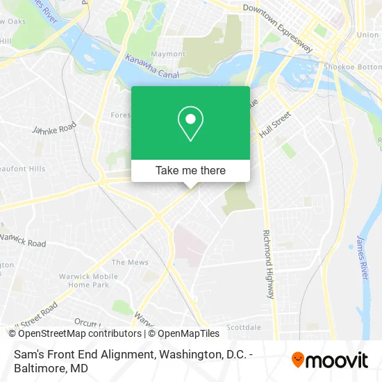
See Sam's Front End Alignment, Richmond, on the map
Public Transit to Sam's Front End Alignment in Richmond
Wondering how to get to Sam's Front End Alignment in Richmond? Moovit helps you find the best way to get to Sam's Front End Alignment with step-by-step directions from the nearest public transit station.
Moovit provides free maps and live directions to help you navigate through your city. View schedules, routes, timetables, and find out how long does it take to get to Sam's Front End Alignment in real time.
Looking for the nearest stop or station to Sam's Front End Alignment? Check out this list of stops closest to your destination: Hull + Blake Lane; Broad Rock + Holly Springs; Pathrichmond Main Street Amtrak Station.
Bus: 1A, 1B, 1C, 2C, 87.Train: NORTHEAST REGIONAL.
Want to see if there’s another route that gets you there at an earlier time? Moovit helps you find alternative routes or times. Get directions from and directions to Sam's Front End Alignment easily from the Moovit App or Website.
We make riding to Sam's Front End Alignment easy, which is why over 1.5 million users, including users in Richmond, trust Moovit as the best app for public transit. You don’t need to download an individual bus app or train app, Moovit is your all-in-one transit app that helps you find the best bus time or train time available.
For information on prices of bus and train, costs and ride fares to Sam's Front End Alignment, please check the Moovit app.
Use the app to navigate to popular places including to the airport, hospital, stadium, grocery store, mall, coffee shop, school, college, and university.
Sam's Front End Alignment Address: 3200 Hull St Richmond, VA 23224 street in Richmond
- Emmanuel Restaurant,
- Emmanuel Restaurant Mexican Mix,
- Kids First Daycare & Learning Center,
- Select Auto Group,
- Continental Bail Bond Agency,
- National Tire & Battery,
- Venning,
- Virginia Law Center,
- Emperial Motorsports,
- Dodson Pest Control,
- WCLM Radio,
- A 2 Z Autobody and Paint Services,
- Sanco Rebuilders,
- Holy Sncty CH of the LRD JSS Christ,
- Yme Landscape,
- Saia Motorfreight,
- American Tire Distribution,
- S T T C,
- Bernard's Auto Repair & Parts,
- Soaring Adventure of America
Places Near Sam's Front End Alignment (Richmond)
- National Zoo, Washington,
- PG Mall, Prince George's County,
- Amazon Hq2, Arlington County,
- Pennsylvania Ave NW (3rd st and pennsylvania), Washington,
- Camden Yards, Baltimore,
- Marriott Marquis Washington, DC, Washington,
- Washington National Cathedral, Washington,
- Westfield Montgomery Mall, Montgomery County,
- Warner Theatre, Washington,
- Georgetown, Washington,
- M&T Bank Stadium, Baltimore,
- Museum Of The Bible, Washington,
- Capital One Arena, Washington,
- National Museum of African American History and Culture, Washington,
- The Anthem, Washington,
- Rock Creek Tennis Center, Washington,
- Basilica of the National Shrine, Washington,
- Sibley Memorial Hospital, Washington,
- National Theatre, Washington,
- Washington DC VA Medical Center, Washington
How to get to popular places in Washington, D.C. - Baltimore, MD with public transit
Get around Richmond by public transit!
Traveling around Richmond has never been so easy. See step by step directions as you travel to any attraction, street or major public transit station. View bus and train schedules, arrival times, service alerts and detailed routes on a map, so you know exactly how to get to anywhere in Richmond.
When traveling to any destination around Richmond use Moovit's Live Directions with Get Off Notifications to know exactly where and how far to walk, how long to wait for your line, and how many stops are left. Moovit will alert you when it's time to get off — no need to constantly re-check whether yours is the next stop.
Wondering how to use public transit in Richmond or how to pay for public transit in Richmond? Moovit public transit app can help you navigate your way with public transit easily, and at minimum cost. It includes public transit fees, ticket prices, and costs. Looking for a map of Richmond public transit lines? Moovit public transit app shows all public transit maps in Richmond with all Bus, Train, Metro, Light Rail and Ferry routes and stops on an interactive map.
Washington, D.C. - Baltimore, MD has 5 transit type(s), including: Bus, Train, Metro, Light Rail and Ferry, operated by several transit agencies, including WMATA, Montgomery County Ride On, Fairfax Connector, TheBus, PRTC, DASH - Alexandria, Arlington Transit (ART), RTA of Central Maryland, MDOT MTA, MDOT MTA Light RailLink, MDOT MTA Commuter Bus, MDOT MTA Local Bus, FXBGO!, Virginia Railway Express (VRE) and MARC