How to get to Sammythecarplug by bus?
Click on the bus route to see step by step directions with maps, line arrival times and updated time schedules.
From Harry S. Truman Building, Washington
84 minFrom Washington DC VA Medical Center, Washington
86 minFrom Arlington, VA, Arlington County
105 minFrom The Exorcist Steps, Washington
84 minFrom VA Medical Center-Washington, Washington
86 minFrom United States Mint, Washington
63 minFrom Four Seasons Hotel Washington DC, Washington
69 minFrom Exorcist Stairs, Washington
81 minFrom Old Ebbitt Grill, Washington
63 minFrom The World Bank, Washington
65 min
How to get to Sammythecarplug by metro?
Click on the metro route to see step by step directions with maps, line arrival times and updated time schedules.
From Harry S. Truman Building, Washington
49 minFrom Washington DC VA Medical Center, Washington
67 minFrom Arlington, VA, Arlington County
45 minFrom The Exorcist Steps, Washington
55 minFrom VA Medical Center-Washington, Washington
67 minFrom United States Mint, Washington
30 minFrom Four Seasons Hotel Washington DC, Washington
47 minFrom Exorcist Stairs, Washington
58 minFrom Old Ebbitt Grill, Washington
37 minFrom The World Bank, Washington
40 min
Bus stops near Sammythecarplug in Washington
Metro station near Sammythecarplug in Washington
- Naylor Road, 30 min walk,VIEW
Bus lines to Sammythecarplug in Washington
What are the closest stations to Sammythecarplug?
The closest stations to Sammythecarplug are:
- Valley Av Se+13 St SE is 8 yards away, 1 min walk.
- 13 St Se+Trenton Pl SE is 493 yards away, 6 min walk.
- Wheeler Rd Se+Mississippi Av SE is 595 yards away, 7 min walk.
- Naylor Road is 2477 yards away, 30 min walk.
Which bus lines stop near Sammythecarplug?
These bus lines stop near Sammythecarplug: C27, C29.
Which metro line stops near Sammythecarplug?
GREEN (Branch Av)
What’s the nearest metro station to Sammythecarplug in Washington?
The nearest metro station to Sammythecarplug in Washington is Naylor Road. It’s a 30 min walk away.
What’s the nearest bus station to Sammythecarplug in Washington?
The nearest bus station to Sammythecarplug in Washington is Valley Av Se+13 St SE. It’s a 1 min walk away.
What time is the first metro to Sammythecarplug in Washington?
The GREEN is the first metro that goes to Sammythecarplug in Washington. It stops nearby at 5:06 AM.
What time is the last metro to Sammythecarplug in Washington?
The GREEN is the last metro that goes to Sammythecarplug in Washington. It stops nearby at 12:28 AM.
What time is the first bus to Sammythecarplug in Washington?
The C13 is the first bus that goes to Sammythecarplug in Washington. It stops nearby at 3:02 AM.
What time is the last bus to Sammythecarplug in Washington?
The C13 is the last bus that goes to Sammythecarplug in Washington. It stops nearby at 3:02 AM.
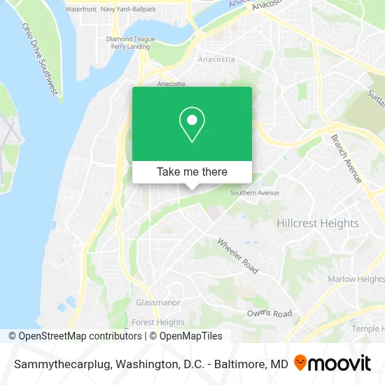
See Sammythecarplug, Washington, on the map
Public Transit to Sammythecarplug in Washington
Wondering how to get to Sammythecarplug in Washington? Moovit helps you find the best way to get to Sammythecarplug with step-by-step directions from the nearest public transit station.
Moovit provides free maps and live directions to help you navigate through your city. View schedules, routes, timetables, and find out how long does it take to get to Sammythecarplug in real time.
Looking for the nearest stop or station to Sammythecarplug? Check out this list of stops closest to your destination: Valley Av Se+13 St SE; 13 St Se+Trenton Pl SE; Wheeler Rd Se+Mississippi Av SE; Naylor Road.
Bus: C27, C29, C13.Metro: GREEN.
Want to see if there’s another route that gets you there at an earlier time? Moovit helps you find alternative routes or times. Get directions from and directions to Sammythecarplug easily from the Moovit App or Website.
We make riding to Sammythecarplug easy, which is why over 1.7 million users, including users in Washington, trust Moovit as the best app for public transit. You don’t need to download an individual bus app or train app, Moovit is your all-in-one transit app that helps you find the best bus time or train time available.
For information on prices of metro and bus, costs and ride fares to Sammythecarplug, please check the Moovit app.
Use the app to navigate to popular places including to the airport, hospital, stadium, grocery store, mall, coffee shop, school, college, and university.
Sammythecarplug Address: 1200 Mississippi Ave SE street in Washington
- Yuki Agency,
- William O. Lockridge Baseball Field,
- Oak Hill,
- Oak Hill Apartments (Brooks Oak Hill Properties),
- Mary Church Terrell Elementary,
- Adenike-Kayode Fabunmi International Foundation,
- Oluwakemi Aje Md,
- Broccoli City Festival,
- Whitman-Walker Max Robinson Pharmacy,
- Myrliya L. Kusumadharagowda,
- Metro-Congress Heights,
- 1201 Sycamore Dr SE Parking,
- First National Bank Atm,
- Congress Heights Metro Station,
- Turner at Green Elementary School,
- Malcolm X Elementary School,
- Serenity Rehab And Health,
- National Collegiate Preparatory Pchs,
- Capital City Sleep Center,
- Hart Middle School
Places Near Sammythecarplug (Washington)
- Amazon Hq2, Arlington County,
- Marriott Marquis Washington, DC, Washington,
- Rock Creek Tennis Center, Washington,
- Westfield Montgomery Mall, Montgomery County,
- National Theatre, Washington,
- Capital One Arena, Washington,
- Washington DC VA Medical Center, Washington,
- M&T Bank Stadium, Baltimore,
- Warner Theatre, Washington,
- Georgetown, Washington,
- National Museum of African American History and Culture, Washington,
- Pennsylvania Ave NW (3rd st and pennsylvania), Washington,
- Camden Yards, Baltimore,
- Sibley Memorial Hospital, Washington,
- Museum Of The Bible, Washington,
- Washington National Cathedral, Washington,
- National Zoo, Washington,
- Basilica of the National Shrine, Washington,
- PG Mall, Prince George's County,
- The Anthem, Washington
How to get to popular places in Washington, D.C. - Baltimore, MD with public transit
Get around Washington by public transit!
Traveling around Washington has never been so easy. See step by step directions as you travel to any attraction, street or major public transit station. View bus and train schedules, arrival times, service alerts and detailed routes on a map, so you know exactly how to get to anywhere in Washington.
When traveling to any destination around Washington use Moovit's Live Directions with Get Off Notifications to know exactly where and how far to walk, how long to wait for your line, and how many stops are left. Moovit will alert you when it's time to get off — no need to constantly re-check whether yours is the next stop.
Wondering how to use public transit in Washington or how to pay for public transit in Washington? Moovit public transit app can help you navigate your way with public transit easily, and at minimum cost. It includes public transit fees, ticket prices, and costs. Looking for a map of Washington public transit lines? Moovit public transit app shows all public transit maps in Washington with all Bus, Train, Metro, Light Rail and Ferry routes and stops on an interactive map.
Washington, D.C. - Baltimore, MD has 5 transit type(s), including: Bus, Train, Metro, Light Rail and Ferry, operated by several transit agencies, including WMATA, Montgomery County Ride On, Fairfax Connector, TheBus, PRTC, DASH - Alexandria, Arlington Transit (ART), RTA of Central Maryland, MDOT MTA, MDOT MTA Light RailLink, MDOT MTA Commuter Bus, MDOT MTA Local Bus, FXBGO!, Virginia Railway Express (VRE) and MARC