How to get to Sandy Spring Bank by bus?
Click on the bus route to see step by step directions with maps, line arrival times and updated time schedules.
From Laurel MD-195, Montgomery County
87 minFrom Charles Herbert Flowers High School, Prince George's County
105 minFrom Landover, Maryland, Prince George's County
85 minFrom Prince George's Plaza Metro Station, Prince George's County
42 minFrom Allstate Insurance Agent: Azqa Goraya, Prince George's County
81 minFrom Walmart, Washington
78 minFrom College Park Marriott Hotel & Conference Center, Prince George's County
37 minFrom Bowie, MD, Prince George's County
55 minFrom Columbia MD-195, Montgomery County
89 minFrom Walmart Supercenter Fort Totten - Riggs Rd NE, Washington
78 min
How to get to Sandy Spring Bank by train?
Click on the train route to see step by step directions with maps, line arrival times and updated time schedules.
How to get to Sandy Spring Bank by metro?
Click on the metro route to see step by step directions with maps, line arrival times and updated time schedules.
From Laurel MD-195, Montgomery County
48 minFrom Landover, Maryland, Prince George's County
80 minFrom Prince George's Plaza Metro Station, Prince George's County
31 minFrom Allstate Insurance Agent: Azqa Goraya, Prince George's County
58 minFrom Walmart, Washington
47 minFrom Columbia MD-195, Montgomery County
51 minFrom Walmart Supercenter Fort Totten - Riggs Rd NE, Washington
47 min
Bus stops near Sandy Spring Bank in Prince George's County
Metro station near Sandy Spring Bank in Prince George's County
- Greenbelt, 37 min walk,VIEW
Bus lines to Sandy Spring Bank in Prince George's County
What are the closest stations to Sandy Spring Bank?
The closest stations to Sandy Spring Bank are:
- Ivy Ln+6303 is 141 yards away, 2 min walk.
- Cherrywood Ln & Ivy Lane is 231 yards away, 3 min walk.
- Springhill Dr + Cherrywood Terr is 1366 yards away, 17 min walk.
- Springhill Dr & Cherrywood Terr is 1382 yards away, 17 min walk.
- Greenbelt is 3144 yards away, 37 min walk.
Which bus lines stop near Sandy Spring Bank?
These bus lines stop near Sandy Spring Bank: 302, P12, P21.
Which train line stops near Sandy Spring Bank?
MARC (Inbound - Camden)
Which metro lines stop near Sandy Spring Bank?
These metro lines stop near Sandy Spring Bank: GREEN, YELLOW.
What’s the nearest bus station to Sandy Spring Bank in Prince George's County?
The nearest bus station to Sandy Spring Bank in Prince George's County is Ivy Ln+6303. It’s a 2 min walk away.
What time is the first metro to Sandy Spring Bank in Prince George's County?
The GREEN is the first metro that goes to Sandy Spring Bank in Prince George's County. It stops nearby at 4:59 AM.
What time is the last metro to Sandy Spring Bank in Prince George's County?
The GREEN is the last metro that goes to Sandy Spring Bank in Prince George's County. It stops nearby at 12:44 AM.
What time is the first train to Sandy Spring Bank in Prince George's County?
The MARC is the first train that goes to Sandy Spring Bank in Prince George's County. It stops nearby at 5:39 AM.
What time is the last train to Sandy Spring Bank in Prince George's County?
The MARC is the last train that goes to Sandy Spring Bank in Prince George's County. It stops nearby at 8:01 PM.
What time is the first bus to Sandy Spring Bank in Prince George's County?
The P14 is the first bus that goes to Sandy Spring Bank in Prince George's County. It stops nearby at 5:02 AM.
What time is the last bus to Sandy Spring Bank in Prince George's County?
The P14 is the last bus that goes to Sandy Spring Bank in Prince George's County. It stops nearby at 11:01 PM.
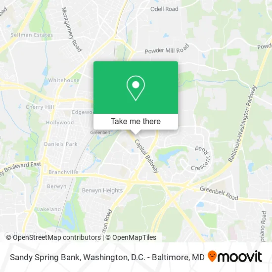
See Sandy Spring Bank, Prince George's County, on the map
Public Transit to Sandy Spring Bank in Prince George's County
Wondering how to get to Sandy Spring Bank in Prince George's County? Moovit helps you find the best way to get to Sandy Spring Bank with step-by-step directions from the nearest public transit station.
Moovit provides free maps and live directions to help you navigate through your city. View schedules, routes, timetables, and find out how long does it take to get to Sandy Spring Bank in real time.
Looking for the nearest stop or station to Sandy Spring Bank? Check out this list of stops closest to your destination: Ivy Ln+6303; Cherrywood Ln & Ivy Lane; Springhill Dr + Cherrywood Terr; Springhill Dr & Cherrywood Terr; Greenbelt.
Bus: 302, P12, P21, P22, P14.Train: MARC.Metro: GREEN, YELLOW, MARC.
Want to see if there’s another route that gets you there at an earlier time? Moovit helps you find alternative routes or times. Get directions from and directions to Sandy Spring Bank easily from the Moovit App or Website.
We make riding to Sandy Spring Bank easy, which is why over 1.5 million users, including users in Prince George's County, trust Moovit as the best app for public transit. You don’t need to download an individual bus app or train app, Moovit is your all-in-one transit app that helps you find the best bus time or train time available.
For information on prices of bus, metro and train, costs and ride fares to Sandy Spring Bank, please check the Moovit app.
Get to Sandy Spring Bank with public transit and pay for the ride in the Moovit app. In addition to all info you may need for your trip to Sandy Spring Bank, including live directions, real-time arrivals and fare prices, you can also buy public transit passes for your rides. No need for cash or paper tickets to get to Sandy Spring Bank - everything you need is accessible in the app with a click of the button.
Use the app to navigate to popular places including to the airport, hospital, stadium, grocery store, mall, coffee shop, school, college, and university.
Sandy Spring Bank Address: 6301 Ivy Ln Greenbelt, MD 20770 street in Prince George's County
- Freelane, LLC: Attorneys at Law,
- Kim Minor,
- Homayoun Vazan DDS,
- Mimutual Mortgage,
- Community Legal Services,
- Imv Limited,
- Exteriormax,
- Federal Network Services,
- Free Quote Locksmiths,
- Momentum Title & Escrow,
- W B Waste Solutions,
- Randy Evan McDonald,
- Elite Engineering,
- Obama Care for Africa,
- Bridged Technology,
- Cih Properties, Inc.,
- Chimahlaw,LLC,
- Nuvegan Merchandise Store,
- Focus,
- Heliostatix
Places Near Sandy Spring Bank (Prince George's County)
- Washington National Cathedral, Washington,
- Camden Yards, Baltimore,
- Pennsylvania Ave NW (3rd st and pennsylvania), Washington,
- PG Mall, Prince George's County,
- Warner Theatre, Washington,
- National Museum of African American History and Culture, Washington,
- Rock Creek Tennis Center, Washington,
- National Mall, Washington,
- Capital One Arena, Washington,
- Washington DC VA Medical Center, Washington,
- Basilica of the National Shrine, Washington,
- Marriott Marquis Washington, DC, Washington,
- Georgetown, Washington,
- Museum Of The Bible, Washington,
- M&T Bank Stadium, Baltimore,
- The Anthem, Washington,
- Westfield Montgomery Mall, Montgomery County,
- Amazon Hq2, Arlington County,
- National Zoo, Washington,
- Sibley Memorial Hospital, Washington
How to get to popular places in Washington, D.C. - Baltimore, MD with public transit
Get around Prince George's County by public transit!
Traveling around Prince George's County has never been so easy. See step by step directions as you travel to any attraction, street or major public transit station. View bus and train schedules, arrival times, service alerts and detailed routes on a map, so you know exactly how to get to anywhere in Prince George's County.
When traveling to any destination around Prince George's County use Moovit's Live Directions with Get Off Notifications to know exactly where and how far to walk, how long to wait for your line, and how many stops are left. Moovit will alert you when it's time to get off — no need to constantly re-check whether yours is the next stop.
Wondering how to use public transit in Prince George's County or how to pay for public transit in Prince George's County? Moovit public transit app can help you navigate your way with public transit easily, and at minimum cost. It includes public transit fees, ticket prices, and costs. Looking for a map of Prince George's County public transit lines? Moovit public transit app shows all public transit maps in Prince George's County with all Bus, Train, Metro, Light Rail and Ferry routes and stops on an interactive map.
Washington, D.C. - Baltimore, MD has 5 transit type(s), including: Bus, Train, Metro, Light Rail and Ferry, operated by several transit agencies, including WMATA, Montgomery County Ride On, Fairfax Connector, TheBus, PRTC, DASH - Alexandria, Arlington Transit (ART), RTA of Central Maryland, MDOT MTA, MDOT MTA Light RailLink, MDOT MTA Commuter Bus, MDOT MTA Local Bus, FXBGO!, Virginia Railway Express (VRE) and MARC