Directions to Sarango Merchan (Huaquillas) with public transportation
The following transit lines have routes that pass near Sarango Merchan
 Bus: INTERC. 3 HUAQUILLAS.
- Ferry: FLUVIAL 8.
How to get to Sarango Merchan by bus?
Click on the bus route to see step by step directions with maps, line arrival times and updated time schedules.
Ferry station near Sarango Merchan in Huaquillas
- Muelle, Puerto Hualtaco, 61 min walk,VIEW
What are the closest stations to Sarango Merchan?
The closest stations to Sarango Merchan are:
- Muelle, Puerto Hualtaco is 4752 meters away, 61 min walk.
Which bus line stops near Sarango Merchan?
INTERC. 3 HUAQUILLAS (A Huaquillas)
What time is the first ferry to Sarango Merchan in Huaquillas?
The FLUVIAL 8 is the first ferry that goes to Sarango Merchan in Huaquillas. It stops nearby at 6:00 AM.
What time is the last ferry to Sarango Merchan in Huaquillas?
The FLUVIAL 8 is the last ferry that goes to Sarango Merchan in Huaquillas. It stops nearby at 6:00 PM.
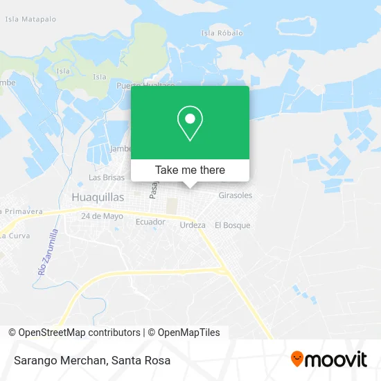
See Sarango Merchan, Huaquillas, on the map
Public Transit to Sarango Merchan in Huaquillas
Wondering how to get to Sarango Merchan in Huaquillas? Moovit helps you find the best way to get to Sarango Merchan with step-by-step directions from the nearest public transit station.
Moovit provides free maps and live directions to help you navigate through your city. View schedules, routes, timetables, and find out how long does it take to get to Sarango Merchan in real time.
Looking for the nearest stop or station to Sarango Merchan? Check out this list of stops closest to your destination: Muelle.
Bus: INTERC. 3 HUAQUILLAS.Ferry: FLUVIAL 8.
Want to see if there’s another route that gets you there at an earlier time? Moovit helps you find alternative routes or times. Get directions from and directions to Sarango Merchan easily from the Moovit App or Website.
We make riding to Sarango Merchan easy, which is why over 1.5 million users, including users in Huaquillas, trust Moovit as the best app for public transit. You don’t need to download an individual bus app or train app, Moovit is your all-in-one transit app that helps you find the best bus time or train time available.
For information on prices of bus, costs and ride fares to Sarango Merchan, please check the Moovit app.
Use the app to navigate to popular places including to the airport, hospital, stadium, grocery store, mall, coffee shop, school, college, and university.
Sarango Merchan Address: Corina Parrales street in Huaquillas
- Escuela De Educación Básica Jaime Hurtado,
- Danec Yaguachi Jhonny,
- Luz Del Mundo,
- Danec Roguel Ramirez,
- Jaime Roldos,
- Fabril Cordova Cacay Ronald,
- Fabril Bravo Gallegos Marino,
- Vera Chamorro Vicenta Valentina,
- Carmita Ajila González,
- Union Lojana,
- Albergue De Emergencia Del Canton Huaquillas,
- Quijije Bautista Diana,
- Nuevos Horizontes,
- Escuela Jose Anselmo Garcia Cajamarca,
- Hospital Basico Huaquillas,
- Cancha De Ecuavoley,
- Escuela Mixta Jaime Roldos Aguilera,
- Sub Centro Las Mercedes,
- Deposito De Caña,
- Parque Unión Lojana
Places Near Sarango Merchan (Huaquillas)
- Fuerte Militar Heroes De Chacras, Machala,
- Clínica Hospital Esperanza, Machala,
- Grupo De Caballería Blindad Nº 4 Febres Cordero, La Avanzada,
- Puertas Del Sol, Machala,
- Mies, Machala,
- Universidad Técnica de Machala (UTMACH), Machala,
- Martha Bucaram, Machala,
- Agencia Nacional De Tránsito, Machala,
- Brigada de Infanteria Motorizada N1 El Oro, Machala,
- La Puente, Machala,
- Inspectoria de Trabajo de El Oro, Machala,
- Centro Sanacion Hermano Gregorio, Machala,
- Subcentro Brisas Del Mar, Machala,
- Ubillus - Fablexa Repuestos Automotrices, Machala,
- Hospital Iess, Machala,
- Colegio Ismael Perez Pazmiño, Machala,
- Ministerio del Trabajo De El Oro, Machala,
- Barrio 18 de Octubre - Estaca Machala, Machala,
- Extasis Night Club 1 Machala, Machala,
- C.C. Unioro, Machala
How to get to popular places in Santa Rosa with public transit
Get around Huaquillas by public transit!
Traveling around Huaquillas has never been so easy. See step by step directions as you travel to any attraction, street or major public transit station. View bus and train schedules, arrival times, service alerts and detailed routes on a map, so you know exactly how to get to anywhere in Huaquillas.
When traveling to any destination around Huaquillas use Moovit's Live Directions with Get Off Notifications to know exactly where and how far to walk, how long to wait for your line, and how many stops are left. Moovit will alert you when it's time to get off — no need to constantly re-check whether yours is the next stop.
Wondering how to use public transit in Huaquillas or how to pay for public transit in Huaquillas? Moovit public transit app can help you navigate your way with public transit easily, and at minimum cost. It includes public transit fees, ticket prices, and costs. Looking for a map of Huaquillas public transit lines? Moovit public transit app shows all public transit maps in Huaquillas with all Bus and Ferry routes and stops on an interactive map.
Santa Rosa has 2 transit type(s), including: Bus and Ferry, operated by several transit agencies, including COOPERATIVA SANTA ROSA, OROCONTI S.A, COOPERATIVA ECUATORIANO PULLMAN, COOPERATIVA TRANSESMERALDAS, COOPERATIVA PANAMERICANA, COOPERATIVA OCCIDENTAL, TRANSPORTE FLUVIAL Y MARÍTIMO PUERTO HUALTACO, COOPERATIVA TAC, TRANSPORTE FLUVIAL Y MARÍTIMO C. DE FRAGATA RAFAEL MORAN V., COOPERATIVA RUTAS ORENSES, COOP. PUERTO JELÍ, TRANSPORTE FLUVIAL Y MARÍTIMO 31 DE JULIO, COOPERATIVA CIFA, COOPERATIVA EL ORO and COOPERATIVA LOJA