Saticoy / Reseda stop - Wednesday schedule
| Line | Direction | Time |
|---|---|---|
| 169 | Canoga Station | 6:26 AM |
| 169 | Canoga Station | 7:03 AM |
| 169 | Canoga Station | 7:35 AM |
| 169 | UCLA West Valley Medical Center | 8:09 AM |
| 169 | Canoga Station | 8:42 AM |
| 169 | Canoga Station | 9:38 AM |
| 169 | Canoga Station | 10:38 AM |
| 169 | Canoga Station | 11:38 AM |
| 169 | Canoga Station | 12:38 PM |
| 169 | Canoga Station | 1:39 PM |
| 169 | Canoga Station | 2:45 PM |
| 169 | Canoga Station | 3:48 PM |
| 169 | Canoga Station | 4:50 PM |
| 169 | Canoga Station | 5:53 PM |
| 169 | Canoga Station | 6:53 PM |
| 169 | UCLA West Valley Medical Center | 7:53 PM |
| 169 | UCLA West Valley Medical Center | 8:53 PM |
Directions to Saticoy / Reseda stop with public transit
The following transit lines have routes that pass near Saticoy / Reseda
 Bus: 169, 240, DASH, 162.
- Train: PACIFIC SURFLINER, VC LINE.
How to get to Saticoy / Reseda stop by bus?
Click on the bus route to see step by step directions with maps, line arrival times and updated time schedules.
How to get to Saticoy / Reseda stop by train?
Click on the train route to see step by step directions with maps, line arrival times and updated time schedules.
Bus stops near Saticoy / Reseda stop
- Reseda / Saticoy, 1 min walk,
- Saticoy / Reseda, 2 min walk,
- Sherman Way / Reseda, 12 min walk,
Train stations near Saticoy / Reseda station
- Northridge, 30 min walk,
Bus lines to Saticoy / Reseda stop
- 240, Universal - Studio City Station,
- 169, Canoga Station,
- DASH, Clockwise,
- 162, Canoga Park,
What are the closest stations to Saticoy / Reseda?
The closest stations to Saticoy / Reseda are:
- Reseda / Saticoy is 68 yards away, 1 min walk.
- Saticoy / Reseda is 89 yards away, 2 min walk.
- Sherman Way / Reseda is 945 yards away, 12 min walk.
- Northridge is 2498 yards away, 30 min walk.
Which bus lines stop near Saticoy / Reseda?
These bus lines stop near Saticoy / Reseda: 169, 240.
Which train line stops near Saticoy / Reseda?
PACIFIC SURFLINER (Northbound)
What’s the nearest train station to Saticoy / Reseda?
The nearest train station to Saticoy / Reseda is Northridge. It’s a 30 min walk away.
What’s the nearest bus station to Saticoy / Reseda?
The nearest bus station to Saticoy / Reseda is Reseda / Saticoy. It’s a 1 min walk away.
What time is the first train to Saticoy / Reseda?
The VC LINE is the first train that goes to Saticoy / Reseda. It stops nearby at 5:51 AM.
What time is the last train to Saticoy / Reseda?
The VC LINE is the last train that goes to Saticoy / Reseda. It stops nearby at 7:10 PM.
What time is the first bus to Saticoy / Reseda?
The 162 is the first bus that goes to Saticoy / Reseda. It stops nearby at 3:11 AM.
What time is the last bus to Saticoy / Reseda?
The 162 is the last bus that goes to Saticoy / Reseda. It stops nearby at 3:11 AM.
Saticoy / Reseda station
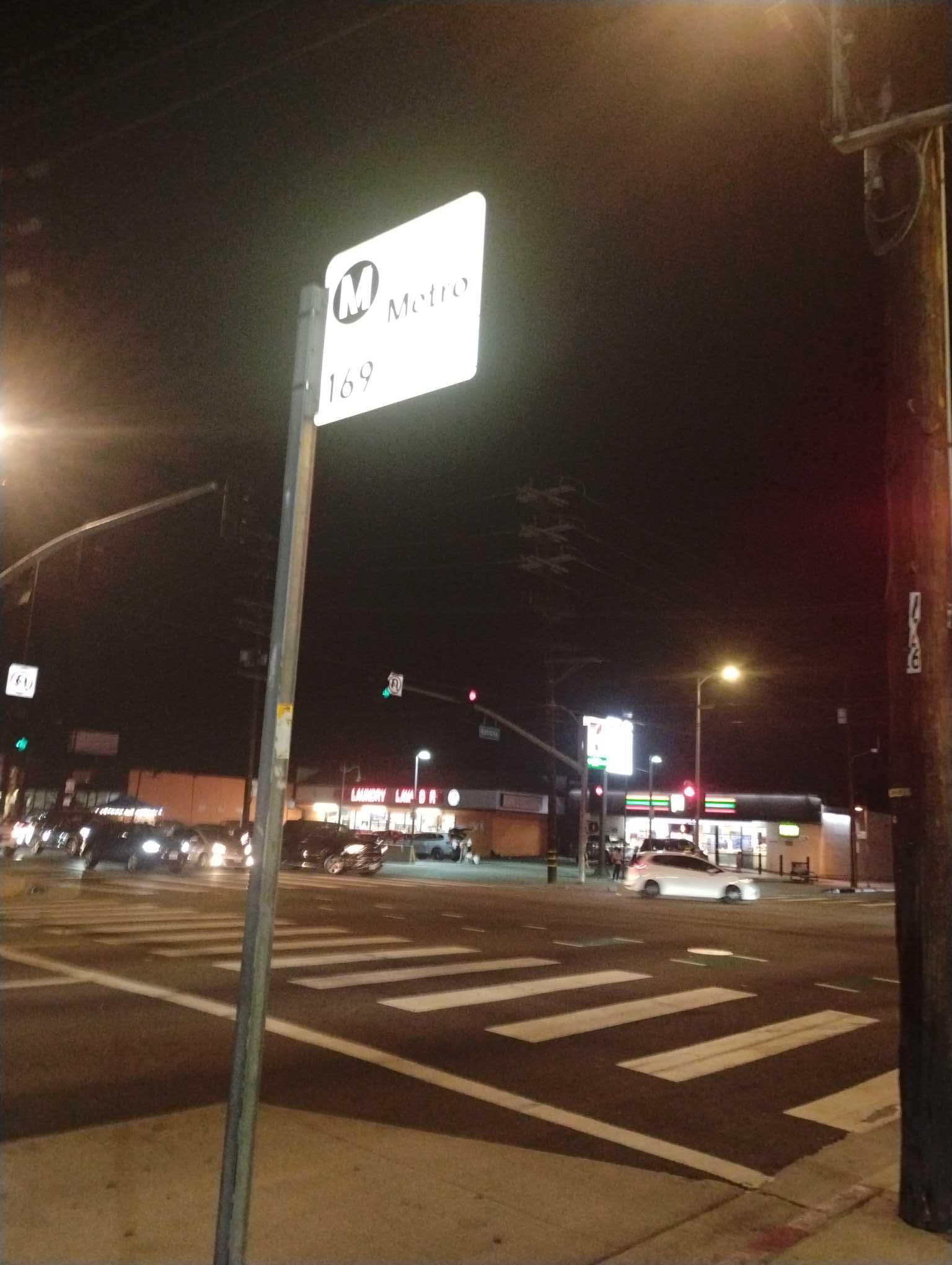 Taken by Anonymous
See Saticoy / Reseda stop on the map
Public transit to Saticoy / Reseda stop (ID: 14485)
Looking for directions to Saticoy / Reseda in Reseda, United States?
Download the Moovit App to find the current schedule and step-by-step directions for Bus or Train routes that pass through Saticoy / Reseda.
Looking for the nearest stops closest to Saticoy / Reseda ? Check out this list of closest stops to your destination: Reseda / Saticoy; Saticoy / Reseda; Sherman Way / Reseda; Northridge.
Bus: 169, 240, DASH, 162.Train: PACIFIC SURFLINER, VC LINE.
We make riding on public transit to Saticoy / Reseda easy, which is why over 1.5 million users, including users in Reseda trust Moovit as the best app for public transit.
Use the app to navigate to popular places including to the airport, hospital, stadium, grocery store, mall, coffee shop, school, college, and university.
Saticoy / Reseda stop’s code is 14485
The first line to this stop is 169, at 6:26 AM, and the last line is 169 at 8:53 PM.
This stop serves Metro’s lines
- Reseda / Saticoy,
- Saticoy / Reseda,
- Sherman Way / Reseda
Bus stops near Saticoy / Reseda stop
- Northridge
Train station near Saticoy / Reseda station
- Banning Justice Center,
- Orangethorpe / East Entry Park & Ride,
- Venice / Figueroa,
- Newhall Ave & Sierra Hwy,
- Spring & Bellflower SE,
- Tampa / Nordhoff,
- 8th / Olive,
- Venice / Centinela,
- Indiana St & Whittier Blvd,
- Figueroa St & USC Mccarthy Way,
- Atlantic Station,
- San Vicente & LA Brea Ave. (Southbound),
- Soto / 8th,
- 183rd Street and Studebaker Road- S/E Corner,
- Firestone / Otis,
- Sunset / Vin Scully - Dodger Stadium,
- Broadway & Venice Blvd,
- Cahuenga / Woodrow Wilson,
- Temescal Canyon / Pacific Coast Highway,
- Victory / Balboa
Popular public transit stations in Reseda
Get around Reseda by public transit!
Traveling around Reseda has never been so easy. See step by step directions as you travel to any attraction, street or major public transit station. View bus and train schedules, arrival times, service alerts and detailed routes on a map, so you know exactly how to get to anywhere in Reseda.
When traveling to any destination around Reseda use Moovit's Live Directions with Get Off Notifications to know exactly where and how far to walk, how long to wait for your line, and how many stops are left. Moovit will alert you when it's time to get off — no need to constantly re-check whether yours is the next stop.
Wondering how to use public transit in Reseda or how to pay for public transit in Reseda? Moovit public transit app can help you navigate your way with public transit easily, and at minimum cost. It includes public transit fees, ticket prices, and costs. Looking for a map of Reseda public transit lines? Moovit public transit app shows all public transit maps in Reseda with all Bus, Train, Subway, Ferry and Funicular routes and stops on an interactive map.
Los Angeles has 5 transit type(s), including: Bus, Train, Subway, Ferry and Funicular, operated by several transit agencies, including Metro, Alhambra Community Transit, Arcadia Transit, Artesia Transit, AVTA, Baldwin Park Transit, Beach Cities Transit, Beaumont Transit, Bell Gardens Town Trolley, Bellflower Bus, Big Blue Bus, Burbank Bus, Calabasas Trolley, Camarillo Area Transit and Carson Circuit