How to get to School Of Medical Technology by bus?
Click on the bus route to see step by step directions with maps, line arrival times and updated time schedules.
From Marine Barracks Washington, Washington
59 minFrom Walmart, Arlington County
98 minFrom THEARC, Washington
92 minFrom Foreign Service Institute, Arlington County
105 minFrom The Westin Arlington Gateway, Arlington County
100 minFrom Ballou High School, Washington
94 minFrom Chevy Chase Metro Plaza, Washington
45 minFrom Washington Harbor, Washington
61 minFrom Marcus Bles Building, Georgetown University, Washington
58 minFrom Bureau of Engraving and Printing, Washington
48 min
How to get to School Of Medical Technology by train?
Click on the train route to see step by step directions with maps, line arrival times and updated time schedules.
How to get to School Of Medical Technology by metro?
Click on the metro route to see step by step directions with maps, line arrival times and updated time schedules.
From Marine Barracks Washington, Washington
57 minFrom Walmart, Arlington County
66 minFrom THEARC, Washington
65 minFrom The Westin Arlington Gateway, Arlington County
67 minFrom Ballou High School, Washington
74 minFrom Chevy Chase Metro Plaza, Washington
57 minFrom Washington Harbor, Washington
65 minFrom Bureau of Engraving and Printing, Washington
57 min
Bus stops near School Of Medical Technology in Washington
Metro stations near School Of Medical Technology in Washington
Bus lines to School Of Medical Technology in Washington
What are the closest stations to School Of Medical Technology?
The closest stations to School Of Medical Technology are:
- Michigan Av Nw+Childrens Medical Ctr is 154 yards away, 2 min walk.
- N Capitol St Ne+Girard St NE is 190 yards away, 3 min walk.
- Michigan Av Nw+N Capitol St NW is 295 yards away, 4 min walk.
- Georgia Ave - Petworth is 963 yards away, 12 min walk.
- Brookland-Cua is 4007 yards away, 47 min walk.
Which bus lines stop near School Of Medical Technology?
These bus lines stop near School Of Medical Technology: C61, C63, D36.
Which train line stops near School Of Medical Technology?
NORTHEAST REGIONAL (Boston)
Which metro lines stop near School Of Medical Technology?
These metro lines stop near School Of Medical Technology: GREEN, RED.
What’s the nearest metro station to School Of Medical Technology in Washington?
The nearest metro station to School Of Medical Technology in Washington is Georgia Ave - Petworth. It’s a 12 min walk away.
What’s the nearest bus station to School Of Medical Technology in Washington?
The nearest bus station to School Of Medical Technology in Washington is Michigan Av Nw+Childrens Medical Ctr. It’s a 2 min walk away.
What time is the first metro to School Of Medical Technology in Washington?
The GREEN is the first metro that goes to School Of Medical Technology in Washington. It stops nearby at 5:14 AM.
What time is the last metro to School Of Medical Technology in Washington?
The GREEN is the last metro that goes to School Of Medical Technology in Washington. It stops nearby at 12:27 AM.
What time is the first bus to School Of Medical Technology in Washington?
The C61 is the first bus that goes to School Of Medical Technology in Washington. It stops nearby at 3:02 AM.
What time is the last bus to School Of Medical Technology in Washington?
The C61 is the last bus that goes to School Of Medical Technology in Washington. It stops nearby at 3:04 AM.
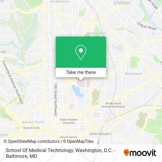
See School Of Medical Technology, Washington, on the map
Public Transit to School Of Medical Technology in Washington
Wondering how to get to School Of Medical Technology in Washington? Moovit helps you find the best way to get to School Of Medical Technology with step-by-step directions from the nearest public transit station.
Moovit provides free maps and live directions to help you navigate through your city. View schedules, routes, timetables, and find out how long does it take to get to School Of Medical Technology in real time.
Looking for the nearest stop or station to School Of Medical Technology? Check out this list of stops closest to your destination: Michigan Av Nw+Childrens Medical Ctr; N Capitol St Ne+Girard St NE; Michigan Av Nw+N Capitol St NW; Georgia Ave - Petworth; Brookland-Cua.
Bus: C61, C63, D36, D30.Train: NORTHEAST REGIONAL.Metro: GREEN, RED, YELLOW.
Want to see if there’s another route that gets you there at an earlier time? Moovit helps you find alternative routes or times. Get directions from and directions to School Of Medical Technology easily from the Moovit App or Website.
We make riding to School Of Medical Technology easy, which is why over 1.7 million users, including users in Washington, trust Moovit as the best app for public transit. You don’t need to download an individual bus app or train app, Moovit is your all-in-one transit app that helps you find the best bus time or train time available.
For information on prices of bus, metro and train, costs and ride fares to School Of Medical Technology, please check the Moovit app.
Use the app to navigate to popular places including to the airport, hospital, stadium, grocery store, mall, coffee shop, school, college, and university.
School Of Medical Technology Address: 110 Irving St NW street in Washington
- MedStar Washington Hospital Center,
- MedStar Washington Hospital Ctr (Washington Hospital Center),
- Hospital Bus Circle Entrance,
- Washington Hospital Center,
- MedStar National Rehabilitation Network,
- WHC True Auditorium,
- Childrens Hospital,
- Children's National Medical Center Center For Surgical Care,
- Children's National - Main Hospital (Children's National Medical Center),
- Children's Hospital Parking,
- VA Medical Center,
- PenFed Credit Union (Pentagon Federal Credit Union),
- VA Medical Center-Washington,
- Washington DC VA Medical Center,
- Michigan Ave NW and 1st,
- MedStar Washington Hospital Center,
- McMillan Reservoir,
- Charles Drew Hall,
- William Greene Memorial Stadium,
- William H. Greene Stadium
Places Near School Of Medical Technology (Washington)
- National Museum of African American History and Culture, Washington,
- Washington DC VA Medical Center, Washington,
- Basilica of the National Shrine, Washington,
- Sibley Memorial Hospital, Washington,
- Capital One Arena, Washington,
- National Zoo, Washington,
- Georgetown, Washington,
- Amazon Hq2, Arlington County,
- Washington National Cathedral, Washington,
- Westfield Montgomery Mall, Montgomery County,
- Pennsylvania Ave NW (3rd st and pennsylvania), Washington,
- M&T Bank Stadium, Baltimore,
- Marriott Marquis Washington, DC, Washington,
- Camden Yards, Baltimore,
- The Anthem, Washington,
- National Theatre, Washington,
- PG Mall, Prince George's County,
- Warner Theatre, Washington,
- Rock Creek Tennis Center, Washington,
- Museum Of The Bible, Washington
How to get to popular places in Washington, D.C. - Baltimore, MD with public transit
Get around Washington by public transit!
Traveling around Washington has never been so easy. See step by step directions as you travel to any attraction, street or major public transit station. View bus and train schedules, arrival times, service alerts and detailed routes on a map, so you know exactly how to get to anywhere in Washington.
When traveling to any destination around Washington use Moovit's Live Directions with Get Off Notifications to know exactly where and how far to walk, how long to wait for your line, and how many stops are left. Moovit will alert you when it's time to get off — no need to constantly re-check whether yours is the next stop.
Wondering how to use public transit in Washington or how to pay for public transit in Washington? Moovit public transit app can help you navigate your way with public transit easily, and at minimum cost. It includes public transit fees, ticket prices, and costs. Looking for a map of Washington public transit lines? Moovit public transit app shows all public transit maps in Washington with all Bus, Train, Metro, Light Rail and Ferry routes and stops on an interactive map.
Washington, D.C. - Baltimore, MD has 5 transit type(s), including: Bus, Train, Metro, Light Rail and Ferry, operated by several transit agencies, including WMATA, Montgomery County Ride On, Fairfax Connector, TheBus, PRTC, DASH - Alexandria, Arlington Transit (ART), RTA of Central Maryland, MDOT MTA, MDOT MTA Light RailLink, MDOT MTA Commuter Bus, MDOT MTA Local Bus, FXBGO!, Virginia Railway Express (VRE) and MARC