Bus stops near Schuylkill County Care Program in New York - New Jersey
Bus lines to Schuylkill County Care Program in New York - New Jersey
- Schuylkill County Election Bureau,
- Senior Corps,
- Dept of Human Services,
- Community Volunteers in Action,
- Schuylkill County Aging Agency,
- City Of Pottsville,
- Becomingone Church,
- Pottsville Area Sewer Auth,
- Schuylkill County Bicentennial Monument,
- United States Postal Service,
- Bureau Economic & Community Dev,
- Lions Charities,
- Pottsville,
- Cacl Financial Bark Park,
- Fire Chief,
- USPS,
- Us Post Office,
- Anthony Urban Law Offices Pc,
- Schuylkill County Office Of Public Safety,
- General George A. Joulwan Monument
Places Near Schuylkill County Care Program (New York - New Jersey)
- 26 Federal Plaza, Manhattan,
- 911 Memorial, Manhattan,
- 1 Police Plaza, Manhattan,
- Hudson Yards, Manhattan,
- Rockefeller Center, Manhattan,
- Wall Street, Manhattan,
- 66 John Street, Manhattan,
- Mountainside Hospital, Glen Ridge,
- Pier 83, Manhattan,
- Chinatown, Manhattan,
- Katz's Deli, Manhattan,
- SoHo, Manhattan,
- Queens Center Mall, Queens,
- San Gennaro Feast, Manhattan,
- qqqq, Manhattan,
- Times Square, Manhattan,
- 3 Stone St, Manhattan,
- 111 Centre New York City Supreme Court, Manhattan,
- 376 Hudson Street, Manhattan,
- Bellevue Hospital, Manhattan
How to get to popular places in New York - New Jersey with public transit
What are the closest stations to Schuylkill County Care Program?
The closest stations to Schuylkill County Care Program are:
- City Hall is 25 yards away, 1 min walk.
- Market @ 2nd is 440 yards away, 6 min walk.
- Norwegian @ Line is 658 yards away, 8 min walk.
What’s the nearest bus station to Schuylkill County Care Program in New York - New Jersey?
The nearest bus station to Schuylkill County Care Program in New York - New Jersey is City Hall. It’s a 1 min walk away.
What time is the first bus to Schuylkill County Care Program in New York - New Jersey?
The 20 is the first bus that goes to Schuylkill County Care Program in New York - New Jersey. It stops nearby at 7:01 AM.
What time is the last bus to Schuylkill County Care Program in New York - New Jersey?
The 10 is the last bus that goes to Schuylkill County Care Program in New York - New Jersey. It stops nearby at 5:54 PM.
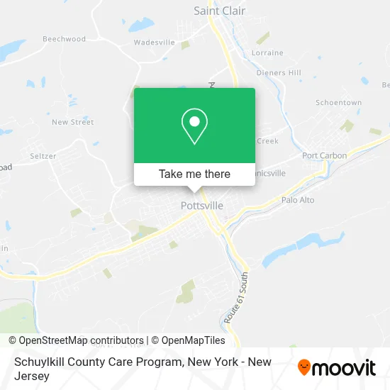
See Schuylkill County Care Program, New York - New Jersey, on the map
Public Transit to Schuylkill County Care Program in New York - New Jersey
Wondering how to get to Schuylkill County Care Program in New York - New Jersey? Moovit helps you find the best way to get to Schuylkill County Care Program with step-by-step directions from the nearest public transit station.
Moovit provides free maps and live directions to help you navigate through your city. View schedules, routes, timetables, and find out how long does it take to get to Schuylkill County Care Program in real time.
Looking for the nearest stop or station to Schuylkill County Care Program? Check out this list of stops closest to your destination: City Hall; Market @ 2nd; Norwegian @ Line.
Want to see if there’s another route that gets you there at an earlier time? Moovit helps you find alternative routes or times. Get directions from and directions to Schuylkill County Care Program easily from the Moovit App or Website.
We make riding to Schuylkill County Care Program easy, which is why over 1.5 million users, including users in New York - New Jersey, trust Moovit as the best app for public transit. You don’t need to download an individual bus app or train app, Moovit is your all-in-one transit app that helps you find the best bus time or train time available.
Use the app to navigate to popular places including to the airport, hospital, stadium, grocery store, mall, coffee shop, school, college, and university.
Schuylkill County Care Program Address: 420 N Centre St street in New York - New Jersey
Get around New York - New Jersey by public transit!
Traveling around New York - New Jersey has never been so easy. See step by step directions as you travel to any attraction, street or major public transit station. View bus and train schedules, arrival times, service alerts and detailed routes on a map, so you know exactly how to get to anywhere in New York - New Jersey.
When traveling to any destination around New York - New Jersey use Moovit's Live Directions with Get Off Notifications to know exactly where and how far to walk, how long to wait for your line, and how many stops are left. Moovit will alert you when it's time to get off — no need to constantly re-check whether yours is the next stop.
Wondering how to use public transit in New York - New Jersey or how to pay for public transit in New York - New Jersey? Moovit public transit app can help you navigate your way with public transit easily, and at minimum cost. It includes public transit fees, ticket prices, and costs. Looking for a map of New York - New Jersey public transit lines? Moovit public transit app shows all public transit maps in New York - New Jersey with all Bus, Train, Subway, Light Rail, Ferry and Cable Car routes and stops on an interactive map.
New York - New Jersey has 6 transit type(s), including: Bus, Train, Subway, Light Rail, Ferry and Cable Car, operated by several transit agencies, including MTA Subway, Metro-North Railroad, LIRR, PATH, MTA New York City Transit - Express routes, MTA Bus, NJ Transit, NYC Ferry, NICE bus, Bee-Line Bus, NJ Transit Rail, Norwalk Transit District, Hartford Line, River Valley Transit and HART