How to get to Score by bus?
Click on the bus route to see step by step directions with maps, line arrival times and updated time schedules.
From Mega Arcade, Cape Coral
54 minFrom LSH Group, Cypress Lake
88 minFrom FedEx, Fort Myers
46 minFrom Eclectic Fort Myers Band, Cypress Lake
86 minFrom Target, Fort Myers
68 minFrom Barberville, Cape Coral
45 minFrom Ministerio Cristiano, Jesus Puente de Vida, Cape Coral
49 minFrom McGinnis Educational Services, Cypress Lake
87 minFrom Central Cape Coral, Cape Coral
36 minFrom Sachs Harris A MD FCCP, Cape Coral
35 min
Bus stops near Score in Fort Myers
Bus lines to Score in Fort Myers
What are the closest stations to Score?
The closest stations to Score are:
- Lee Str - Second Str is 214 yards away, 3 min walk.
- Monroe St @ Second St is 255 yards away, 4 min walk.
- Rosa Parks Transportation Ctr is 278 yards away, 4 min walk.
- Rosa Parks Transportation Ctr W is 624 yards away, 8 min walk.
Which bus lines stop near Score?
These bus lines stop near Score: 10, 140, 70.
What’s the nearest bus station to Score in Fort Myers?
The nearest bus station to Score in Fort Myers is Lee Str - Second Str. It’s a 3 min walk away.
What time is the first bus to Score in Fort Myers?
The 20 is the first bus that goes to Score in Fort Myers. It stops nearby at 5:00 AM.
What time is the last bus to Score in Fort Myers?
The 100 is the last bus that goes to Score in Fort Myers. It stops nearby at 10:06 PM.
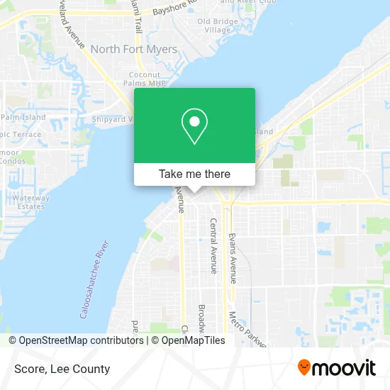
See Score, Fort Myers, on the map
Public Transit to Score in Fort Myers
Wondering how to get to Score in Fort Myers? Moovit helps you find the best way to get to Score with step-by-step directions from the nearest public transit station.
Moovit provides free maps and live directions to help you navigate through your city. View schedules, routes, timetables, and find out how long does it take to get to Score in real time.
Looking for the nearest stop or station to Score? Check out this list of stops closest to your destination: Lee Str - Second Str; Monroe St @ Second St; Rosa Parks Transportation Ctr; Rosa Parks Transportation Ctr W.
Bus: 10, 140, 70, 20, 100, 15.
Want to see if there’s another route that gets you there at an earlier time? Moovit helps you find alternative routes or times. Get directions from and directions to Score easily from the Moovit App or Website.
We make riding to Score easy, which is why over 1.5 million users, including users in Fort Myers, trust Moovit as the best app for public transit. You don’t need to download an individual bus app or train app, Moovit is your all-in-one transit app that helps you find the best bus time or train time available.
For information on prices of bus, costs and ride fares to Score, please check the Moovit app.
Use the app to navigate to popular places including to the airport, hospital, stadium, grocery store, mall, coffee shop, school, college, and university.
Score Address: 2201 2nd St street in Fort Myers
- Edison,
- Andrew P Marcus,
- Marissa Harlow,
- Lee County Government Building Inspections,
- Lee County Board of County Commissionrs,
- Team Entertain,
- Lee County Government Law Enforcement Bureau,
- Lee County Administration Office Building 2115,
- State House of Representatives,
- The Edge Nightclub,
- Beat Club,
- Downtown Grab & Go,
- Brenda Brennan,
- Staging Matters,
- Thomas P Clark Attorney,
- Charles J Basinait,
- FedEx,
- Ernest H Hatch Jr,
- Snowboy Investments,
- Sarah E Spector
Places Near Score (Fort Myers)
- Bonita Bay Private Beach Club, Bonita Springs,
- Bonita Beach, Bonita Springs,
- All About U Naples Escorts, Pine Ridge,
- Edison Mall, Fort Myers,
- Ft Myers Airport RSW,
- US-41, Fort Myers,
- Walmart Supercenter, Fort Myers,
- Pelican Landing Beach Shuttle, Bonita Springs,
- I-75 & Colonial (Exit 136), Fort Myers,
- Bonita Springs, FL, Bonita Springs,
- Seminole Casino Hotel Immokalee,
- I-75 & MLK (Exit 138), Fort Myers,
- Flixbus, Fort Myers,
- Rosa Parks Transportation Center, Fort Myers,
- Miromar Outlets, Estero,
- Lee County Tax Collector, Cape Coral,
- Amazon Warehouse Rsw5,
- U.S.-41 / Colonial Blvd. Intersection, Fort Myers,
- Matlacha Nude Beach, Matlacha Isles-Matlacha Shores,
- Lehigh Acres, FL, Lehigh Acres
How to get to popular places in Lee County with public transit
Get around Fort Myers by public transit!
Traveling around Fort Myers has never been so easy. See step by step directions as you travel to any attraction, street or major public transit station. View bus and train schedules, arrival times, service alerts and detailed routes on a map, so you know exactly how to get to anywhere in Fort Myers.
When traveling to any destination around Fort Myers use Moovit's Live Directions with Get Off Notifications to know exactly where and how far to walk, how long to wait for your line, and how many stops are left. Moovit will alert you when it's time to get off — no need to constantly re-check whether yours is the next stop.
Wondering how to use public transit in Fort Myers or how to pay for public transit in Fort Myers? Moovit public transit app can help you navigate your way with public transit easily, and at minimum cost. It includes public transit fees, ticket prices, and costs. Looking for a map of Fort Myers public transit lines? Moovit public transit app shows all public transit maps in Fort Myers with all bus routes and stops on an interactive map.
Lee County has 1 transit type(s), including: bus, operated by several transit agencies, including LeeTran, CAT and FlixBus-us