Scott St @ Sunbeam St stop - Sunday schedule
| Line | Direction | Time |
|---|---|---|
| 54 | Downtown Tc - Northbound | 5:13 AM |
| 54 | Downtown Tc - Northbound | 5:15 AM |
| 54 | Downtown Tc - Northbound | 5:30 AM |
| 54 | Downtown Tc - Northbound | 5:45 AM |
| 54 | Downtown Tc - Northbound | 6:00 AM |
| 54 | Downtown Tc - Northbound | 6:15 AM |
| 54 | Downtown Tc - Northbound | 6:30 AM |
| 54 | Downtown Tc - Northbound | 6:45 AM |
| 54 | Downtown Tc - Northbound | 7:00 AM |
| 54 | Downtown Tc - Northbound | 7:15 AM |
| 54 | Downtown Tc - Northbound | 7:30 AM |
| 54 | Downtown Tc - Northbound | 7:45 AM |
| 54 | Downtown Tc - Northbound | 8:00 AM |
| 54 | Downtown Tc - Northbound | 8:16 AM |
| 54 | Downtown Tc - Northbound | 8:31 AM |
| 54 | Downtown Tc - Northbound | 8:46 AM |
| 54 | Downtown Tc - Northbound | 9:01 AM |
| 54 | Downtown Tc - Northbound | 9:16 AM |
| 54 | Downtown Tc - Northbound | 9:31 AM |
| 54 | Downtown Tc - Northbound | 9:46 AM |
| 54 | Downtown Tc - Northbound | 10:01 AM |
| 54 | Downtown Tc - Northbound | 10:16 AM |
| 54 | Downtown Tc - Northbound | 10:31 AM |
| 54 | Downtown Tc - Northbound | 10:46 AM |
| 54 | Downtown Tc - Northbound | 11:01 AM |
Directions to Scott St @ Sunbeam St stop (Houston) with public transit
The following transit lines have routes that pass near Scott St @ Sunbeam St
 Bus: 54, 87.
How to get to Scott St @ Sunbeam St stop by bus?
Click on the bus route to see step by step directions with maps, line arrival times and updated time schedules.
Bus stops near Scott St @ Sunbeam St stop in Houston
- Scott St @ Sunbeam St, 1 min walk,
- Rosehaven Dr @ Sunbeam St, 10 min walk,
Bus lines to Scott St @ Sunbeam St stop in Houston
- 54, Downtown Tc - Northbound,
- 87, Tmc Tc - Northbound,
What are the closest stations to Scott St @ Sunbeam St?
The closest stations to Scott St @ Sunbeam St are:
- Scott St @ Sunbeam St stop is 58 yards away, 1 min walk.
- Rosehaven Dr @ Sunbeam St stop is 844 yards away, 10 min walk.
Which bus line stops near Scott St @ Sunbeam St?
54 (Hiram Clarke Tc - Southbound)
What’s the nearest bus station to Scott St @ Sunbeam St in Houston?
The nearest bus station to Scott St @ Sunbeam St in Houston is Scott St @ Sunbeam St. It’s a 1 min walk away.
What time is the first bus to Scott St @ Sunbeam St in Houston?
The 54 is the first bus that goes to Scott St @ Sunbeam St in Houston. It stops nearby at 4:13 AM.
What time is the last bus to Scott St @ Sunbeam St in Houston?
The 54 is the last bus that goes to Scott St @ Sunbeam St in Houston. It stops nearby at 1:36 AM.
Scott St @ Sunbeam St station
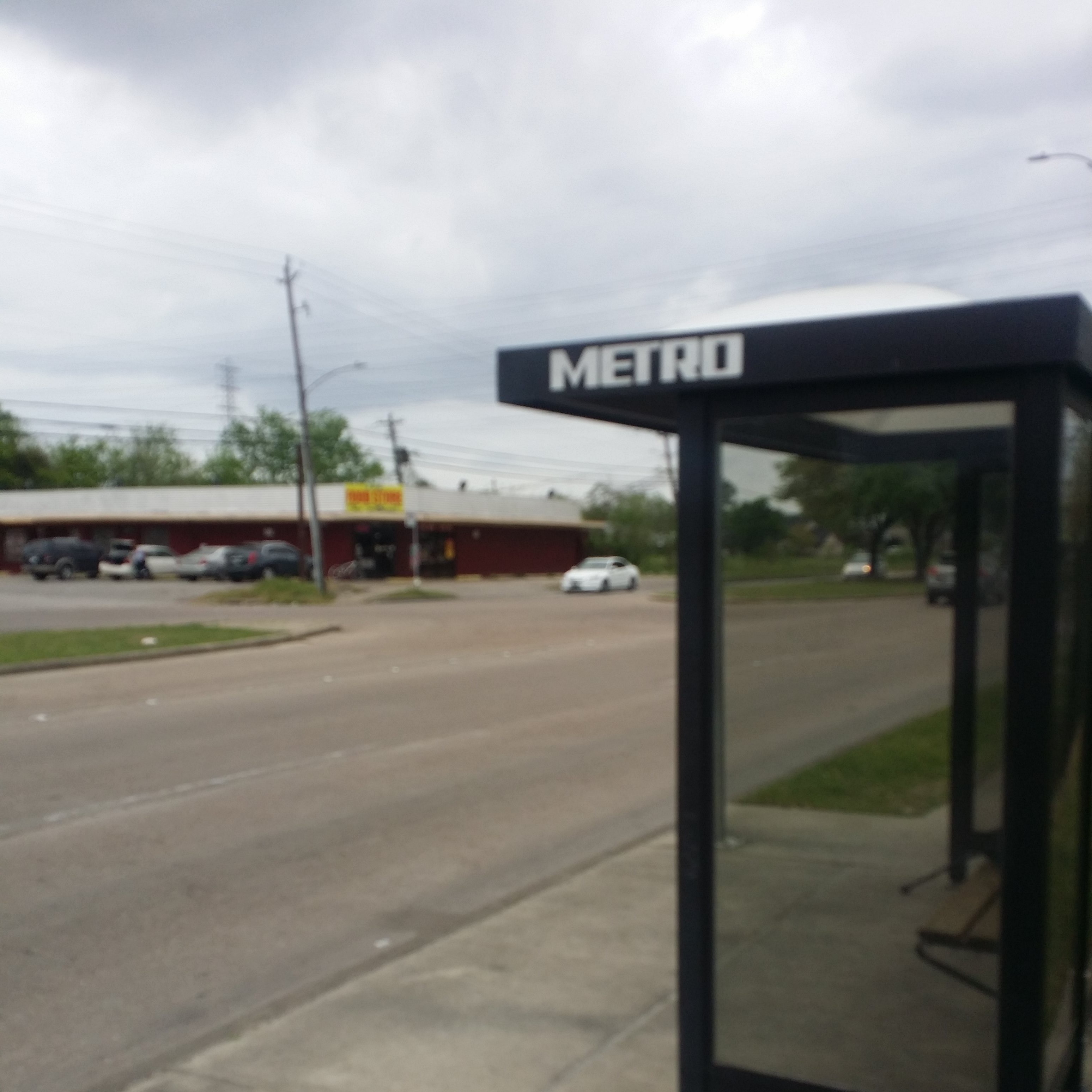 Taken by James B.
See Scott St @ Sunbeam St stop, Houston, on the map
Public transit to Scott St @ Sunbeam St stop (ID: 11948) in Houston
Looking for directions to Scott St @ Sunbeam St in Houston, United States?
Download the Moovit App to find the current schedule and step-by-step directions for Bus or Light Rail routes that pass through Scott St @ Sunbeam St.
Looking for the nearest stops closest to Scott St @ Sunbeam St ? Check out this list of closest stops to your destination: Scott St @ Sunbeam St; Rosehaven Dr @ Sunbeam St.
Bus: 54, 87.
We make riding on public transit to Scott St @ Sunbeam St easy, which is why over 1.7 billion users, including users in Houston trust Moovit as the best app for public transit.
Use the app to navigate to popular places including to the airport, hospital, stadium, grocery store, mall, coffee shop, school, college, and university.
Scott St @ Sunbeam St stop’s code is 11948
The first line to this stop is 54, at 5:13 AM, and the last line is 54 at 4:58 AM.
3634 Sunbeam St, Houston, TX, USA
This stop serves METRO’s lines
- Scott St @ Sunbeam St,
- Rosehaven Dr @ Sunbeam St
Bus stops near Scott St @ Sunbeam St stop
- Downtown Transit Center,
- Hillcroft Metro Park And Ride,
- Aldine Mail Route Rd @ Determined D,
- Harwin Dr @ Ranchester Dr,
- Blue Bell Rd @ Ella Blvd,
- Bissonnet St @ Newcastle Dr,
- Beechnut St @ Chimney Rock Rd,
- Uh South/University Oaks,
- Louisiana St @ Texas Ave,
- Theater District (Eastbound),
- Hansen Rd @ Airport Blvd,
- Waugh Dr @ D'Amico St,
- Fm 1960 Rd @ Butte Creek Dr,
- Richmond Ave @ Green Crest Dr MB,
- Franklin St @ Congress St,
- Eastex Freeway @ Little York Rd,
- Telephone Rd @ S Wayside Dr,
- Bering Dr @ Woodway Dr,
- Little York Rd @ Foy St,
- Lockwood Dr @ Clinton Dr
Popular public transit stations in Houston
Get around Houston by public transit!
Traveling around Houston has never been so easy. See step by step directions as you travel to any attraction, street or major public transit station. View bus and train schedules, arrival times, service alerts and detailed routes on a map, so you know exactly how to get to anywhere in Houston.
When traveling to any destination around Houston use Moovit's Live Directions with Get Off Notifications to know exactly where and how far to walk, how long to wait for your line, and how many stops are left. Moovit will alert you when it's time to get off — no need to constantly re-check whether yours is the next stop.
Wondering how to use public transit in Houston or how to pay for public transit in Houston? Moovit public transit app can help you navigate your way with public transit easily, and at minimum cost. It includes public transit fees, ticket prices, and costs. Looking for a map of Houston public transit lines? Moovit public transit app shows all public transit maps in Houston with all Bus and Light Rail routes and stops on an interactive map.
Houston has 2 transit type(s), including: Bus and Light Rail, operated by several transit agencies, including METRO, Greyhound-us and FlixBus-us