Directions to Scranton Community Concert (New York - New Jersey) with public transportation
The following transit lines have routes that pass near Scranton Community Concert
 Bus: FLIXBUS 2686, GREYHOUND US0340S, 12, 13, 71.
How to get to Scranton Community Concert by bus?
Click on the bus route to see step by step directions with maps, line arrival times and updated time schedules.
Bus stops near Scranton Community Concert in New York - New Jersey
Bus lines to Scranton Community Concert in New York - New Jersey
What are the closest stations to Scranton Community Concert?
The closest stations to Scranton Community Concert are:
- Wash / Vine is 20 yards away, 1 min walk.
- Adams Vine O is 152 yards away, 3 min walk.
- Wyoming/Vine O is 188 yards away, 3 min walk.
- Mulbry N Wash O is 237 yards away, 4 min walk.
- Wyoming Olive O is 323 yards away, 5 min walk.
- Wyomng/Mulbr O is 423 yards away, 6 min walk.
Which bus lines stop near Scranton Community Concert?
These bus lines stop near Scranton Community Concert: FLIXBUS 2686, GREYHOUND US0340S.
What’s the nearest bus station to Scranton Community Concert in New York - New Jersey?
The nearest bus station to Scranton Community Concert in New York - New Jersey is Wash / Vine. It’s a 1 min walk away.
What time is the first bus to Scranton Community Concert in New York - New Jersey?
The 18 is the first bus that goes to Scranton Community Concert in New York - New Jersey. It stops nearby at 5:22 AM.
What time is the last bus to Scranton Community Concert in New York - New Jersey?
The 71 is the last bus that goes to Scranton Community Concert in New York - New Jersey. It stops nearby at 12:03 AM.
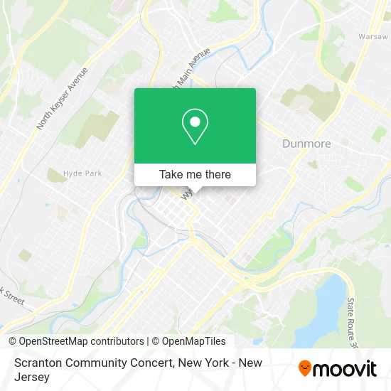
See Scranton Community Concert, New York - New Jersey, on the map
Public Transit to Scranton Community Concert in New York - New Jersey
Wondering how to get to Scranton Community Concert in New York - New Jersey? Moovit helps you find the best way to get to Scranton Community Concert with step-by-step directions from the nearest public transit station.
Moovit provides free maps and live directions to help you navigate through your city. View schedules, routes, timetables, and find out how long does it take to get to Scranton Community Concert in real time.
Looking for the nearest stop or station to Scranton Community Concert? Check out this list of stops closest to your destination: Wash / Vine; Adams Vine O; Wyoming/Vine O; Mulbry N Wash O; Wyoming Olive O; Wyomng/Mulbr O.
Bus: FLIXBUS 2686, GREYHOUND US0340S, 12, 13, 71, 73, 52, 18, 40, 41, 55.
Want to see if there’s another route that gets you there at an earlier time? Moovit helps you find alternative routes or times. Get directions from and directions to Scranton Community Concert easily from the Moovit App or Website.
We make riding to Scranton Community Concert easy, which is why over 1.5 million users, including users in New York - New Jersey, trust Moovit as the best app for public transit. You don’t need to download an individual bus app or train app, Moovit is your all-in-one transit app that helps you find the best bus time or train time available.
For information on prices of bus and train, costs and ride fares to Scranton Community Concert, please check the Moovit app.
Use the app to navigate to popular places including to the airport, hospital, stadium, grocery store, mall, coffee shop, school, college, and university.
Scranton Community Concert Address: 501 Vine St Scranton, PA 18509 street in New York - New Jersey
- Peoples Security Bank Theater at Lackawanna College,
- Center For Teaching and Learning,
- Central High School,
- Lackawanna County Children's Library,
- Tom May - Licensed Insurance Agent,
- Broadway In Scranton,
- Fidelity Bank Atm,
- Regional Hospital Surgery Center,
- Union Lodge No. 291,
- Harvey Reiser Md,
- Masonic Temple and Scottish Rite Cathedral,
- Libertyx Bitcoin Atm,
- Commonwealth Health Regional Hospital Surgery Center,
- Eye Care Specialists,
- 409 on Adams at Lackawanna College,
- Profficially Llc,
- 510 Wyoming Ave Parking,
- Progressive Youth Center,
- 501 Vine St Parking,
- United Neighborhood
Places Near Scranton Community Concert (New York - New Jersey)
- Chinatown, Manhattan,
- Wall Street, Manhattan,
- Times Square, Manhattan,
- Rockefeller Center, Manhattan,
- Katz's Deli, Manhattan,
- Queens Center Mall, Queens,
- 111 Centre New York City Supreme Court, Manhattan,
- 1 Police Plaza, Manhattan,
- 66 John Street, Manhattan,
- SoHo, Manhattan,
- Pier 83, Manhattan,
- 911 Memorial, Manhattan,
- Hudson Yards, Manhattan,
- 3 Stone St, Manhattan,
- Bellevue Hospital, Manhattan,
- Mountainside Hospital, Glen Ridge,
- San Gennaro Feast, Manhattan,
- qqqq, Manhattan,
- 376 Hudson Street, Manhattan,
- 26 Federal Plaza, Manhattan
How to get to popular places in New York - New Jersey with public transit
Get around New York - New Jersey by public transit!
Traveling around New York - New Jersey has never been so easy. See step by step directions as you travel to any attraction, street or major public transit station. View bus and train schedules, arrival times, service alerts and detailed routes on a map, so you know exactly how to get to anywhere in New York - New Jersey.
When traveling to any destination around New York - New Jersey use Moovit's Live Directions with Get Off Notifications to know exactly where and how far to walk, how long to wait for your line, and how many stops are left. Moovit will alert you when it's time to get off — no need to constantly re-check whether yours is the next stop.
Wondering how to use public transit in New York - New Jersey or how to pay for public transit in New York - New Jersey? Moovit public transit app can help you navigate your way with public transit easily, and at minimum cost. It includes public transit fees, ticket prices, and costs. Looking for a map of New York - New Jersey public transit lines? Moovit public transit app shows all public transit maps in New York - New Jersey with all Bus, Train, Subway, Light Rail, Ferry and Cable Car routes and stops on an interactive map.
New York - New Jersey has 6 transit type(s), including: Bus, Train, Subway, Light Rail, Ferry and Cable Car, operated by several transit agencies, including MTA Subway, Metro-North Railroad, LIRR, PATH, MTA New York City Transit - Express routes, MTA Bus, NJ Transit, NYC Ferry, NICE bus, Bee-Line Bus, NJ Transit Rail, Norwalk Transit District, Hartford Line, River Valley Transit and HART