How to get to Scripto by bus?
Click on the bus route to see step by step directions with maps, line arrival times and updated time schedules.
From Maisons Du Monde, Cormontreuil
40 minFrom Decathlon Cormontreuil, Cormontreuil
40 minFrom Spirit S Art, Sillery
52 minFrom Axial, Taissy
57 minFrom Mousse Pierre, Sillery
48 minFrom Sillery, Sillery
48 minFrom Feifei, Reims
41 minFrom Fulton, Reims
55 minFrom Dr Dessertenne, Sillery
48 minFrom Le Nguyen Bronner Thuy van, Puisieulx
49 min
Bus stops near Scripto in Reims
Bus lines to Scripto in Reims
What are the closest stations to Scripto?
The closest stations to Scripto are:
- Arnould is 221 meters away, 3 min walk.
- Etape is 268 meters away, 4 min walk.
- Manege is 432 meters away, 6 min walk.
- Gare De Reims - Centre is 499 meters away, 7 min walk.
- Gare Clairmarais is 780 meters away, 11 min walk.
Which bus lines stop near Scripto?
These bus lines stop near Scripto: O1, U4, U6, U7.
What’s the nearest bus station to Scripto in Reims?
The nearest bus station to Scripto in Reims is Arnould. It’s a 3 min walk away.
What time is the first light rail to Scripto in Reims?
The TRAM is the first light rail that goes to Scripto in Reims. It stops nearby at 5:14 AM.
What time is the last light rail to Scripto in Reims?
The TRAM is the last light rail that goes to Scripto in Reims. It stops nearby at 12:57 AM.
What time is the first bus to Scripto in Reims?
The U9 is the first bus that goes to Scripto in Reims. It stops nearby at 5:21 AM.
What time is the last bus to Scripto in Reims?
The O1 is the last bus that goes to Scripto in Reims. It stops nearby at 12:47 AM.
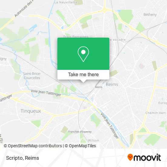
See Scripto, Reims, on the map
Public Transit to Scripto in Reims
Wondering how to get to Scripto in Reims? Moovit helps you find the best way to get to Scripto with step-by-step directions from the nearest public transit station.
Moovit provides free maps and live directions to help you navigate through your city. View schedules, routes, timetables, and find out how long does it take to get to Scripto in real time.
Looking for the nearest stop or station to Scripto? Check out this list of stops closest to your destination: Arnould; Etape; Manege; Gare De Reims - Centre; Gare Clairmarais.
Bus: O1, U4, U6, U7, U3, C, U1, U8, U9, 20, TRAM, E1, E6, E7.
Want to see if there’s another route that gets you there at an earlier time? Moovit helps you find alternative routes or times. Get directions from and directions to Scripto easily from the Moovit App or Website.
We make riding to Scripto easy, which is why over 1.5 million users, including users in Reims, trust Moovit as the best app for public transit. You don’t need to download an individual bus app or train app, Moovit is your all-in-one transit app that helps you find the best bus time or train time available.
For information on prices of bus, costs and ride fares to Scripto, please check the Moovit app.
Use the app to navigate to popular places including to the airport, hospital, stadium, grocery store, mall, coffee shop, school, college, and university.
Scripto Address: 23 Rue Bruyant 51100 Reims street in Reims
- Niazi Shahid Abbas,
- Football Club Caillot,
- Ms Nettoyage Industriel,
- Latelier Elect,
- La Petite Maison de Jane,
- Decodsens,
- Vallier Maggy,
- Sn Pol Simon,
- Automania,
- Lagarde et Meregnani,
- Les Etablissements Alain Compas,
- Olicom,
- Building Co,
- Quartier Libre,
- Meco,
- Pro Impec,
- La Petite Halle,
- Sfrcegetel Sfr,
- Synapse Ingenierie,
- Viebis Immo
Places Near Scripto (Reims)
- Bétheny, Bétheny,
- Ikea, Thillois,
- CHU, Reims,
- Polyclinique Reims Bezannes, Bezannes,
- Campus Croix Rouge, Reims,
- Carrefour, Tinqueux,
- Leclerc, Saint-Brice-Courcelles,
- Tinqueux, Tinqueux,
- Hôpital Maison Blanche, Reims,
- Moulin De La Housse, Reims,
- Cormontreuil, Reims,
- Gare Tgv, Bezannes,
- Parc de Champagne, Reims,
- St Remi, Reims,
- Parc Des Expositions, Reims,
- Hôpital Debré, Reims,
- E. Leclerc Champfleury, Champfleury,
- La Neuvillette, Reims,
- Croix Blandin, Reims,
- Bezannes, Bezannes
How to get to popular places in Reims with public transit
Get around Reims by public transit!
Traveling around Reims has never been so easy. See step by step directions as you travel to any attraction, street or major public transit station. View bus and train schedules, arrival times, service alerts and detailed routes on a map, so you know exactly how to get to anywhere in Reims.
When traveling to any destination around Reims use Moovit's Live Directions with Get Off Notifications to know exactly where and how far to walk, how long to wait for your line, and how many stops are left. Moovit will alert you when it's time to get off — no need to constantly re-check whether yours is the next stop.
Wondering how to use public transit in Reims or how to pay for public transit in Reims? Moovit public transit app can help you navigate your way with public transit easily, and at minimum cost. It includes public transit fees, ticket prices, and costs. Looking for a map of Reims public transit lines? Moovit public transit app shows all public transit maps in Reims with all Bus and Light Rail routes and stops on an interactive map.
Reims has 2 transit type(s), including: Bus and Light Rail, operated by several transit agencies, including Transdev Reims