Directions to Seagate Development Group (Fort Myers) with public transportation
The following transit lines have routes that pass near Seagate Development Group
 Bus: 110.
How to get to Seagate Development Group by bus?
Click on the bus route to see step by step directions with maps, line arrival times and updated time schedules.
From Calendar Club and Go! Games and Toys, Fort Myers
34 minFrom Fort Myers Pest Control Co., Fort Myers
54 minFrom Guardian ad Litem Program Office, Fort Myers
58 minFrom Pur Home Services Water Treatment Solutions, Lehigh Acres
27 minFrom U.S.-41 / Colonial Blvd. Intersection, Fort Myers
33 minFrom Lee County Government, Uncommon Friends, Waste Water Collection Lines Service & Repairs, Fort Myers
55 minFrom MetroPCS, Fort Myers
34 min
Bus stop near Seagate Development Group in Fort Myers
- Colonial Blvd @ Treeline Ave, 34 min walk,VIEW
Bus lines to Seagate Development Group in Fort Myers
- 110, Plaza Dr @ Homestead Rd N,VIEW
What are the closest stations to Seagate Development Group?
The closest stations to Seagate Development Group are:
- Colonial Blvd @ Treeline Ave is 2913 yards away, 34 min walk.
Which bus line stops near Seagate Development Group?
110 (Edison Mall Transfer Ctr→Plaza Dr @ Homestead Rd N)
What time is the first bus to Seagate Development Group in Fort Myers?
The 110 is the first bus that goes to Seagate Development Group in Fort Myers. It stops nearby at 5:10 AM.
What time is the last bus to Seagate Development Group in Fort Myers?
The 110 is the last bus that goes to Seagate Development Group in Fort Myers. It stops nearby at 9:47 PM.
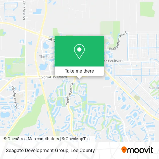
See Seagate Development Group, Fort Myers, on the map
Public Transit to Seagate Development Group in Fort Myers
Wondering how to get to Seagate Development Group in Fort Myers? Moovit helps you find the best way to get to Seagate Development Group with step-by-step directions from the nearest public transit station.
Moovit provides free maps and live directions to help you navigate through your city. View schedules, routes, timetables, and find out how long does it take to get to Seagate Development Group in real time.
Looking for the nearest stop or station to Seagate Development Group? Check out this list of stops closest to your destination: Colonial Blvd @ Treeline Ave.
Bus: 110.
Want to see if there’s another route that gets you there at an earlier time? Moovit helps you find alternative routes or times. Get directions from and directions to Seagate Development Group easily from the Moovit App or Website.
We make riding to Seagate Development Group easy, which is why over 1.5 million users, including users in Fort Myers, trust Moovit as the best app for public transit. You don’t need to download an individual bus app or train app, Moovit is your all-in-one transit app that helps you find the best bus time or train time available.
For information on prices of bus, costs and ride fares to Seagate Development Group, please check the Moovit app.
Use the app to navigate to popular places including to the airport, hospital, stadium, grocery store, mall, coffee shop, school, college, and university.
Seagate Development Group Address: 10688 Colonial Blvd Fort Myers, FL 33913 street in Fort Myers
- Tommy's Express Car Wash,
- Libertyx Bitcoin ATM,
- Arbor Towne Square,
- Qwik Pack and Ship,
- Wanfu Buffet,
- Allstate Insurance,
- Fresh Nails Bar,
- Next Plumbing,
- Quik Pack & Ship,
- Sawyer Salon,
- Billy Nunes,
- Legendz Barbershop,
- Treeline And Colonial,
- Luxe Nail Studio,
- Fairway Title Service,
- Coinstar,
- BMO Harris Bank,
- WESTERN UNION,
- Blue Rhino,
- 7-Eleven
Places Near Seagate Development Group (Fort Myers)
- Edison Mall, Fort Myers,
- Flixbus, Fort Myers,
- Bonita Springs, FL, Bonita Springs,
- Lehigh Acres, FL, Lehigh Acres,
- Ft Myers Airport RSW,
- Pelican Landing Beach Shuttle, Bonita Springs,
- US-41, Fort Myers,
- Matlacha Nude Beach, Matlacha Isles-Matlacha Shores,
- Bonita Beach, Bonita Springs,
- I-75 & MLK (Exit 138), Fort Myers,
- Walmart Supercenter, Fort Myers,
- Bonita Bay Private Beach Club, Bonita Springs,
- Rosa Parks Transportation Center, Fort Myers,
- Lee County Tax Collector, Cape Coral,
- Amazon Warehouse Rsw5,
- I-75 & Colonial (Exit 136), Fort Myers,
- Miromar Outlets, Estero,
- U.S.-41 / Colonial Blvd. Intersection, Fort Myers,
- All About U Naples Escorts, Pine Ridge,
- Seminole Casino Hotel Immokalee
How to get to popular places in Lee County with public transit
Get around Fort Myers by public transit!
Traveling around Fort Myers has never been so easy. See step by step directions as you travel to any attraction, street or major public transit station. View bus and train schedules, arrival times, service alerts and detailed routes on a map, so you know exactly how to get to anywhere in Fort Myers.
When traveling to any destination around Fort Myers use Moovit's Live Directions with Get Off Notifications to know exactly where and how far to walk, how long to wait for your line, and how many stops are left. Moovit will alert you when it's time to get off — no need to constantly re-check whether yours is the next stop.
Wondering how to use public transit in Fort Myers or how to pay for public transit in Fort Myers? Moovit public transit app can help you navigate your way with public transit easily, and at minimum cost. It includes public transit fees, ticket prices, and costs. Looking for a map of Fort Myers public transit lines? Moovit public transit app shows all public transit maps in Fort Myers with all bus routes and stops on an interactive map.
Lee County has 1 transit type(s), including: bus, operated by several transit agencies, including LeeTran, CAT and FlixBus-us