How to get to Secure Limits Security Systems by bus?
Click on the bus route to see step by step directions with maps, line arrival times and updated time schedules.
From East Orange, NJ, East Orange
70 minFrom Walmart Supercenter, Secaucus
44 minFrom John F Kennedy Blvd, Jersey City
73 minFrom Garden State Plaza, Paramus
64 minFrom Walmart, Jersey City
64 minFrom Bergenline NJ, West New York
54 minFrom Lodi, NJ, Lodi
43 minFrom Walmart, Kearny
64 minFrom Clara Maass Medical Center, Belleville
60 minFrom King Spa, Palisades Park
79 min
How to get to Secure Limits Security Systems by train?
Click on the train route to see step by step directions with maps, line arrival times and updated time schedules.
Bus stops near Secure Limits Security Systems in Rutherford
Train station near Secure Limits Security Systems in Rutherford
- Delawanna, 27 min walk,VIEW
Bus lines to Secure Limits Security Systems in Rutherford
What are the closest stations to Secure Limits Security Systems?
The closest stations to Secure Limits Security Systems are:
- Rutherford Ave at Stuyvesant Ave is 643 yards away, 10 min walk.
- Union Ave at Carmita Ave is 966 yards away, 12 min walk.
- Delawanna is 2313 yards away, 27 min walk.
- Delawanna Ave & River Rd is 3973 yards away, 47 min walk.
Which bus lines stop near Secure Limits Security Systems?
These bus lines stop near Secure Limits Security Systems: 190, 192, 76.
Which train line stops near Secure Limits Security Systems?
MCL (Suffern)
What’s the nearest train station to Secure Limits Security Systems in Rutherford?
The nearest train station to Secure Limits Security Systems in Rutherford is Delawanna. It’s a 27 min walk away.
What’s the nearest bus station to Secure Limits Security Systems in Rutherford?
The nearest bus station to Secure Limits Security Systems in Rutherford is Rutherford Ave at Stuyvesant Ave. It’s a 10 min walk away.
What time is the first train to Secure Limits Security Systems in Rutherford?
The MCL is the first train that goes to Secure Limits Security Systems in Rutherford. It stops nearby at 5:34 AM.
What time is the last train to Secure Limits Security Systems in Rutherford?
The MCL is the last train that goes to Secure Limits Security Systems in Rutherford. It stops nearby at 1:56 AM.
What time is the first bus to Secure Limits Security Systems in Rutherford?
The 190 is the first bus that goes to Secure Limits Security Systems in Rutherford. It stops nearby at 3:02 AM.
What time is the last bus to Secure Limits Security Systems in Rutherford?
The 190 is the last bus that goes to Secure Limits Security Systems in Rutherford. It stops nearby at 2:58 AM.
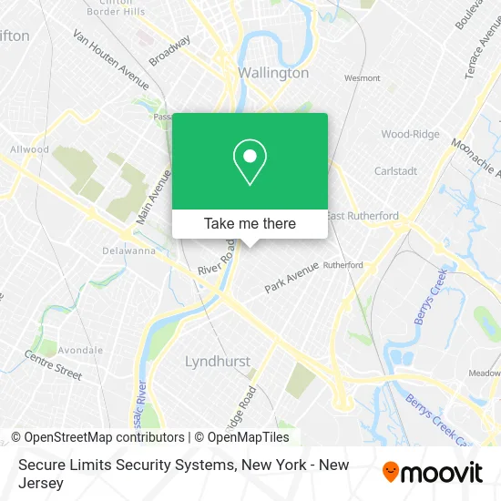
See Secure Limits Security Systems, Rutherford, on the map
Public Transit to Secure Limits Security Systems in Rutherford
Wondering how to get to Secure Limits Security Systems in Rutherford? Moovit helps you find the best way to get to Secure Limits Security Systems with step-by-step directions from the nearest public transit station.
Moovit provides free maps and live directions to help you navigate through your city. View schedules, routes, timetables, and find out how long does it take to get to Secure Limits Security Systems in real time.
Looking for the nearest stop or station to Secure Limits Security Systems? Check out this list of stops closest to your destination: Rutherford Ave at Stuyvesant Ave; Union Ave at Carmita Ave; Delawanna; Delawanna Ave & River Rd.
Bus: 190, 192, 76, 191, 195, 199, 74.Train: MCL, PJL.
Want to see if there’s another route that gets you there at an earlier time? Moovit helps you find alternative routes or times. Get directions from and directions to Secure Limits Security Systems easily from the Moovit App or Website.
We make riding to Secure Limits Security Systems easy, which is why over 1.5 million users, including users in Rutherford, trust Moovit as the best app for public transit. You don’t need to download an individual bus app or train app, Moovit is your all-in-one transit app that helps you find the best bus time or train time available.
For information on prices of bus and train, costs and ride fares to Secure Limits Security Systems, please check the Moovit app.
Use the app to navigate to popular places including to the airport, hospital, stadium, grocery store, mall, coffee shop, school, college, and university.
Secure Limits Security Systems Address: 357 Carmita Ave Rutherford, NJ 07070 street in Rutherford
- The Red Wagon Group,
- 18th Amendment,
- Doubleday Field, Cooperstown,
- The Internet Data Exchange Program,
- Next Generation Home Inspections,
- Marine Corps League Detachment 710,
- R.C. Racing Concepts,
- Union Foods Inc,
- Valente Plumbing & Heating,
- RT-21 Exit 9,
- Beach Haven , Long Beach Island,
- River Drive Apartments,
- Felician University,
- Felician College -Sr. Theresa Mary Martin Hall,
- Study Tours: the New York Experience at Felician College,
- Premier die Cutting,
- Tjs Nutrition,
- Amazon Locker - Goldengrab,
- Asa Stone Contractors Inc,
- Grace's Closet
Places Near Secure Limits Security Systems (Rutherford)
- Times Square, Manhattan,
- 66 John Street, Manhattan,
- Pier 83, Manhattan,
- 111 Centre New York City Supreme Court, Manhattan,
- 376 Hudson Street, Manhattan,
- Chinatown, Manhattan,
- Mountainside Hospital, Glen Ridge,
- Katz's Deli, Manhattan,
- Wall Street, Manhattan,
- Queens Center Mall, Queens,
- SoHo, Manhattan,
- Bellevue Hospital, Manhattan,
- 26 Federal Plaza, Manhattan,
- 1 Police Plaza, Manhattan,
- 911 Memorial, Manhattan,
- Rockefeller Center, Manhattan,
- San Gennaro Feast, Manhattan,
- qqqq, Manhattan,
- 3 Stone St, Manhattan,
- Hudson Yards, Manhattan
How to get to popular places in New York - New Jersey with public transit
Get around Rutherford by public transit!
Traveling around Rutherford has never been so easy. See step by step directions as you travel to any attraction, street or major public transit station. View bus and train schedules, arrival times, service alerts and detailed routes on a map, so you know exactly how to get to anywhere in Rutherford.
When traveling to any destination around Rutherford use Moovit's Live Directions with Get Off Notifications to know exactly where and how far to walk, how long to wait for your line, and how many stops are left. Moovit will alert you when it's time to get off — no need to constantly re-check whether yours is the next stop.
Wondering how to use public transit in Rutherford or how to pay for public transit in Rutherford? Moovit public transit app can help you navigate your way with public transit easily, and at minimum cost. It includes public transit fees, ticket prices, and costs. Looking for a map of Rutherford public transit lines? Moovit public transit app shows all public transit maps in Rutherford with all Bus, Train, Subway, Light Rail, Ferry and Cable Car routes and stops on an interactive map.
New York - New Jersey has 6 transit type(s), including: Bus, Train, Subway, Light Rail, Ferry and Cable Car, operated by several transit agencies, including MTA Subway, Metro-North Railroad, LIRR, PATH, MTA New York City Transit - Express routes, MTA Bus, NJ Transit, NYC Ferry, NICE bus, Bee-Line Bus, NJ Transit Rail, Norwalk Transit District, Hartford Line, River Valley Transit and HART