How to get to Secure Locksmith Key by bus?
Click on the bus route to see step by step directions with maps, line arrival times and updated time schedules.
Bus stops near Secure Locksmith Key in Norfolk
Light Rail stations near Secure Locksmith Key in Norfolk
- Ballentine Broad Creek Station, 49 min walk,VIEW
What are the closest stations to Secure Locksmith Key?
The closest stations to Secure Locksmith Key are:
- Lafayette & Argonne is 273 yards away, 4 min walk.
- Tidewater & Cromwell is 781 yards away, 10 min walk.
- Ballentine Broad Creek Station is 4148 yards away, 49 min walk.
Which bus lines stop near Secure Locksmith Key?
These bus lines stop near Secure Locksmith Key: 003, 023, 961.
What’s the nearest bus station to Secure Locksmith Key in Norfolk?
The nearest bus station to Secure Locksmith Key in Norfolk is Lafayette & Argonne. It’s a 4 min walk away.
What time is the first light rail to Secure Locksmith Key in Norfolk?
The 800 is the first light rail that goes to Secure Locksmith Key in Norfolk. It stops nearby at 5:34 AM.
What time is the last light rail to Secure Locksmith Key in Norfolk?
The 800 is the last light rail that goes to Secure Locksmith Key in Norfolk. It stops nearby at 11:47 PM.
What time is the first bus to Secure Locksmith Key in Norfolk?
The 003 is the first bus that goes to Secure Locksmith Key in Norfolk. It stops nearby at 5:58 AM.
What time is the last bus to Secure Locksmith Key in Norfolk?
The 003 is the last bus that goes to Secure Locksmith Key in Norfolk. It stops nearby at 1:07 AM.
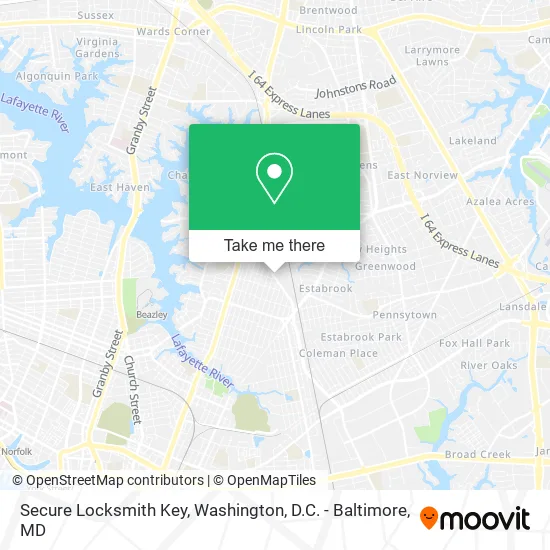
See Secure Locksmith Key, Norfolk, on the map
Public Transit to Secure Locksmith Key in Norfolk
Wondering how to get to Secure Locksmith Key in Norfolk? Moovit helps you find the best way to get to Secure Locksmith Key with step-by-step directions from the nearest public transit station.
Moovit provides free maps and live directions to help you navigate through your city. View schedules, routes, timetables, and find out how long does it take to get to Secure Locksmith Key in real time.
Looking for the nearest stop or station to Secure Locksmith Key? Check out this list of stops closest to your destination: Lafayette & Argonne; Tidewater & Cromwell; Ballentine Broad Creek Station.
Bus: 003, 023, 961, 008.
Want to see if there’s another route that gets you there at an earlier time? Moovit helps you find alternative routes or times. Get directions from and directions to Secure Locksmith Key easily from the Moovit App or Website.
We make riding to Secure Locksmith Key easy, which is why over 1.5 million users, including users in Norfolk, trust Moovit as the best app for public transit. You don’t need to download an individual bus app or train app, Moovit is your all-in-one transit app that helps you find the best bus time or train time available.
For information on prices of bus, costs and ride fares to Secure Locksmith Key, please check the Moovit app.
Use the app to navigate to popular places including to the airport, hospital, stadium, grocery store, mall, coffee shop, school, college, and university.
Secure Locksmith Key Address: 2604 Cromwell Dr Norfolk, VA 23509 street in Norfolk
- Al Vincents Insurance Agency,
- Direct Auto Insurance,
- TNR Auto,
- Old Dominion Collision & Paint,
- Tidewater Engine & Transmissions,
- Action Auto & Truck Specialist,
- Luper Construction,
- Adesso Precision Machine,
- Evans Legacy Enter,
- Ritter Grounds Maintenance,
- Chesapeake Athletic Club,
- Hudson The Key Man Locksmith,
- Baker Sheet Metal,
- Dominion Virginia Power,
- ATM,
- William Trans & Automobile RPR,
- Wing Tai Trading,
- Asher Masonry and Foundation,
- Colonial Engineering. Technical Services,
- Area Access
Places Near Secure Locksmith Key (Norfolk)
- Sibley Memorial Hospital, Washington,
- PG Mall, Prince George's County,
- Warner Theatre, Washington,
- Marriott Marquis Washington, DC, Washington,
- Washington National Cathedral, Washington,
- Amazon Hq2, Arlington County,
- Georgetown, Washington,
- National Museum of African American History and Culture, Washington,
- M&T Bank Stadium, Baltimore,
- Westfield Montgomery Mall, Montgomery County,
- Capital One Arena, Washington,
- National Mall, Washington,
- The Anthem, Washington,
- Basilica of the National Shrine, Washington,
- Museum Of The Bible, Washington,
- Washington DC VA Medical Center, Washington,
- Rock Creek Tennis Center, Washington,
- Camden Yards, Baltimore,
- National Zoo, Washington,
- Pennsylvania Ave NW (3rd st and pennsylvania), Washington
How to get to popular places in Washington, D.C. - Baltimore, MD with public transit
Get around Norfolk by public transit!
Traveling around Norfolk has never been so easy. See step by step directions as you travel to any attraction, street or major public transit station. View bus and train schedules, arrival times, service alerts and detailed routes on a map, so you know exactly how to get to anywhere in Norfolk.
When traveling to any destination around Norfolk use Moovit's Live Directions with Get Off Notifications to know exactly where and how far to walk, how long to wait for your line, and how many stops are left. Moovit will alert you when it's time to get off — no need to constantly re-check whether yours is the next stop.
Wondering how to use public transit in Norfolk or how to pay for public transit in Norfolk? Moovit public transit app can help you navigate your way with public transit easily, and at minimum cost. It includes public transit fees, ticket prices, and costs. Looking for a map of Norfolk public transit lines? Moovit public transit app shows all public transit maps in Norfolk with all Bus, Train, Metro, Light Rail and Ferry routes and stops on an interactive map.
Washington, D.C. - Baltimore, MD has 5 transit type(s), including: Bus, Train, Metro, Light Rail and Ferry, operated by several transit agencies, including WMATA, Montgomery County Ride On, Fairfax Connector, TheBus, PRTC, DASH - Alexandria, Arlington Transit (ART), RTA of Central Maryland, MDOT MTA, MDOT MTA Light RailLink, MDOT MTA Commuter Bus, MDOT MTA Local Bus, FXBGO!, Virginia Railway Express (VRE) and MARC