How to get to Security Plate Locksmith Miami by bus?
Click on the bus route to see step by step directions with maps, line arrival times and updated time schedules.
From Bascom Palmer Eye Institute, Miami
55 minFrom Coconut Grove Arts Festival, Miami
82 minFrom Miami Senior High School, Miami
55 minFrom Department of Children and Families, Miami
52 minFrom Trump National Doral Miami, North Westside
36 minFrom NW 54th St / SE Le Jeune Rd, Hialeah
65 minFrom G. Holmes Braddock Senior High School, Kendale Lakes-Tamiami
63 minFrom CocoWalk, Miami
80 minFrom Bus 238 East-West Connection (Dolphin Mall), Miami
56 minFrom Miami Dade College West Campus, North Westside
55 min
Bus stops near Security Plate Locksmith Miami in South Westside
Bus lines to Security Plate Locksmith Miami in South Westside
What are the closest stations to Security Plate Locksmith Miami?
The closest stations to Security Plate Locksmith Miami are:
- Sw 87 Av @ Sw 8 St is 140 yards away, 2 min walk.
- Sw 8 St & 87 Av is 358 yards away, 5 min walk.
Which bus lines stop near Security Plate Locksmith Miami?
These bus lines stop near Security Plate Locksmith Miami: 8, 87.
What’s the nearest bus station to Security Plate Locksmith Miami in South Westside?
The nearest bus station to Security Plate Locksmith Miami in South Westside is Sw 87 Av @ Sw 8 St. It’s a 2 min walk away.
What time is the first bus to Security Plate Locksmith Miami in South Westside?
The 8 is the first bus that goes to Security Plate Locksmith Miami in South Westside. It stops nearby at 4:26 AM.
What time is the last bus to Security Plate Locksmith Miami in South Westside?
The 8 is the last bus that goes to Security Plate Locksmith Miami in South Westside. It stops nearby at 1:13 AM.
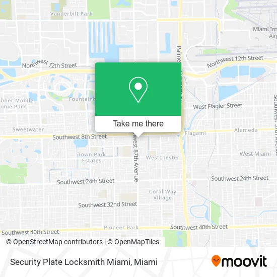
See Security Plate Locksmith Miami, South Westside, on the map
Public Transit to Security Plate Locksmith Miami in South Westside
Wondering how to get to Security Plate Locksmith Miami in South Westside? Moovit helps you find the best way to get to Security Plate Locksmith Miami with step-by-step directions from the nearest public transit station.
Moovit provides free maps and live directions to help you navigate through your city. View schedules, routes, timetables, and find out how long does it take to get to Security Plate Locksmith Miami in real time.
Looking for the nearest stop or station to Security Plate Locksmith Miami? Check out this list of stops closest to your destination: Sw 87 Av @ Sw 8 St; Sw 8 St & 87 Av.
Bus: 8, 87.
Want to see if there’s another route that gets you there at an earlier time? Moovit helps you find alternative routes or times. Get directions from and directions to Security Plate Locksmith Miami easily from the Moovit App or Website.
We make riding to Security Plate Locksmith Miami easy, which is why over 1.5 million users, including users in South Westside, trust Moovit as the best app for public transit. You don’t need to download an individual bus app or train app, Moovit is your all-in-one transit app that helps you find the best bus time or train time available.
For information on prices of bus and train, costs and ride fares to Security Plate Locksmith Miami, please check the Moovit app.
Use the app to navigate to popular places including to the airport, hospital, stadium, grocery store, mall, coffee shop, school, college, and university.
Security Plate Locksmith Miami Address: 933 SW 87th Ave Miami, FL 33174 street in South Westside
- Prime Orthopedic Solutions,
- 87th Ave Locksmith Company,
- Brown Medical Center,
- Alfonso Alina,
- Casa Kñi,
- Income Tax USA of Miami,
- Reinaldo L Azan CPA,
- 8th Street Medical Center,
- Merahide Surplus,
- Cobre,
- Edith Fernandez D.M.D,
- Patrick Minard,
- High End Cuts Barbershop,
- Cano Dental - Galloway,
- Vitalife Home Health Care,
- Caremax Miami - SW 8th St,
- Jetstream Auto Sales,
- Asian Massage Spa,
- Miami Vice Auto Sales,
- Vanidades Cosmetic Surgery-Miamn
Places Near Security Plate Locksmith Miami (South Westside)
- Keiser University Flagship Campus, West Palm Beach,
- Miami-Dade County Courthouse, Miami,
- Miami Design District, Miami,
- Aventura Mall, Miami,
- Aventura Mall, Miami Beach,
- Brickell City Centre, Miami,
- Port of Miami Cruise Terminal, Miami,
- Dolphin Mall Bus, Miami,
- Dolphin Mall, Miami,
- Hard Rock Stadium, Miami Gardens,
- Sawgrass Mall, Miami,
- Miami Freedom Park, Miami,
- Marlins Park, Miami,
- Richard E. Gerstein Justice Building, Miami,
- Sawgrass mall ( FL ), Miami Beach,
- Bayside Marketplace, Miami,
- Miami VA Hospital, Miami,
- Wynwood, Miami,
- Zoo Miami, Miami,
- Little Havana, Miami
How to get to popular places in Miami with public transit
Get around South Westside by public transit!
Traveling around South Westside has never been so easy. See step by step directions as you travel to any attraction, street or major public transit station. View bus and train schedules, arrival times, service alerts and detailed routes on a map, so you know exactly how to get to anywhere in South Westside.
When traveling to any destination around South Westside use Moovit's Live Directions with Get Off Notifications to know exactly where and how far to walk, how long to wait for your line, and how many stops are left. Moovit will alert you when it's time to get off — no need to constantly re-check whether yours is the next stop.
Wondering how to use public transit in South Westside or how to pay for public transit in South Westside? Moovit public transit app can help you navigate your way with public transit easily, and at minimum cost. It includes public transit fees, ticket prices, and costs. Looking for a map of South Westside public transit lines? Moovit public transit app shows all public transit maps in South Westside with all Bus, Train, Light Rail and Ferry routes and stops on an interactive map.
Miami has 4 transit type(s), including: Bus, Train, Light Rail and Ferry, operated by several transit agencies, including Broward County Transit, Miami-Dade Transit, Metrorail, Palm Tran, Tri-Rail, Brightline, MARTY, City of Homestead Trolley, Key West Transit, Treasure Coast Connector, GoLine IRT, Amtrak, Greyhound-us, FlixBus-us and Aventura Express Shuttle Bus