Senter & Balfour (S) stop - Saturday schedule
| Line | Direction | Time |
|---|---|---|
| 73 | Senter & Monterey via Senter | 6:56 AM |
| 73 | Senter & Monterey via Senter | 7:26 AM |
| 73 | Senter & Monterey via Senter | 7:54 AM |
| 73 | Senter & Monterey via Senter | 8:22 AM |
| 73 | Senter & Monterey via Senter | 8:44 AM |
| 73 | Senter & Monterey via Senter | 9:05 AM |
| 73 | Senter & Monterey via Senter | 9:25 AM |
| 73 | Senter & Monterey via Senter | 9:45 AM |
| 73 | Senter & Monterey via Senter | 10:05 AM |
| 73 | Senter & Monterey via Senter | 10:25 AM |
| 73 | Senter & Monterey via Senter | 10:46 AM |
| 73 | Senter & Monterey via Senter | 11:06 AM |
| 73 | Senter & Monterey via Senter | 11:28 AM |
| 73 | Senter & Monterey via Senter | 11:48 AM |
| 73 | Senter & Monterey via Senter | 12:09 PM |
| 73 | Senter & Monterey via Senter | 12:30 PM |
| 73 | Senter & Monterey via Senter | 12:50 PM |
| 73 | Senter & Monterey via Senter | 1:10 PM |
| 73 | Senter & Monterey via Senter | 1:30 PM |
| 73 | Senter & Monterey via Senter | 1:50 PM |
| 73 | Senter & Monterey via Senter | 2:10 PM |
| 73 | Senter & Monterey via Senter | 2:30 PM |
| 73 | Senter & Monterey via Senter | 2:50 PM |
| 73 | Senter & Monterey via Senter | 3:11 PM |
| 73 | Senter & Monterey via Senter | 3:31 PM |
Directions to Senter & Balfour stop (San Jose) with public transit
The following transit lines have routes that pass near Senter & Balfour
 Bus: 73, 42, 70.
- Train: SOUTH COUNTY CONNECTOR.
How to get to Senter & Balfour stop by bus?
Click on the bus route to see step by step directions with maps, line arrival times and updated time schedules.
How to get to Senter & Balfour stop by train?
Click on the train route to see step by step directions with maps, line arrival times and updated time schedules.
Bus stops near Senter & Balfour stop in San Jose
- Senter & Oldham (N), 1 min walk,
- Capitol & Senter (W), 13 min walk,
- Capitol & Senter (E), 13 min walk,
Light Rail stations near Senter & Balfour station in San Jose
- Curtner Station, 14 min walk,
Train stations near Senter & Balfour station in San Jose
- Capitol Caltrain, 31 min walk,
Bus lines to Senter & Balfour stop in San Jose
- 73, Downtown San Jose via Senter,
- 42, Santa Teresa Station,
- 70, Berryessa BART,
What are the closest stations to Senter & Balfour?
The closest stations to Senter & Balfour are:
- Senter & Oldham (N) stop is 44 yards away, 1 min walk.
- Capitol & Senter (W) stop is 1045 yards away, 13 min walk.
- Capitol & Senter (E) stop is 1094 yards away, 13 min walk.
- Curtner Station is 1159 yards away, 14 min walk.
- Capitol Caltrain station is 2450 yards away, 31 min walk.
Which bus line stops near Senter & Balfour?
73 (Senter & Monterey via Senter)
Which train line stops near Senter & Balfour?
SOUTH COUNTY CONNECTOR (Gilroy)
What’s the nearest light rail station to Senter & Balfour in San Jose?
The nearest light rail station to Senter & Balfour in San Jose is Curtner Station. It’s a 14 min walk away.
What’s the nearest bus station to Senter & Balfour in San Jose?
The nearest bus station to Senter & Balfour in San Jose is Senter & Oldham (N). It’s a 1 min walk away.
What time is the first light rail to Senter & Balfour in San Jose?
The BLUE LINE is the first light rail that goes to Senter & Balfour in San Jose. It stops nearby at 4:41 AM.
What time is the last light rail to Senter & Balfour in San Jose?
The BLUE LINE is the last light rail that goes to Senter & Balfour in San Jose. It stops nearby at 12:31 AM.
What time is the first train to Senter & Balfour in San Jose?
The SOUTH COUNTY CONNECTOR is the first train that goes to Senter & Balfour in San Jose. It stops nearby at 6:29 AM.
What time is the last train to Senter & Balfour in San Jose?
The SOUTH COUNTY CONNECTOR is the last train that goes to Senter & Balfour in San Jose. It stops nearby at 6:34 PM.
What time is the first bus to Senter & Balfour in San Jose?
The 70 is the first bus that goes to Senter & Balfour in San Jose. It stops nearby at 5:14 AM.
What time is the last bus to Senter & Balfour in San Jose?
The 73 is the last bus that goes to Senter & Balfour in San Jose. It stops nearby at 11:42 PM.
Senter & Balfour station
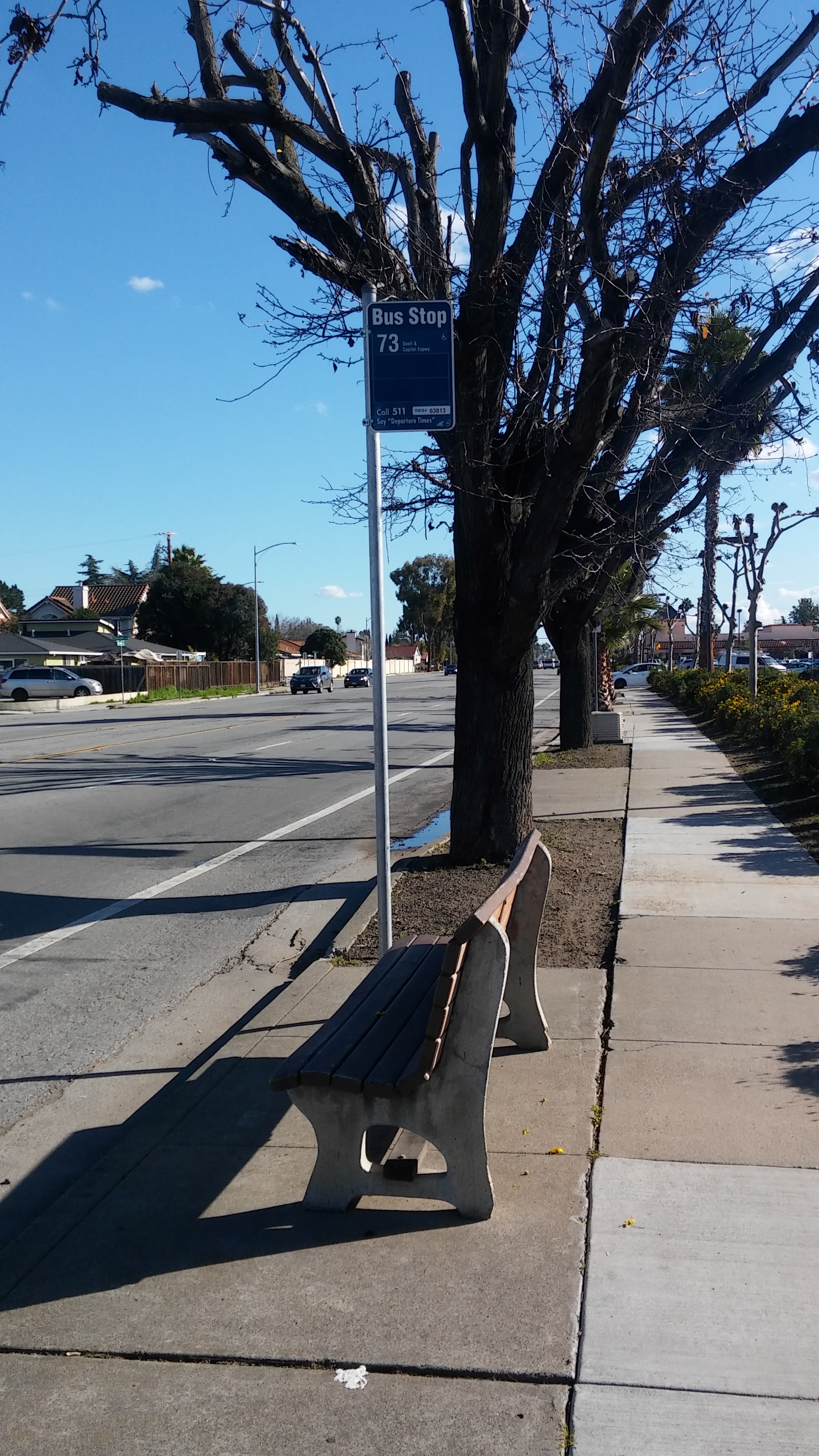 Taken by Adam J.
See Senter & Balfour stop, San Jose, on the map
Public transit to Senter & Balfour (S) stop (ID: 63813) in San Jose
Looking for directions to Senter & Balfour in San Jose, United States?
Download the Moovit App to find the current schedule and step-by-step directions for Bus, Train or Light Rail routes that pass through Senter & Balfour.
Looking for the nearest stops closest to Senter & Balfour ? Check out this list of closest stops to your destination: Senter & Oldham (N); Capitol & Senter (W); Capitol & Senter (E); Curtner Station; Capitol Caltrain.
Bus: 73, 42, 70.Train: SOUTH COUNTY CONNECTOR.
We make riding on public transit to Senter & Balfour easy, which is why over 1.7 billion users, including users in San Jose trust Moovit as the best app for public transit.
Use the app to navigate to popular places including to the airport, hospital, stadium, grocery store, mall, coffee shop, school, college, and university.
Senter & Balfour (S) stop’s code is 63813
The first line to this stop is 73, at 6:56 AM, and the last line is 73 at 12:01 AM.
2857 Senter Rd, San Jose, CA, USA
This stop serves VTA’s lines
- Senter & Oldham (N),
- Capitol & Senter (W),
- Capitol & Senter (E)
Bus stops near Senter & Balfour (S) stop
- Curtner Station
Light Rail station near Senter & Balfour (S) station
- Capitol Caltrain
Train station near Senter & Balfour (S) station
- Market St & Taylor St,
- Pleasant Hill Rd and Taylor Blvd,
- Martin Luther King Jr Way & 29th St,
- El Camino & Arastradero (E),
- Evans Ave & 3rd St,
- San Felipe & Yerba Buena (N),
- Columbus Ave & Broadway,
- California Ave & Linden Ave,
- Marin General Hospital,
- W Winton Av & D St,
- Mowry Av & Cherry St,
- McAllister St & Leavenworth St,
- West Leland Rd & Range Rd,
- Silver Creek & Capitol (N),
- Woodside Rd & Alameda De Las Pulgas,
- Alder Station (N),
- Gellert Blvd & Westborough Blvd,
- North Point St & Mason St,
- Capitol & Seven Trees (E),
- Mission St & 4th St
Popular public transit stations in San Jose
Get around San Jose by public transit!
Traveling around San Jose has never been so easy. See step by step directions as you travel to any attraction, street or major public transit station. View bus and train schedules, arrival times, service alerts and detailed routes on a map, so you know exactly how to get to anywhere in San Jose.
When traveling to any destination around San Jose use Moovit's Live Directions with Get Off Notifications to know exactly where and how far to walk, how long to wait for your line, and how many stops are left. Moovit will alert you when it's time to get off — no need to constantly re-check whether yours is the next stop.
Wondering how to use public transit in San Jose or how to pay for public transit in San Jose? Moovit public transit app can help you navigate your way with public transit easily, and at minimum cost. It includes public transit fees, ticket prices, and costs. Looking for a map of San Jose public transit lines? Moovit public transit app shows all public transit maps in San Jose with all Bus, Train, BART, Light Rail, Ferry and Cable Car routes and stops on an interactive map.
San Francisco - San Jose, CA has 6 transit type(s), including: Bus, Train, BART, Light Rail, Ferry and Cable Car, operated by several transit agencies, including BART, Muni Metro, Caltrain, VTA, Capitol Corridor, Sonoma-Marin Area Rail Transit, MUNI, SF Cable Car, AC Transit , AC Transit, Dumbarton Express, Golden Gate Transit, County Connection, SamTrans and SamTrans / City of Menlo Park