Senter & Singleton (N) stop - Tuesday schedule
| Line | Direction | Time |
|---|---|---|
| 70 | Berryessa BART | 5:14 AM |
| 73 | Downtown San Jose via Senter | 5:30 AM |
| 70 | Milpitas BART | 5:34 AM |
| 70 | Berryessa BART | 5:49 AM |
| 73 | Downtown San Jose via Senter | 5:51 AM |
| 70 | Berryessa BART | 6:03 AM |
| 73 | Downtown San Jose via Senter | 6:13 AM |
| 70 | Milpitas BART | 6:16 AM |
| 73 | Downtown San Jose via Senter | 6:27 AM |
| 70 | Berryessa BART | 6:31 AM |
| 73 | Downtown San Jose via Senter | 6:41 AM |
| 70 | Milpitas BART | 6:44 AM |
| 70 | Berryessa BART | 6:56 AM |
| 73 | Downtown San Jose via Senter | 7:00 AM |
| 70 | Milpitas BART | 7:07 AM |
| 73 | Downtown San Jose via Senter | 7:15 AM |
| 70 | Berryessa BART | 7:20 AM |
| 73 | Downtown San Jose via Senter | 7:28 AM |
| 70 | Milpitas BART | 7:31 AM |
| 73 | Downtown San Jose via Senter | 7:41 AM |
| 70 | Berryessa BART | 7:49 AM |
| 73 | Downtown San Jose via Senter | 7:56 AM |
| 70 | Milpitas BART | 8:09 AM |
| 73 | Downtown San Jose via Senter | 8:12 AM |
| 73 | Downtown San Jose via Senter | 8:27 AM |
Directions to Senter & Singleton (N) stop (San Jose) with public transit
The following transit lines have routes that pass near Senter & Singleton (N)
 Bus: 70, 72, 73, 42.
- Train: SOUTH COUNTY CONNECTOR.
How to get to Senter & Singleton (N) stop by bus?
Click on the bus route to see step by step directions with maps, line arrival times and updated time schedules.
How to get to Senter & Singleton (N) stop by train?
Click on the train route to see step by step directions with maps, line arrival times and updated time schedules.
Bus stops near Senter & Singleton (N) stop in San Jose
- Senter & Singleton (S), 2 min walk,
- Capitol & Senter (E), 6 min walk,
- Senter & Buckeye (S), 7 min walk,
Light Rail stations near Senter & Singleton (N) station in San Jose
- Branham Station, 11 min walk,
Train stations near Senter & Singleton (N) station in San Jose
- Capitol Caltrain, 42 min walk,
Bus lines to Senter & Singleton (N) stop in San Jose
- 70, Berryessa BART,
- 73, Downtown San Jose via Senter,
- 42, Santa Teresa Station,
- 72, Downtown San Jose via McLaughlin,
What are the closest stations to Senter & Singleton (N)?
The closest stations to Senter & Singleton (N) are:
- Senter & Singleton (S) stop is 94 yards away, 2 min walk.
- Capitol & Senter (E) stop is 475 yards away, 6 min walk.
- Senter & Buckeye (S) stop is 522 yards away, 7 min walk.
- Branham Station is 874 yards away, 11 min walk.
- Capitol Caltrain station is 3530 yards away, 42 min walk.
Which bus lines stop near Senter & Singleton (N)?
These bus lines stop near Senter & Singleton (N): 70, 72, 73.
Which train line stops near Senter & Singleton (N)?
SOUTH COUNTY CONNECTOR (Gilroy)
What’s the nearest light rail station to Senter & Singleton (N) in San Jose?
The nearest light rail station to Senter & Singleton (N) in San Jose is Branham Station. It’s a 11 min walk away.
What’s the nearest bus station to Senter & Singleton (N) in San Jose?
The nearest bus station to Senter & Singleton (N) in San Jose is Senter & Singleton (S). It’s a 2 min walk away.
What time is the first light rail to Senter & Singleton (N) in San Jose?
The BLUE LINE is the first light rail that goes to Senter & Singleton (N) in San Jose. It stops nearby at 4:37 AM.
What time is the last light rail to Senter & Singleton (N) in San Jose?
The BLUE LINE is the last light rail that goes to Senter & Singleton (N) in San Jose. It stops nearby at 12:35 AM.
What time is the first train to Senter & Singleton (N) in San Jose?
The SOUTH COUNTY CONNECTOR is the first train that goes to Senter & Singleton (N) in San Jose. It stops nearby at 6:29 AM.
What time is the last train to Senter & Singleton (N) in San Jose?
The SOUTH COUNTY CONNECTOR is the last train that goes to Senter & Singleton (N) in San Jose. It stops nearby at 6:34 PM.
What time is the first bus to Senter & Singleton (N) in San Jose?
The 70 is the first bus that goes to Senter & Singleton (N) in San Jose. It stops nearby at 5:12 AM.
What time is the last bus to Senter & Singleton (N) in San Jose?
The 72 is the last bus that goes to Senter & Singleton (N) in San Jose. It stops nearby at 12:30 AM.
Senter & Singleton (N) station
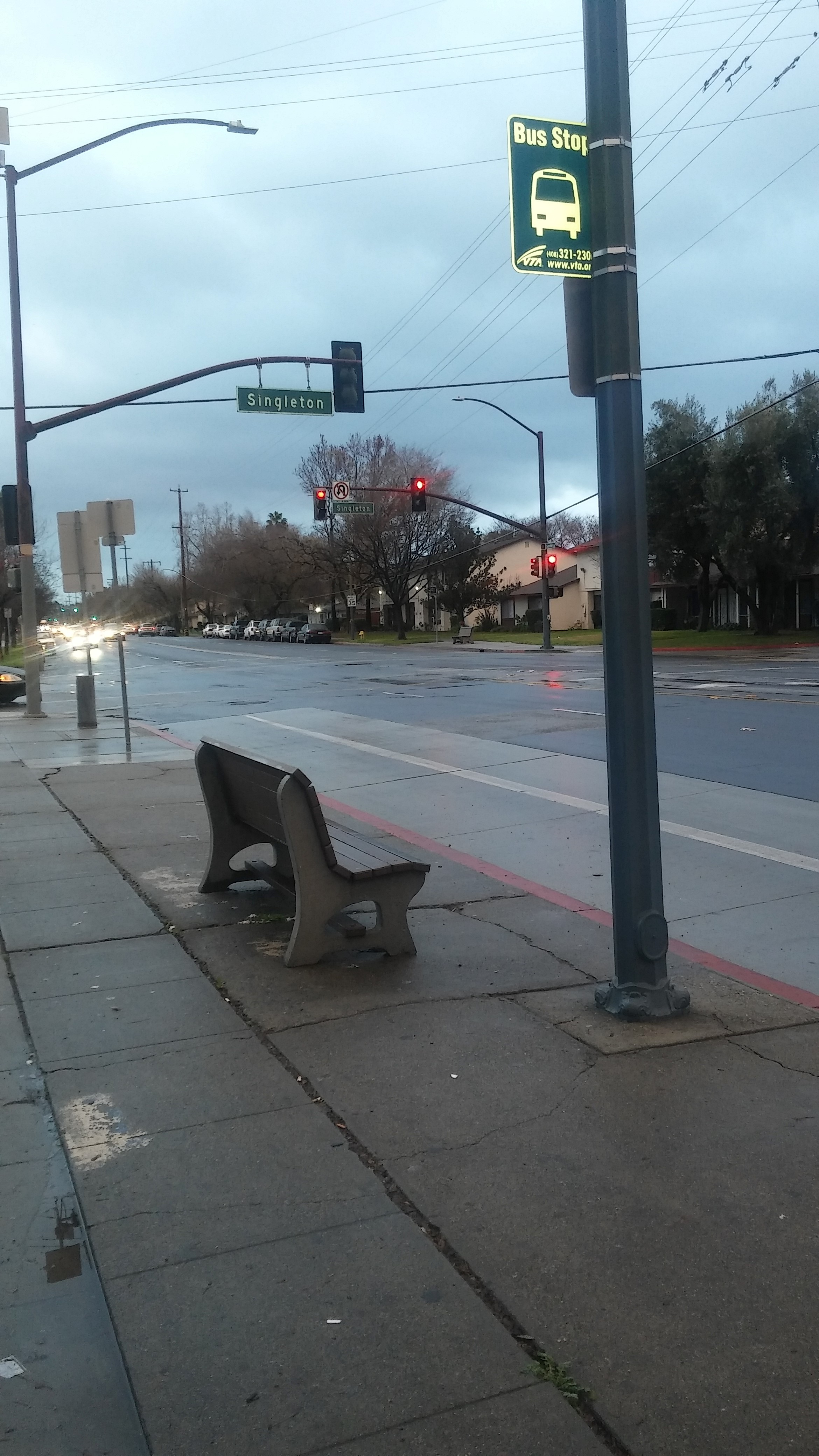 Taken by Adam J.
See Senter & Singleton (N) stop, San Jose, on the map
Public transit to Senter & Singleton (N) stop (ID: 63493) in San Jose
Looking for directions to Senter & Singleton (N) in San Jose, United States?
Download the Moovit App to find the current schedule and step-by-step directions for Bus, Light Rail or Train routes that pass through Senter & Singleton (N).
Looking for the nearest stops closest to Senter & Singleton (N) ? Check out this list of closest stops to your destination: Senter & Singleton (S); Capitol & Senter (E); Senter & Buckeye (S); Branham Station; Capitol Caltrain.
Bus: 70, 72, 73, 42.Train: SOUTH COUNTY CONNECTOR.
We make riding on public transit to Senter & Singleton (N) easy, which is why over 1.7 billion users, including users in San Jose trust Moovit as the best app for public transit.
Use the app to navigate to popular places including to the airport, hospital, stadium, grocery store, mall, coffee shop, school, college, and university.
Senter & Singleton (N) stop’s code is 63493
The first line to this stop is 70, at 5:14 AM, and the last line is 70 at 11:38 PM.
Singleton Lane, San Jose, CA, USA
This stop serves VTA’s lines
Popular routes from Senter & Singleton (N) stop, San Jose
- Senter & Singleton (S),
- Capitol & Senter (E),
- Senter & Buckeye (S)
Bus stops near Senter & Singleton (N) stop
- Branham Station
Light Rail station near Senter & Singleton (N) station
- Capitol Caltrain
Train station near Senter & Singleton (N) station
- King & Alum Rock (N),
- Monument Blvd and Mohr Ln,
- Lafayette BART,
- Judah St & 9th Ave,
- Aborn & White (W),
- Winchester & Payne (N),
- Santa Teresa & San Ignacio (E),
- Masonic Home Main Entrance Gate,
- The Embarcadero & Stockton St,
- McAllister St & Van Ness Ave,
- Geary Blvd & Webster St,
- 1st & Tasman (N),
- 5th St & Brannan St,
- El Camino & Wolfe (W),
- Jefferson St at Pueblo Ave,
- Almaden & Blossom Hill (N),
- Mathilda & Ross (S),
- Presidio Ave & Geary Blvd,
- Geary Blvd & Gough St,
- UCSF / Chase Center (16th St)
Popular public transit stations in San Jose
Get around San Jose by public transit!
Traveling around San Jose has never been so easy. See step by step directions as you travel to any attraction, street or major public transit station. View bus and train schedules, arrival times, service alerts and detailed routes on a map, so you know exactly how to get to anywhere in San Jose.
When traveling to any destination around San Jose use Moovit's Live Directions with Get Off Notifications to know exactly where and how far to walk, how long to wait for your line, and how many stops are left. Moovit will alert you when it's time to get off — no need to constantly re-check whether yours is the next stop.
Wondering how to use public transit in San Jose or how to pay for public transit in San Jose? Moovit public transit app can help you navigate your way with public transit easily, and at minimum cost. It includes public transit fees, ticket prices, and costs. Looking for a map of San Jose public transit lines? Moovit public transit app shows all public transit maps in San Jose with all Bus, Train, BART, Light Rail, Ferry and Cable Car routes and stops on an interactive map.
San Francisco - San Jose, CA has 6 transit type(s), including: Bus, Train, BART, Light Rail, Ferry and Cable Car, operated by several transit agencies, including BART, Muni Metro, Caltrain, VTA, Capitol Corridor, Sonoma-Marin Area Rail Transit, MUNI, SF Cable Car, AC Transit , AC Transit, Dumbarton Express, Golden Gate Transit, County Connection, SamTrans and SamTrans / City of Menlo Park