How to get to Serverpronto by bus?
Click on the bus route to see step by step directions with maps, line arrival times and updated time schedules.
From Miracle Mile & Downtown Coral Gables, Miami
39 minFrom Penguin Hotel Miami Beach, Miami Beach
61 minFrom The Betsy Hotel South Beach Miami Beach, Miami Beach
60 minFrom Versace Mansion, Miami Beach
57 minFrom Beach Outlet, Miami Beach
59 minFrom Lincoln Road Mall & Lincoln Road, Miami Beach
44 minFrom Clock Thermometer, Miami Beach
56 minFrom Consulado de Mexico en Miami, Miami
55 minFrom Happy Endings Massage Parlor, North Westside
65 minFrom Hampton Inn by Hilton Coconut Grove Coral Gables Miami, Miami
42 min
How to get to Serverpronto by train?
Click on the train route to see step by step directions with maps, line arrival times and updated time schedules.
Bus stops near Serverpronto in Miami
Train station near Serverpronto in Miami
- Allapattah Station, 19 min walk,VIEW
Bus lines to Serverpronto in Miami
What are the closest stations to Serverpronto?
The closest stations to Serverpronto are:
- Nw 22 Av & Nw 23 St is 339 yards away, 5 min walk.
- Nw 20 St & Nw 20 Av is 383 yards away, 5 min walk.
- Allapattah Station is 1553 yards away, 19 min walk.
Which bus lines stop near Serverpronto?
These bus lines stop near Serverpronto: 20, 22, 32.
Which train lines stop near Serverpronto?
These train lines stop near Serverpronto: GREEN, ORANGE.
What’s the nearest train station to Serverpronto in Miami?
The nearest train station to Serverpronto in Miami is Allapattah Station. It’s a 19 min walk away.
What’s the nearest bus station to Serverpronto in Miami?
The nearest bus stations to Serverpronto in Miami are Nw 22 Av & Nw 23 St and Nw 20 St & Nw 20 Av. The closest one is a 5 min walk away.
What time is the first train to Serverpronto in Miami?
The ORANGE is the first train that goes to Serverpronto in Miami. It stops nearby at 5:08 AM.
What time is the last train to Serverpronto in Miami?
The GREEN is the last train that goes to Serverpronto in Miami. It stops nearby at 12:37 AM.
What time is the first bus to Serverpronto in Miami?
The 20 is the first bus that goes to Serverpronto in Miami. It stops nearby at 4:29 AM.
What time is the last bus to Serverpronto in Miami?
The 32 is the last bus that goes to Serverpronto in Miami. It stops nearby at 12:09 AM.
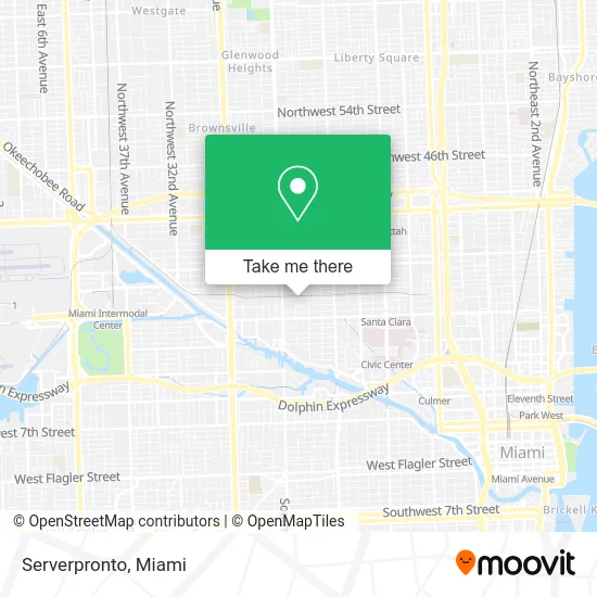
See Serverpronto, Miami, on the map
Public Transit to Serverpronto in Miami
Wondering how to get to Serverpronto in Miami? Moovit helps you find the best way to get to Serverpronto with step-by-step directions from the nearest public transit station.
Moovit provides free maps and live directions to help you navigate through your city. View schedules, routes, timetables, and find out how long does it take to get to Serverpronto in real time.
Looking for the nearest stop or station to Serverpronto? Check out this list of stops closest to your destination: Nw 22 Av & Nw 23 St; Nw 20 St & Nw 20 Av; Allapattah Station.
Bus: 20, 22, 32, MIAALP.Train: GREEN, ORANGE.
Want to see if there’s another route that gets you there at an earlier time? Moovit helps you find alternative routes or times. Get directions from and directions to Serverpronto easily from the Moovit App or Website.
We make riding to Serverpronto easy, which is why over 1.5 million users, including users in Miami, trust Moovit as the best app for public transit. You don’t need to download an individual bus app or train app, Moovit is your all-in-one transit app that helps you find the best bus time or train time available.
For information on prices of bus and train, costs and ride fares to Serverpronto, please check the Moovit app.
Use the app to navigate to popular places including to the airport, hospital, stadium, grocery store, mall, coffee shop, school, college, and university.
Serverpronto Address: 1961 NW 22nd St Miami, FL 33142 street in Miami
- Consulado General Del Ecuador en Miami,
- NW 23rd St / NW 21st Ave,
- Allyinsurance Agency,
- Muebles David Danilo Santos Todo en Madera,
- HOOTERS,
- Allapattah Parking Plaza Garage,
- Goodwill Allapattah Outlet Store,
- Goodwill,
- Evolutions Graphics Signs & Wraps,
- Waowig Studio,
- Florida Muffler Towing Body Shop,
- Sofia Corporation Inc. Chicharrones,
- All Pro Plumbing,
- Antojitos Mexico Honduras,
- Championfit,
- Ministerio Internacional Nuevo Nacimiento,
- Medina Baking,
- Cable,
- Miami Frame Collision Center,
- NEPA Wholesale
Places Near Serverpronto (Miami)
- Wynwood, Miami,
- Sawgrass mall ( FL ), Miami Beach,
- Miami-Dade County Courthouse, Miami,
- Sawgrass Mall, Miami,
- Keiser University Flagship Campus, West Palm Beach,
- Marlins Park, Miami,
- Bayside Marketplace, Miami,
- Aventura Mall, Miami Beach,
- Zoo Miami, Miami,
- Miami Design District, Miami,
- Hard Rock Stadium, Miami Gardens,
- Miami Freedom Park, Miami,
- Dolphin Mall Bus, Miami,
- Little Havana, Miami,
- Aventura Mall, Miami,
- Miami VA Hospital, Miami,
- Brickell City Centre, Miami,
- Dolphin Mall, Miami,
- Richard E. Gerstein Justice Building, Miami,
- Port of Miami Cruise Terminal, Miami
How to get to popular places in Miami with public transit
Get around Miami by public transit!
Traveling around Miami has never been so easy. See step by step directions as you travel to any attraction, street or major public transit station. View bus and train schedules, arrival times, service alerts and detailed routes on a map, so you know exactly how to get to anywhere in Miami.
When traveling to any destination around Miami use Moovit's Live Directions with Get Off Notifications to know exactly where and how far to walk, how long to wait for your line, and how many stops are left. Moovit will alert you when it's time to get off — no need to constantly re-check whether yours is the next stop.
Wondering how to use public transit in Miami or how to pay for public transit in Miami? Moovit public transit app can help you navigate your way with public transit easily, and at minimum cost. It includes public transit fees, ticket prices, and costs. Looking for a map of Miami public transit lines? Moovit public transit app shows all public transit maps in Miami with all Bus, Train, Light Rail and Ferry routes and stops on an interactive map.
Miami has 4 transit type(s), including: Bus, Train, Light Rail and Ferry, operated by several transit agencies, including Broward County Transit, Miami-Dade Transit, Metrorail, Palm Tran, Tri-Rail, Brightline, MARTY, City of Homestead Trolley, Key West Transit, Treasure Coast Connector, GoLine IRT, Amtrak, Greyhound-us, FlixBus-us and Aventura Express Shuttle Bus