Shadow Valley Ln & Carson Ct stop - Friday schedule
| Line | Direction | Time |
|---|---|---|
| 620 | Bouquet & Centurion | 7:25 AM |
| 620 | Saugus High | 2:50 PM |
| 633 | Seco Canyon | 3:19 PM |
Directions to Shadow Valley Ln & Carson Ct stop (Los Angeles) with public transit
The following transit lines have routes that pass near Shadow Valley Ln & Carson Ct
 Bus: 12, 4, 620, 633, 621.
How to get to Shadow Valley Ln & Carson Ct stop by bus?
Click on the bus route to see step by step directions with maps, line arrival times and updated time schedules.
Bus stops near Shadow Valley Ln & Carson Ct stop in Los Angeles
- Kathleen Ave & Copper Hill Dr, 4 min walk,
- Bouquet Canyon Rd & Blue Cloud Rd, 11 min walk,
- Bouquet Canyon Rd & Russ Jay St, 13 min walk,
Bus lines to Shadow Valley Ln & Carson Ct stop in Los Angeles
- 620, Bouquet & Centurion,
- 633, Seco Canyon,
- 4, Larc,
- 621, Arroyo Seco Jr High,
What are the closest stations to Shadow Valley Ln & Carson Ct?
The closest stations to Shadow Valley Ln & Carson Ct are:
- Kathleen Ave & Copper Hill Dr is 296 yards away, 4 min walk.
- Bouquet Canyon Rd & Blue Cloud Rd is 865 yards away, 11 min walk.
- Bouquet Canyon Rd & Russ Jay St is 1045 yards away, 13 min walk.
Which bus lines stop near Shadow Valley Ln & Carson Ct?
These bus lines stop near Shadow Valley Ln & Carson Ct: 12, 4.
What’s the nearest bus station to Shadow Valley Ln & Carson Ct in Los Angeles?
The nearest bus station to Shadow Valley Ln & Carson Ct in Los Angeles is Kathleen Ave & Copper Hill Dr. It’s a 4 min walk away.
What time is the first bus to Shadow Valley Ln & Carson Ct in Los Angeles?
The 621 is the first bus that goes to Shadow Valley Ln & Carson Ct in Los Angeles. It stops nearby at 7:11 AM.
What time is the last bus to Shadow Valley Ln & Carson Ct in Los Angeles?
The 4 is the last bus that goes to Shadow Valley Ln & Carson Ct in Los Angeles. It stops nearby at 8:15 PM.
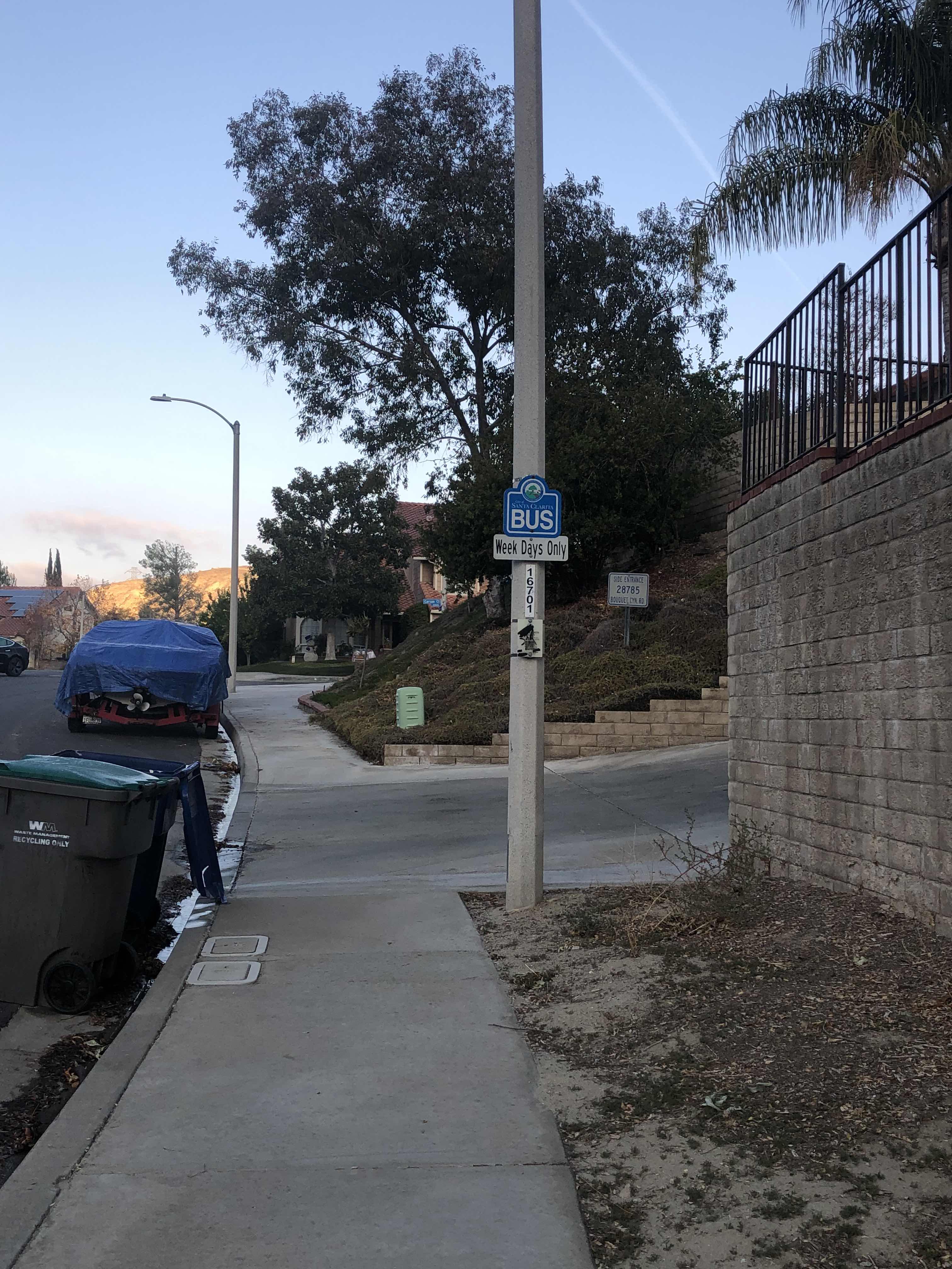
Shadow Valley Ln & Carson Ct station
 Taken by Bill G.
See Shadow Valley Ln & Carson Ct stop, Los Angeles, on the map
Public transit to Shadow Valley Ln & Carson Ct stop (ID: 16701) in Los Angeles
Looking for directions to Shadow Valley Ln & Carson Ct in Los Angeles, United States?
Download the Moovit App to find the current schedule and step-by-step directions for Bus routes that pass through Shadow Valley Ln & Carson Ct.
Looking for the nearest stops closest to Shadow Valley Ln & Carson Ct ? Check out this list of closest stops to your destination: Kathleen Ave & Copper Hill Dr; Bouquet Canyon Rd & Blue Cloud Rd; Bouquet Canyon Rd & Russ Jay St.
Bus: 12, 4, 620, 633, 621.
We make riding on public transit to Shadow Valley Ln & Carson Ct easy, which is why over 1.5 million users, including users in Los Angeles trust Moovit as the best app for public transit.
Get to Shadow Valley Ln & Carson Ct with public transit and pay for the ride in the Moovit app. In addition to all info you may need for your trip to Shadow Valley Ln & Carson Ct, including live directions, real-time arrivals and fare prices, you can also buy public transit passes for your rides. No need for cash or paper tickets to get to Shadow Valley Ln & Carson Ct - everything you need is accessible in the app with a click of the button.
Use the app to navigate to popular places including to the airport, hospital, stadium, grocery store, mall, coffee shop, school, college, and university.
Shadow Valley Ln & Carson Ct stop’s code is 16701
The first line to this stop is 620, at 7:25 AM, and the last line is 633 at 3:19 PM.
Carson Court, Los Angeles County, CA, USA
This stop serves Santa Clarita Transit’s lines
- Kathleen Ave & Copper Hill Dr,
- Bouquet Canyon Rd & Blue Cloud Rd,
- Bouquet Canyon Rd & Russ Jay St
Bus stops near Shadow Valley Ln & Carson Ct stop
- 1st / Lorena,
- Balboa & Nordhoff,
- Florence / Miramonte,
- Flair Dr. and Telstar Ave.,
- Beverly / Crescent Heights,
- Vermont / Sunset Station,
- Woodley / Sherman Way,
- Vernon & Kansas Ave.,
- Del Amo-Bloomfield,
- Vanowen / Winnetka,
- Soto / Olympic,
- Balboa Blvd. & Chatsworth St.,
- Arroyo Pkwy & California Blvd,
- Topanga Canyon Blvd & Vanowen St,
- Magic Mountain Pky & Bouquet Canyon Rd,
- Melrose / Normandie,
- Alvarado / Montana,
- San Fernando / Scott,
- 101 Fwy & Vermont Ave (Westbound),
- Obama / LA Cienega
Popular public transit stations in Los Angeles
Get around Los Angeles by public transit!
Traveling around Los Angeles has never been so easy. See step by step directions as you travel to any attraction, street or major public transit station. View bus and train schedules, arrival times, service alerts and detailed routes on a map, so you know exactly how to get to anywhere in Los Angeles.
When traveling to any destination around Los Angeles use Moovit's Live Directions with Get Off Notifications to know exactly where and how far to walk, how long to wait for your line, and how many stops are left. Moovit will alert you when it's time to get off — no need to constantly re-check whether yours is the next stop.
Wondering how to use public transit in Los Angeles or how to pay for public transit in Los Angeles? Moovit public transit app can help you navigate your way with public transit easily, and at minimum cost. It includes public transit fees, ticket prices, and costs. Looking for a map of Los Angeles public transit lines? Moovit public transit app shows all public transit maps in Los Angeles with all Bus, Train, Subway, Ferry and Funicular routes and stops on an interactive map.
Los Angeles has 5 transit type(s), including: Bus, Train, Subway, Ferry and Funicular, operated by several transit agencies, including Metro, Alhambra Community Transit, Arcadia Transit, Artesia Transit, AVTA, Baldwin Park Transit, Beach Cities Transit, Beaumont Transit, Bell Gardens Town Trolley, Bellflower Bus, Big Blue Bus, Burbank Bus, Calabasas Trolley, Camarillo Area Transit and Carson Circuit