Directions to Shahetou (Cixi City) with public transportation
The following transit lines have routes that pass near Shahetou
 Bus: Cixi Route 203, Cixi 217, Cixi 217, Cixi Route 203.
How to get to Shahetou by bus?
Click on the bus route to see step by step directions with maps, line arrival times and updated time schedules.
From Cixi Aegean Shopping Park, Cixi City
73 minFrom Yuyao High-Speed Railway North Station North Square - Entrance, Yuyao City
66 minFrom China Resources Wucai City, Yuyao City
79 minFrom Jiangqiao Traditional Chinese Medicine Gynecology, Cixi City
42 minFrom Decathlon (Xiaolin Store), Cixi City
47 minFrom Hushan West Gate Big Steamed Bun, Cixi City
50 minFrom Yuyao North Station - North Exit, Yuyao City
63 minFrom Yuyao High-Speed Railway North Station North Square - Exit, Yuyao City
64 minFrom Cixi Route 295 (High-speed Railway Yuyao North Station - Hangzhou Bay New Area Century City Bus Station), Yuyao City
64 minFrom Pengmin Road and Qianying Road Intersection, Cixi City
56 min
Bus lines to Shahetou in Cixi City
What are the closest stations to Shahetou?
The closest stations to Shahetou are:
- Shahe is 570 meters away, 10 min walk.
- Houshan is 770 meters away, 13 min walk.
Which bus lines stop near Shahetou?
These bus lines stop near Shahetou: Cixi Route 203, Cixi 217.
What’s the nearest bus station to Shahetou in Cixi City?
The nearest bus station to Shahetou in Cixi City is Shahe. It’s a 10 min walk away.
What time is the first bus to Shahetou in Cixi City?
The Cixi Route 203 is the first bus that goes to Shahetou in Cixi City. It stops nearby at 6:21 AM.
What time is the last bus to Shahetou in Cixi City?
The Cixi Route 203 is the last bus that goes to Shahetou in Cixi City. It stops nearby at 6:37 PM.
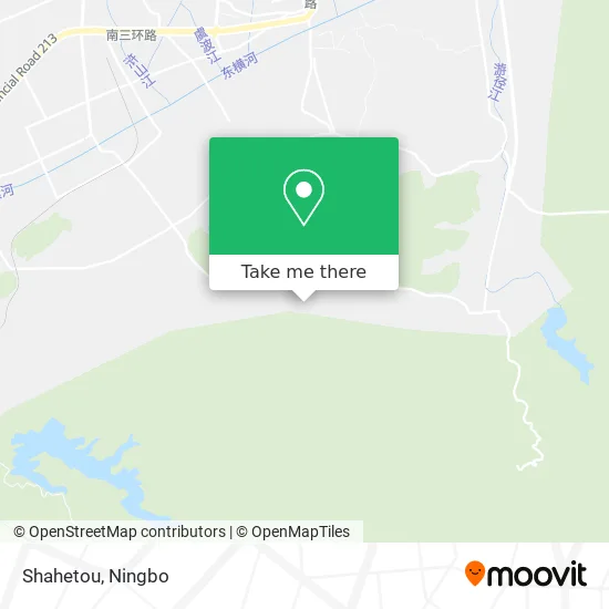
See Shahetou, Cixi City, on the map
Public Transit to Shahetou in Cixi City
Wondering how to get to Shahetou in Cixi City? Moovit helps you find the best way to get to Shahetou with step-by-step directions from the nearest public transit station.
Moovit provides free maps and live directions to help you navigate through your city. View schedules, routes, timetables, and find out how long does it take to get to Shahetou in real time.
Looking for the nearest stop or station to Shahetou? Check out this list of stops closest to your destination: Shahe; Houshan.
Bus: Cixi Route 203, Cixi 217, Cixi 217, Cixi Route 203.
Want to see if there’s another route that gets you there at an earlier time? Moovit helps you find alternative routes or times. Get directions from and directions to Shahetou easily from the Moovit App or Website.
We make riding to Shahetou easy, which is why over 1.5 million users, including users in Cixi City, trust Moovit as the best app for public transit. You don’t need to download an individual bus app or train app, Moovit is your all-in-one transit app that helps you find the best bus time or train time available.
For information on prices of bus, costs and ride fares to Shahetou, please check the Moovit app.
Use the app to navigate to popular places including to the airport, hospital, stadium, grocery store, mall, coffee shop, school, college, and university.
Location: Cixi City, Ningbo
- Cixi Yushun Electric Appliance Co., Ltd.,
- China Petrochemical (Henghe Town Community Health Service Center Meiyuan Village Service Station West),
- Furong Supermarket,
- Henghe Town Community Health Service Center Meiyuan Village Service Station,
- Meiyuan Village Office Building,
- Ningbo Shiyi Children's Products Co., Ltd.,
- Shahe Rear Mountain,
- Cixi Jinxiang Electrical,
- Meiyuan Village,
- Meiyuan Village,
- Mei Garden,
- Namsan,
- Hengjin Line,
- Dashishan,
- Tianle Park,
- Sun'ao,
- Zhushan,
- Zhushan,
- City Gate Post,
- Temple Ruins
Places Near Shahetou (Cixi City)
- Ningbo Lishe International Airport, Yinzhou District,
- Nantang Old Street, Haishu District,
- Ningbo Cultural Creative Port, Jiangbei District,
- Wanxiang City (Under Construction), Jiangbei District,
- Ningbo Medical Center Li Huili Eastern Hospital, Yinzhou District,
- Ningbo Medical Center Li Huili Hospital East Hospital - Outpatient, Yinzhou District,
- Wanxiang City, Jiangbei District,
- Zhongle Dance Hall, Jiangbei District,
- France · Woodpecker,
- Ningbo Traditional Chinese Medicine Hospital, Haishu District,
- Sam's Club (Qinghe Road), Jiangbei District,
- Ningbo Foreigner Beach, Jiangbei District,
- Ningbo First Hospital - Inpatient Department, Haishu District,
- Ningbo Jintian Copper (Group) Co., Ltd., Jiangbei District,
- Li Huili Eastern Hospital, Yinzhou District,
- Ningbo Second Hospital-Emergency, Haishu District,
- Ningbo No. 6 Hospital, Jiangdong District,
- City Hero (New City Wuyue Plaza), Zhenhai District,
- Gas Station, Yinzhou District,
- Ayuwang Temple, Yinzhou District
How to get to popular places in Ningbo with public transit
Get around Cixi City by public transit!
Traveling around Cixi City has never been so easy. See step by step directions as you travel to any attraction, street or major public transit station. View bus and train schedules, arrival times, service alerts and detailed routes on a map, so you know exactly how to get to anywhere in Cixi City.
When traveling to any destination around Cixi City use Moovit's Live Directions with Get Off Notifications to know exactly where and how far to walk, how long to wait for your line, and how many stops are left. Moovit will alert you when it's time to get off — no need to constantly re-check whether yours is the next stop.
Wondering how to use public transit in Cixi City or how to pay for public transit in Cixi City? Moovit public transit app can help you navigate your way with public transit easily, and at minimum cost. It includes public transit fees, ticket prices, and costs. Looking for a map of Cixi City public transit lines? Moovit public transit app shows all public transit maps in Cixi City with all Bus and Metro routes and stops on an interactive map.
Ningbo has 2 transit type(s), including: Bus and Metro, operated by several transit agencies, including Ningbo Metro, Ningbo Bus and Yuyao Bus