How to get to Shake Shack Pike 7 by bus?
Click on the bus route to see step by step directions with maps, line arrival times and updated time schedules.
From Oakton, Virginia, Fairfax County
48 minFrom Defense Health Agency Headquarters, Fairfax County
75 minFrom King's Dominion, Fairfax County
58 minFrom The Westin Arlington Gateway, Arlington County
72 minFrom Falls Church Marriott Fairview Park, Fairfax County
69 minFrom Sibley Memorial Hospital, Washington
134 minFrom Walmart, Arlington County
70 minFrom Intelligence Community Campus—Bethesda, Montgomery County
115 minFrom George H.W. Bush Center For Intelligence (CIA Headquarters), Fairfax County
77 minFrom Fairfax County Courthouse, Fairfax County
67 min
How to get to Shake Shack Pike 7 by metro?
Click on the metro route to see step by step directions with maps, line arrival times and updated time schedules.
Bus stops near Shake Shack Pike 7 in Fairfax County
Metro stations near Shake Shack Pike 7 in Fairfax County
Bus lines to Shake Shack Pike 7 in Fairfax County
What are the closest stations to Shake Shack Pike 7?
The closest stations to Shake Shack Pike 7 are:
- Gosnell Rd @ Leesburg Pike is 347 yards away, 5 min walk.
- Tysons Corner is 369 yards away, 5 min walk.
- Greensboro Dr @ the Rotonda is 823 yards away, 10 min walk.
- Greensboro Dr @ Westpark Dr is 850 yards away, 11 min walk.
- Spring Hill is 2978 yards away, 35 min walk.
- Dunn Loring Merrifield Metro Station is 4815 yards away, 56 min walk.
Which bus lines stop near Shake Shack Pike 7?
These bus lines stop near Shake Shack Pike 7: 401, 427, 463, 798.
Which metro line stops near Shake Shack Pike 7?
SILVER (Ashburn)
What’s the nearest bus station to Shake Shack Pike 7 in Fairfax County?
The nearest bus stations to Shake Shack Pike 7 in Fairfax County are Gosnell Rd @ Leesburg Pike and Tysons Corner. The closest one is a 5 min walk away.
What time is the first metro to Shake Shack Pike 7 in Fairfax County?
The ORANGE is the first metro that goes to Shake Shack Pike 7 in Fairfax County. It stops nearby at 5:04 AM.
What time is the last metro to Shake Shack Pike 7 in Fairfax County?
The SILVER is the last metro that goes to Shake Shack Pike 7 in Fairfax County. It stops nearby at 12:43 AM.
What time is the first bus to Shake Shack Pike 7 in Fairfax County?
The 401 is the first bus that goes to Shake Shack Pike 7 in Fairfax County. It stops nearby at 4:34 AM.
What time is the last bus to Shake Shack Pike 7 in Fairfax County?
The 463 is the last bus that goes to Shake Shack Pike 7 in Fairfax County. It stops nearby at 11:36 PM.
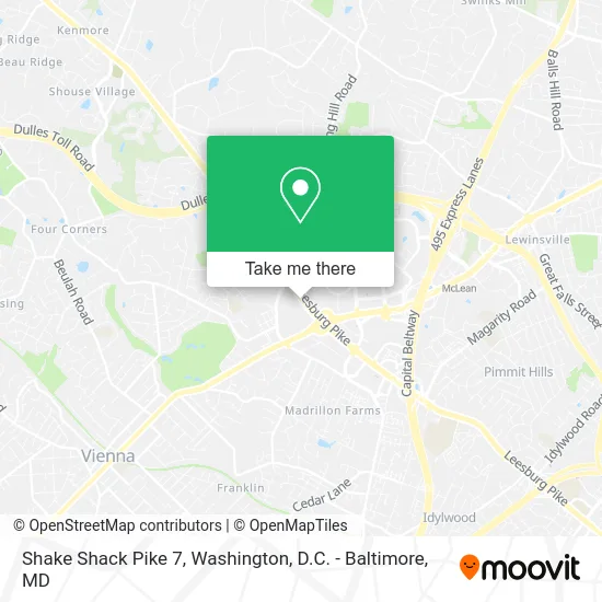
See Shake Shack Pike 7, Fairfax County, on the map
Public Transit to Shake Shack Pike 7 in Fairfax County
Wondering how to get to Shake Shack Pike 7 in Fairfax County? Moovit helps you find the best way to get to Shake Shack Pike 7 with step-by-step directions from the nearest public transit station.
Moovit provides free maps and live directions to help you navigate through your city. View schedules, routes, timetables, and find out how long does it take to get to Shake Shack Pike 7 in real time.
Looking for the nearest stop or station to Shake Shack Pike 7? Check out this list of stops closest to your destination: Gosnell Rd @ Leesburg Pike; Tysons Corner; Greensboro Dr @ the Rotonda; Greensboro Dr @ Westpark Dr; Spring Hill; Dunn Loring Merrifield Metro Station.
Bus: 401, 427, 463, 798, FLIXBUS 2601, FLIXBUS 2605, 432, 402, 574.Metro: SILVER, ORANGE.
Want to see if there’s another route that gets you there at an earlier time? Moovit helps you find alternative routes or times. Get directions from and directions to Shake Shack Pike 7 easily from the Moovit App or Website.
We make riding to Shake Shack Pike 7 easy, which is why over 1.5 million users, including users in Fairfax County, trust Moovit as the best app for public transit. You don’t need to download an individual bus app or train app, Moovit is your all-in-one transit app that helps you find the best bus time or train time available.
For information on prices of bus and metro, costs and ride fares to Shake Shack Pike 7, please check the Moovit app.
Use the app to navigate to popular places including to the airport, hospital, stadium, grocery store, mall, coffee shop, school, college, and university.
Shake Shack Pike 7 Address: 8350 Leesburg Pike Vienna, VA 22182 street in Fairfax County
- Chris Hardgrave - Real Broker,
- Burlington,
- Marshalls Department Store,
- Lightrx - Tysons Corner,
- Kusshi Ko,
- Greensboro Metro Station,
- Dave's Hot Chicken,
- Cvent,
- Digital Harbor,
- Bestech Inc,
- Wicker Homes Group,
- Niosolutions,
- Negotiate To Win,
- Gsa Proposal Maven,
- Hea Intellectual Property Attorneys Notary Services in Tokyo,
- Rockwood Homes & Investments,
- Aptaria,
- Djtaba,
- Shazlis Limousine Service,
- Montcordia
Places Near Shake Shack Pike 7 (Fairfax County)
- Sibley Memorial Hospital, Washington,
- Warner Theatre, Washington,
- National Theatre, Washington,
- Pennsylvania Ave NW (3rd st and pennsylvania), Washington,
- Washington National Cathedral, Washington,
- PG Mall, Prince George's County,
- Capital One Arena, Washington,
- M&T Bank Stadium, Baltimore,
- Museum Of The Bible, Washington,
- National Museum of African American History and Culture, Washington,
- Washington DC VA Medical Center, Washington,
- Basilica of the National Shrine, Washington,
- Georgetown, Washington,
- The Anthem, Washington,
- Rock Creek Tennis Center, Washington,
- Camden Yards, Baltimore,
- National Zoo, Washington,
- Amazon Hq2, Arlington County,
- Marriott Marquis Washington, DC, Washington,
- Westfield Montgomery Mall, Montgomery County
How to get to popular places in Washington, D.C. - Baltimore, MD with public transit
Get around Fairfax County by public transit!
Traveling around Fairfax County has never been so easy. See step by step directions as you travel to any attraction, street or major public transit station. View bus and train schedules, arrival times, service alerts and detailed routes on a map, so you know exactly how to get to anywhere in Fairfax County.
When traveling to any destination around Fairfax County use Moovit's Live Directions with Get Off Notifications to know exactly where and how far to walk, how long to wait for your line, and how many stops are left. Moovit will alert you when it's time to get off — no need to constantly re-check whether yours is the next stop.
Wondering how to use public transit in Fairfax County or how to pay for public transit in Fairfax County? Moovit public transit app can help you navigate your way with public transit easily, and at minimum cost. It includes public transit fees, ticket prices, and costs. Looking for a map of Fairfax County public transit lines? Moovit public transit app shows all public transit maps in Fairfax County with all Bus, Train, Metro, Light Rail and Ferry routes and stops on an interactive map.
Washington, D.C. - Baltimore, MD has 5 transit type(s), including: Bus, Train, Metro, Light Rail and Ferry, operated by several transit agencies, including WMATA, Montgomery County Ride On, Fairfax Connector, TheBus, PRTC, DASH - Alexandria, Arlington Transit (ART), RTA of Central Maryland, MDOT MTA, MDOT MTA Light RailLink, MDOT MTA Commuter Bus, MDOT MTA Local Bus, FXBGO!, Virginia Railway Express (VRE) and MARC