How to get to Shape Foods by bus?
Click on the bus route to see step by step directions with maps, line arrival times and updated time schedules.
Bus stops near Shape Foods in Brandon
What are the closest stations to Shape Foods?
The closest stations to Shape Foods are:
- 13th Street East @ Alpine Bay is 595 meters away, 8 min walk.
- Victoria Ave E @ Acc is 805 meters away, 11 min walk.
Which bus line stops near Shape Foods?
15 (Downtown Terminal (Return)→Downtown Terminal (Return))
What’s the nearest bus station to Shape Foods in Brandon?
The nearest bus station to Shape Foods in Brandon is 13th Street East @ Alpine Bay. It’s a 8 min walk away.
What time is the first bus to Shape Foods in Brandon?
The 15 is the first bus that goes to Shape Foods in Brandon. It stops nearby at 9:40 AM.
What time is the last bus to Shape Foods in Brandon?
The 15 is the last bus that goes to Shape Foods in Brandon. It stops nearby at 6:43 PM.
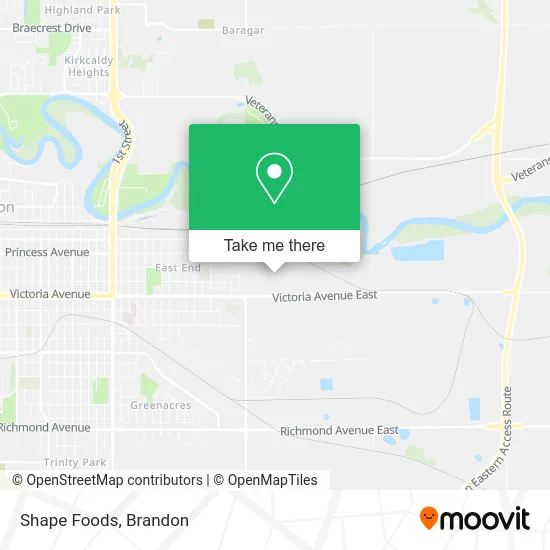
See Shape Foods, Brandon, on the map
Public Transit to Shape Foods in Brandon
Wondering how to get to Shape Foods in Brandon? Moovit helps you find the best way to get to Shape Foods with step-by-step directions from the nearest public transit station.
Moovit provides free maps and live directions to help you navigate through your city. View schedules, routes, timetables, and find out how long does it take to get to Shape Foods in real time.
Looking for the nearest stop or station to Shape Foods? Check out this list of stops closest to your destination: 13th Street East @ Alpine Bay; Victoria Ave E @ Acc.
Bus: 15, 1004.
Want to see if there’s another route that gets you there at an earlier time? Moovit helps you find alternative routes or times. Get directions from and directions to Shape Foods easily from the Moovit App or Website.
We make riding to Shape Foods easy, which is why over 1.5 million users, including users in Brandon, trust Moovit as the best app for public transit. You don’t need to download an individual bus app or train app, Moovit is your all-in-one transit app that helps you find the best bus time or train time available.
For information on prices of bus, costs and ride fares to Shape Foods, please check the Moovit app.
Use the app to navigate to popular places including to the airport, hospital, stadium, grocery store, mall, coffee shop, school, college, and university.
Shape Foods Address: 2001 Victoria Ave E Brandon, MB R7A street in Brandon
- U-Haul,
- Wheat City Towing & Repairs,
- Manitoba Emergency Services College,
- Bloombox,
- LS the Green Spot,
- D and B Snow and Lawn Care,
- Ebenezer Christian Church,
- Riverview Early Learners Ent,
- Riverview Elementary School,
- Pfizer Canada Inc,
- Coombs Driver Training,
- Q Country 91.5fm,
- Pattison Media,
- Renewal Therapies,
- Gate Church Community,
- McDougall Auctioneers,
- Crossroads Rehabilitative Massage,
- Western Mechanical Services, Div of,
- Between the Grain,
- Vacuum World
Places Near Shape Foods (Brandon)
- Keystone Centre Ampitheatre, Brandon,
- Neelin High School, Brandon,
- Amazon Counter-Living Delight (Pudo), Brandon,
- Microtech Service Systems, Brandon,
- Sturgeon Tire, Brandon,
- Co-op, Brandon,
- Labatt's Manitoba Brewery LTD, Brandon,
- CFB Shilo,
- Helix Hearing Inc Dba, Brandon,
- Crocus Plains Regional Secondary School, Brandon,
- Vincent Massey High School, Brandon,
- Real Canadian Superstore, Brandon,
- Evans Theatre, Brandon,
- Maple Leaf Foods, Brandon,
- Betty Gibson School, Brandon,
- Keystone Centre, Brandon,
- École New Era School, Brandon,
- Shoppers Mall, Brandon,
- Assiniboine Community College, Brandon,
- ACC North Hill Campus, Brandon
How to get to popular places in Brandon with public transit
Get around Brandon by public transit!
Traveling around Brandon has never been so easy. See step by step directions as you travel to any attraction, street or major public transit station. View bus and train schedules, arrival times, service alerts and detailed routes on a map, so you know exactly how to get to anywhere in Brandon.
When traveling to any destination around Brandon use Moovit's Live Directions with Get Off Notifications to know exactly where and how far to walk, how long to wait for your line, and how many stops are left. Moovit will alert you when it's time to get off — no need to constantly re-check whether yours is the next stop.
Wondering how to use public transit in Brandon or how to pay for public transit in Brandon? Moovit public transit app can help you navigate your way with public transit easily, and at minimum cost. It includes public transit fees, ticket prices, and costs. Looking for a map of Brandon public transit lines? Moovit public transit app shows all public transit maps in Brandon with all bus routes and stops on an interactive map.
Brandon has 1 transit type(s), including: bus, operated by several transit agencies, including Brandon Transit